 placenames
Stoneyford
Áth na gCloch
Stoneyford in County Antrim preserves a nineteenth-century church history and a reservoir connected with Belfast’s former water supply.
The name
These Irish name elements are associated with this record in the Logainm glossary.
An element’s translation is a clue, rather than a complete explanation of the name. Its form and meaning depend on local history and the full Irish name.
Recorded forms
- Áth na gCloch · Irish · main form · validated name
- Stoneyford · English · main form
Place & story
From the schoolroom to Saint John’s
Before Saint John's Church was built, Stoneyford's Church of Ireland congregation worshipped in a local schoolroom, served from Derriaghy. The Down and Connor Church Accommodation Society awarded a grant in 1840, and the Marquis of Hertford supplied the site. The church opened for worship on 6 October 1841. Consecration followed in 1874, and Stoneyford became a separate parish in 1887. These dates mark different stages in the establishment of the local church. [2]
Recovering the early congregation’s records
The North of Ireland Family History Society's account of the baptism registers explains why early Stoneyford entries can be difficult to trace. Before the separate parish was created, they appeared among Derriaghy's records, sometimes on separate pages and sometimes in the margins. W. C. Kerr compiled handwritten index cards, later transcribed by the society's Lisburn branch and checked against microfilms. The project preserves a route into the community's history while warning readers to verify the original entries. [3]
The reservoir and its valve tower
Stoneyford Reservoir crosses the Stoneyford River and formerly supplied Belfast through the Forked Bridge Water Treatment Works. NI Water's September 2024 account states that it was no longer used for drinking-water supply. A planned lowering of the water level was intended to allow inspection of the valve tower, including modifications made during the mid-1990s. The reservoir therefore retains engineering fabric from its supply role even after that operational use ended. [4]
Geographic information
- Place type
- Population centre
- County
- Antrim
- Barony
- Massereene Upper
- Civil parish
- Derryaghy
- Within
- Island Kelly
- Coordinates
- 54.56351, -6.11370 (approximate)
- Logainm ID
- 135854 ↗
Sources & further reading
- Logainm.ie — Stoneyford. Place names and geographic record, licensed under CC BY 4.0.
- Saint John’s Church, Stoneyford: church history · Lisburn.com; John Kelly, Lisburn’s Rich Church Heritage
- Saint John’s, Stoneyford: Baptisms 1839–1870, introduction · North of Ireland Family History Society, Lisburn Branch
- NI Water to Commence Planned Drawdown at Stoneyford Reservoir, 12 September 2024 · Northern Ireland Water
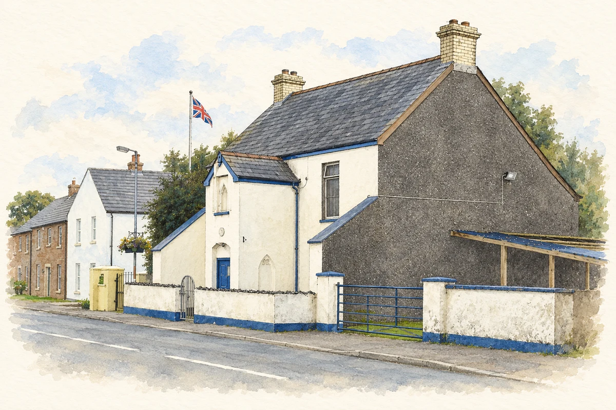
- Stoneyford Orange Hall, County Antrim illustration: based on a Stoneyford Orange Hall by Dean Molyneaux. AI-assisted watercolour and ink adaptation; cream paper margins added, incidental clutter omitted and fine details simplified. Licence: CC BY-SA 2.0.
Name record retrieved 2026-10-25 · Source record modified 2021-05-26. How this page was prepared.