 placenames
Clady Milltown
Baile an Mhuilinn
Clady Milltown’s grain-processing buildings and the wider district’s school history reveal different aspects of rural community life.
The name
These Irish name elements are associated with this record in the Logainm glossary.
An element’s translation is a clue, rather than a complete explanation of the name. Its form and meaning depend on local history and the full Irish name.
Recorded forms
- Baile an Mhuilinn · Irish · main form · validated name
- Clady Milltown · English · main form
Place & story
The mill and the kiln opposite
At the junction of Cladymilltown Road and Lough Road, a stone drying kiln and store stand opposite their associated mill. The Department for Communities’ heritage record notes the surviving waterwheel at the mill and identifies the kiln as a separately listed structure. Its condition assessment in 2013–14 recorded serious deterioration. The paired buildings preserve the arrangement of a grain-processing complex, with preparation and storage taking place across the road from the water-powered machinery. [2]
A rural school reaches Westminster
The closure of nearby Cladymore primary school reached Prime Minister’s Questions on 29 October 1987. John David Taylor told the Commons that parents and the regional education authority had opposed the decision. Margaret Thatcher replied that she had not known about the case and would inquire. The exchange records a local education dispute becoming part of a wider argument about direct rule and democratic accountability in Northern Ireland; it does not record the school being reopened. [3]
Geographic information
- Place type
- Population centre
- County
- Armagh
- Barony
- Fews Lower
- Civil parish
- Kilclooney
- Coordinates
- 54.26373, -6.52652 (approximate)
- Logainm ID
- 136017 ↗
Sources & further reading
- Logainm.ie — Clady Milltown. Place names and geographic record, licensed under CC BY 4.0.
- Drying kiln,86Cladymilltown Road, HARNI1100, HB15/15/013 · Department for Communities, Northern Ireland
- Oral Answers to Questions,29October1987: Cladymore primary school · House of Commons Hansard
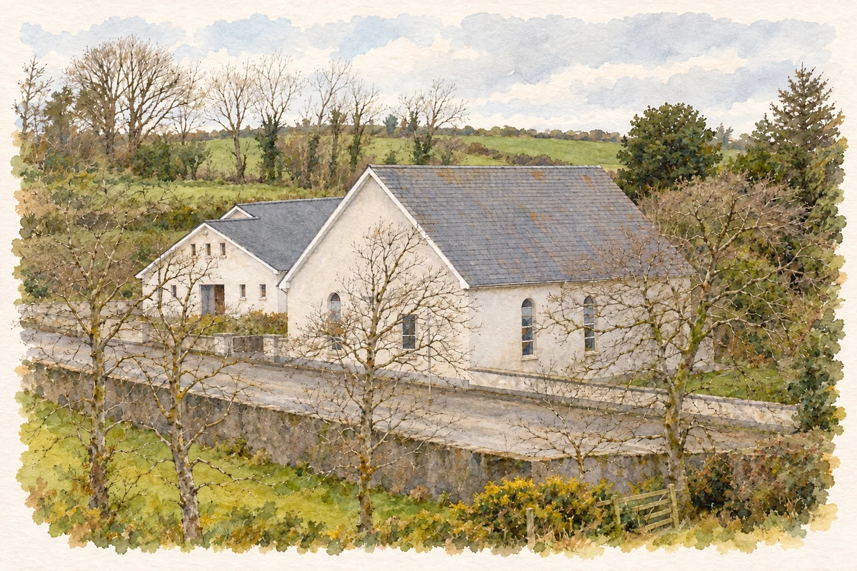
- Ballylane Covenanter Church, near Clady Milltown illustration: based on a Ballylane Covenanter Presbyterian Church by P Flannagan. AI-assisted watercolour and ink adaptation; cream paper margins added, incidental clutter omitted and fine details simplified. Licence: CC BY-SA 2.0.
Name record retrieved 2026-10-25 · Source record modified 2021-12-20. How this page was prepared.