 placenames
Clara
Clárach
The district includes Lyrath and Coolgrange, bringing a nineteenth-century house and a much older hillfort within the same local landscape.
The name
A reliable full-name meaning has not been established here. The recorded Irish and English forms are given without an unsupported translation.
Recorded forms
- Clárach · Irish · main form · validated name
- Clara · English · main form
Place & story
John McCurdy’s house at Lyrath
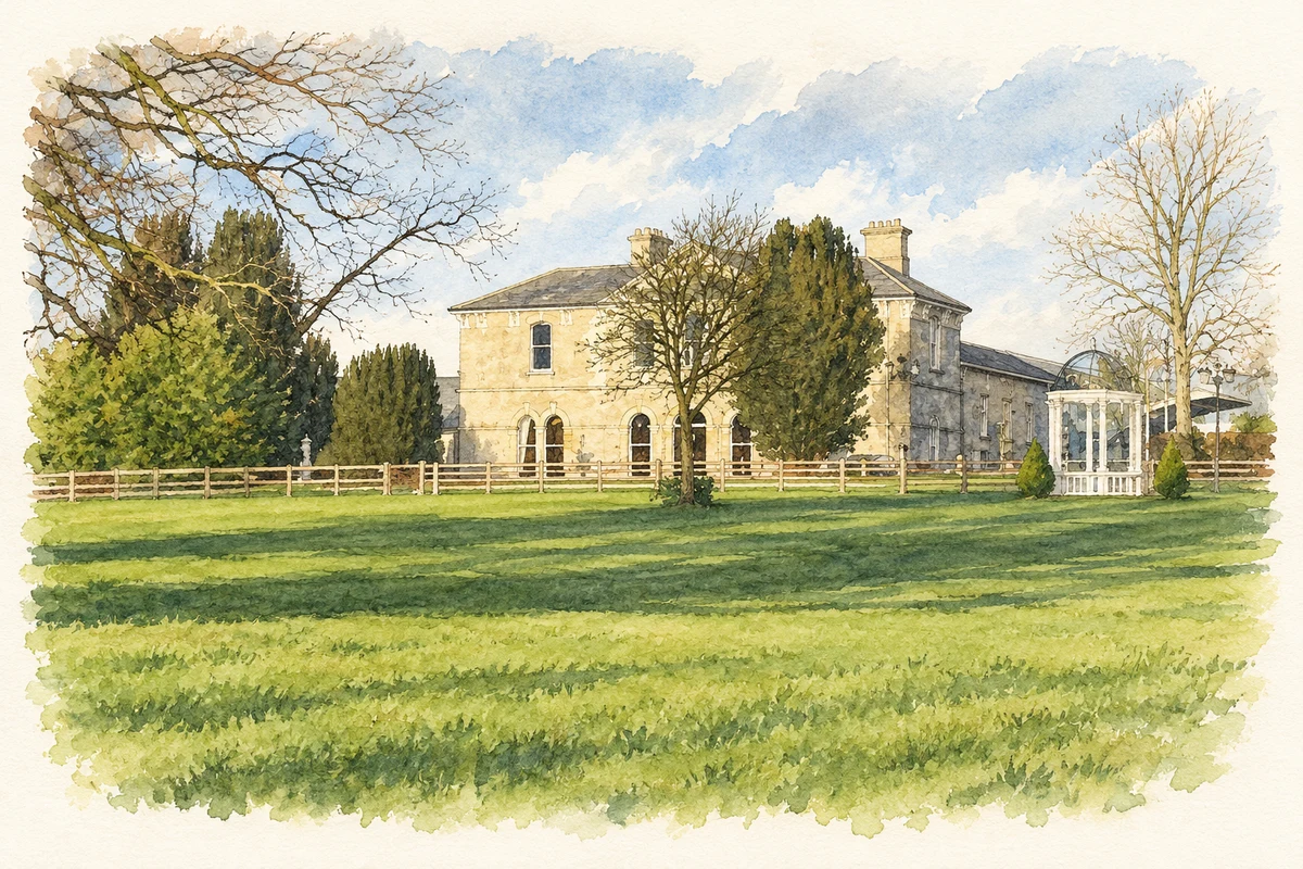
Lyrath House was built in 1863–66 to designs by Dublin architect John McCurdy. A central pedimented projection organises its front, with a Venetian window above the entrance. Inside, the architectural inventory records a columned screen, a cantilevered staircase and decorative plasterwork. The house’s documented connections include Sir Otway and Lady Charlotte Wheeler-Cuffe. This is the Lyrath property within Clara’s district, rather than Clara Castle itself. [2]
Conservation within a new hotel
The later hotel development retained the old house within a much larger scheme. Bluett & O’Donoghue’s project account identifies its own role in construction-phase management and John Maginnes Architects as design architect. It records conservation of Lyrath House as part of a 142-bedroom hotel and conference centre on the estate. That account documents a change of use and scale, while distinguishing the retained country house from the modern accommodation. [3]
Surveying Freestone Hill
At Freestone Hill in Coolgrange, investigation has continued beyond Gerhard Bersu’s mid-twentieth-century excavations. Knut Rassmann and Hans-Ulrich Voß report a geomagnetic survey of the hill and its surroundings in June 2014. It added information about the position and preservation of the hillfort’s defences and activity within and around the enclosure. Their discussion treats possible Roman influences as a research question, rather than identifying the hillfort as a Roman military installation. [4]
Geographic information
Sources & further reading
- Logainm.ie — Clara. Place names and geographic record, licensed under CC BY 4.0.
- Lyrath House:12402005 · National Inventory of Architectural Heritage
- Lyrath Hotel and Conference Centre: project portfolio · Bluett & O’Donoghue Architects
- Freestone Hill: geomagnetic survey,2014; e-Forschungsberichte 2(2015), pp 12–15 · Knut Rassmann and Hans-Ulrich Voß, German Archaeological Institute
- Lyrath House and its later hotel extension, as photographed in February 2009 illustration: based on a Lyrath House Hotel by kevin higgins. AI-assisted watercolour and ink adaptation; cream paper margins added, incidental clutter omitted and fine details simplified. Licence: CC BY-SA 2.0.
Name record retrieved 2026-10-25 · Source record modified 2025-01-10. How this page was prepared.