 placenames
Borris
An Bhuiríos
Clonreher, within Borris electoral division west of Portlaoise, preserves distinct records of a Georgian house and a medieval castle site.
The name
A reliable full-name meaning has not been established here. The recorded Irish and English forms are given without an unsupported translation.
Recorded forms
- An Bhuiríos · Irish · main form · non-validated name
- Borris · English · main form
Place & story
An early Georgian residence
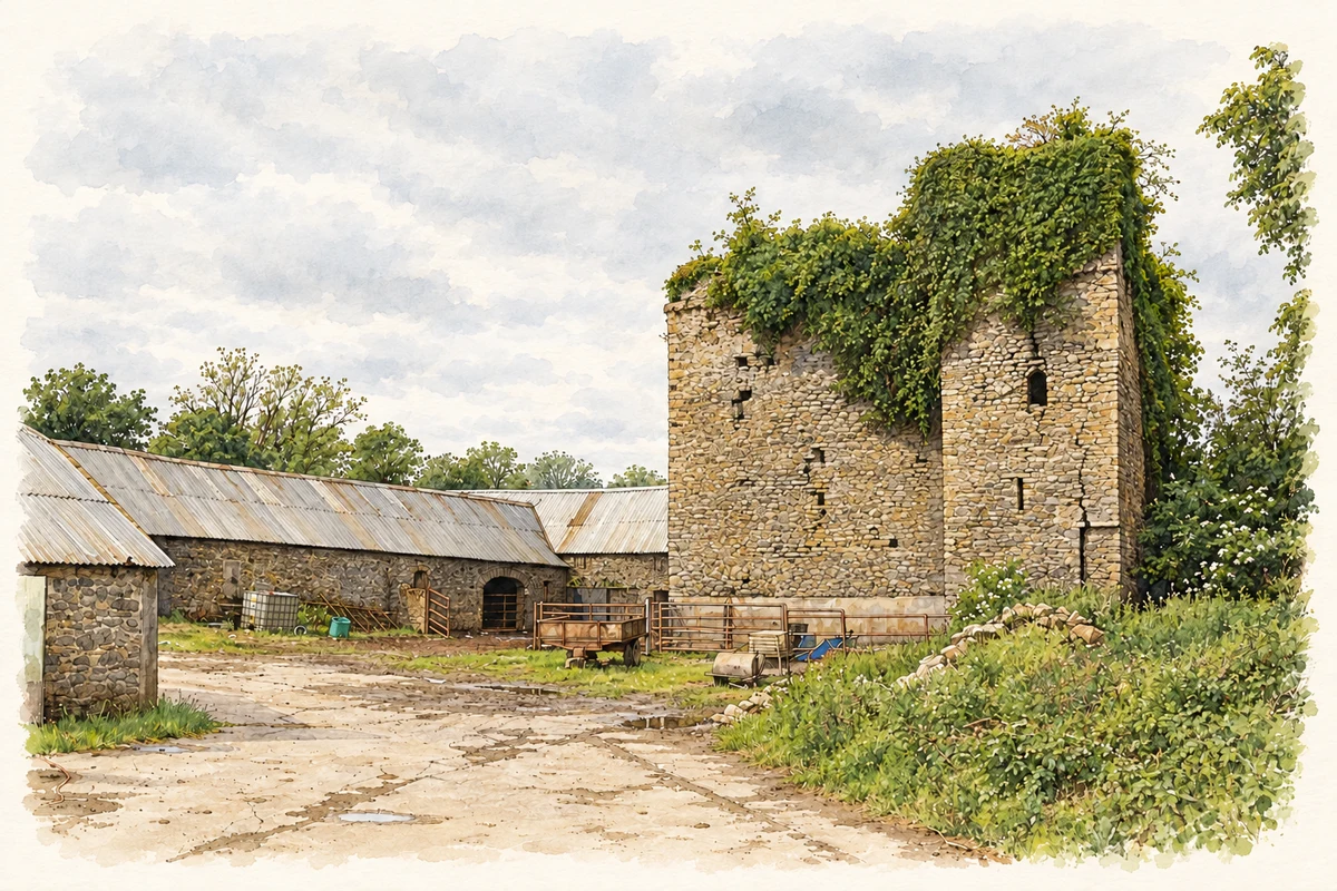
The architectural inventory dates Clonreher House to around 1735. Its five-bay front rises through two main storeys to a dormer attic. The same record identifies a stable complex arranged around a medieval tower house. The residence and the older defensive building therefore form separate elements in the site’s architectural history. [2]
Limited testing beside the castle
On 9 June 2010, Gill McLoughlin investigated two road-verge trenches near Clonreher Castle before water-supply works. Neither contained archaeological material. This was a small intervention beside the recorded monument, not an excavation of the whole castle or house complex. The enclosure found elsewhere in the same project was at Kilminchy, a different site. [3]
Geographic information
Sources & further reading
- Logainm.ie — Borris. Place names and geographic record, licensed under CC BY 4.0.
- Clonreher House, NIAH 12801307 · National Inventory of Architectural Heritage
- 2010:431 Portlaoise–Mountmellick Water Supply Improvement Scheme, Clonreher testing, licence 10E0170 · Gill McLoughlin, Irish Archaeological Consultancy
- Borris electoral division: constituent townlands · Townlands.ie / OpenStreetMap contributors
- Clonreher Castle and its farmyard, County Laois, as photographed in June 2011 illustration: based on a Castles of Leinster: Clonreher, Laois by Mike Searle. AI-assisted watercolour and ink adaptation; cream paper margins added, incidental clutter omitted and fine details simplified. Licence: CC BY-SA 2.0.
Name record retrieved 2026-10-25 · Source record modified 2025-01-10. How this page was prepared.