 placenames
Jenkinstown
Baile Sheinicín
Within the electoral division, Rockmarshall preserves evidence of Mesolithic activity, while Rampark records a different history of building and roof repair.
The name
These Irish name elements are associated with this record in the Logainm glossary.
An element’s translation is a clue, rather than a complete explanation of the name. Its form and meaning depend on local history and the full Irish name.
Recorded forms
- Baile Sheinicín · Irish · main form · validated name
- Jenkinstown · English · main form
Place & story
Revisiting Rockmarshall
Frank Mitchell excavated three shell-bearing sites at Rockmarshall in 1946 and 1948, on a moraine overlooking Dundalk Bay. A 2025 reassessment by Martin Moucheron, Andrew Trafford and Graeme Warren combined archive and stone-tool research with new surveys. They found surviving shell layers and a previously unrecorded shell accumulation, renewing the archaeological potential of sites long familiar to researchers. [2]
Rampark’s two-storey thatch
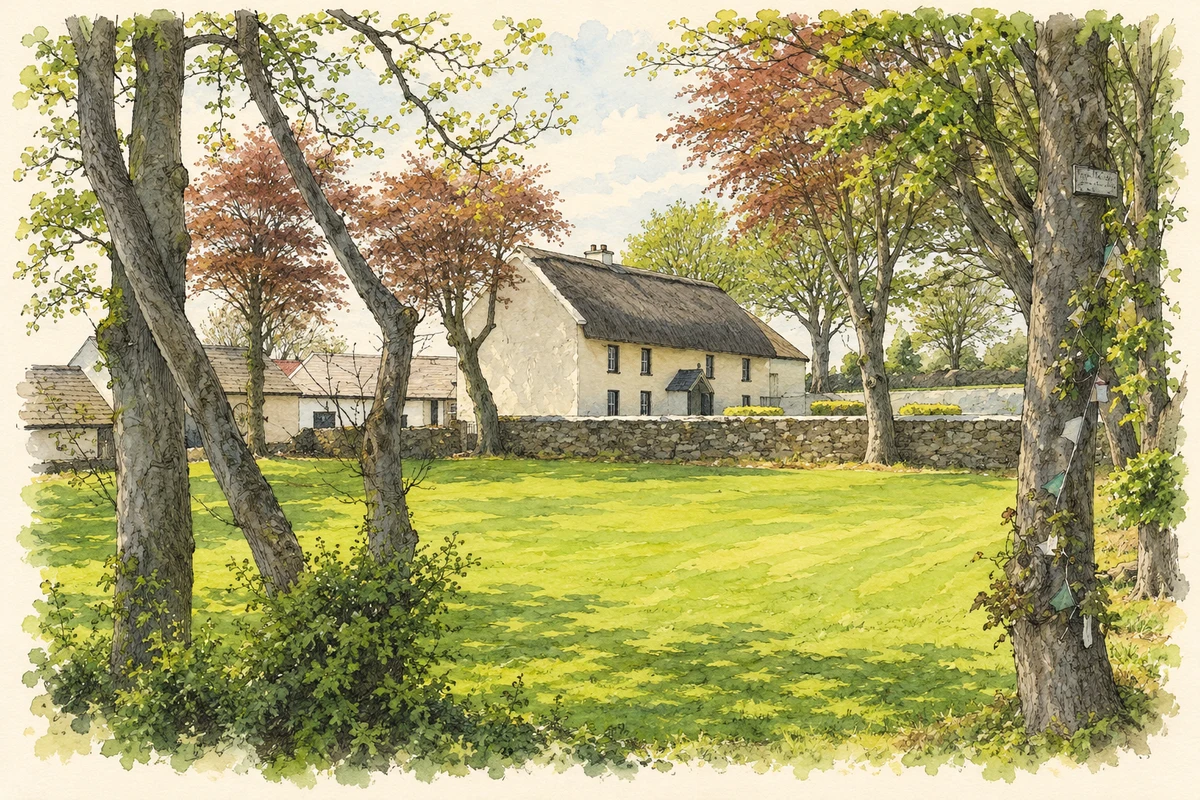
Rampark Farmhouse is a substantial two-storey thatched house dated to about 1750 by the National Inventory of Architectural Heritage. Its five-bay front has a central porch, while extensions project eastwards and behind. The survey records farm buildings on three sides, a garden towards the road and a water pump, preserving the arrangement of a working farmstead. [3]
Renewing the roof
Thatcher Sara Leach documents a later repair funded through the Built Heritage Investment Scheme. Work ran from July to October, though her account gives no year. The existing roof used Polish rye straw; some removed eaves bundles patched holes before new material was laid. Water reed formed the renewed roof covering and ridge, finished with ash fixings. [4]
Geographic information
Sources & further reading
- Logainm.ie — Jenkinstown. Place names and geographic record, licensed under CC BY 4.0.
- Reassessing the Mesolithic shell middens of Rockmarshall: authors’ abstract, 2025 · Martin Moucheron, Andrew Trafford and Graeme Warren
- Rampark Farmhouse, NIAH 13900803 · National Inventory of Architectural Heritage
- Rampark Farmhouse: roof repair account · Sara Leach
- The thatched farmhouse at Rampark near Jenkinstown, County Louth, as photographed in May 2008 illustration: based on a Thatched house at Rampark, Cooley by Kieran Campbell. AI-assisted watercolour and ink adaptation; cream paper margins added, incidental clutter omitted and fine details simplified. Licence: CC BY-SA 2.0.
Name record retrieved 2026-10-25 · Source record modified 2025-01-10. How this page was prepared.