 placenames
Carney
Fearann Uí Chearnaigh
A survey of a house near Carney village records sash windows and decorative ironwork.
The name
These Irish name elements are associated with this record in the Logainm glossary.
An element’s translation is a clue, rather than a complete explanation of the name. Its form and meaning depend on local history and the full Irish name.
Recorded forms
- Fearann Uí Chearnaigh · Irish · main form · non-validated name
- Carney · English · main form
Place & story
An architectural neighbour
In Cullagh More, near Carney village, the National Inventory of Architectural Heritage records a two-storey house built around 1890. Its projecting entrance porch has an iron balustrade above it, while decorative guards protect the upper windows. Timber sash windows, a slate roof and wrought-iron boundary railings complete the recorded composition. [2]
Geographic information
Sources & further reading
- Logainm.ie — Carney. Place names and geographic record, licensed under CC BY 4.0.
- House, Cullagh More, Carney: NIAH 32400824 · National Inventory of Architectural Heritage
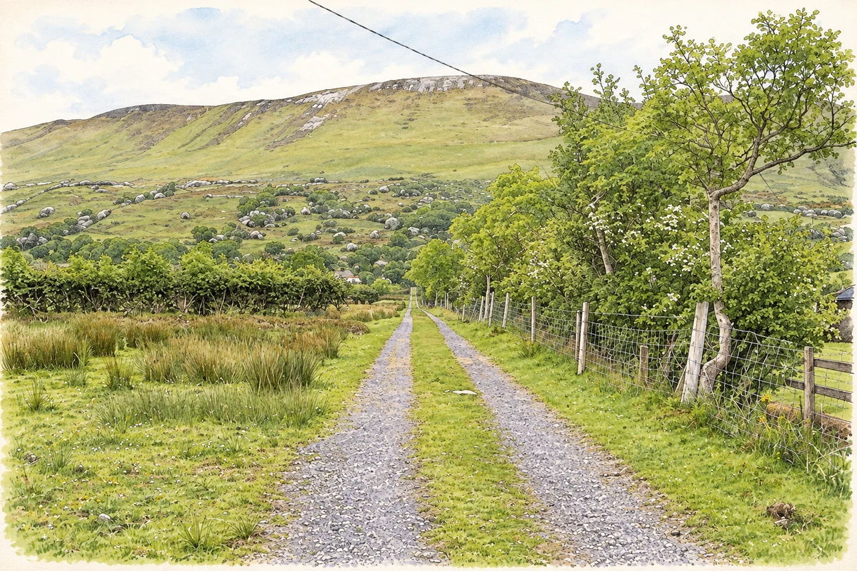
- A grassy track in Ballynagalliagh townland, Carney electoral division, County Sligo illustration: based on a Ballynagalliagh Townland by Kenneth Allen. AI-assisted watercolour and ink adaptation; cream paper margins added, incidental clutter omitted and fine details simplified. Licence: CC BY-SA 2.0.
Name record retrieved 2026-10-25 · Source record modified 2025-01-10. How this page was prepared.