 placenames
Tramore
Trá Mhór
Knockeen’s prehistoric chamber and Tramore’s railway station preserve very different stages of the district’s history.
The name
These Irish name elements are associated with this record in the Logainm glossary.
An element’s translation is a clue, rather than a complete explanation of the name. Its form and meaning depend on local history and the full Irish name.
Recorded forms
- Trá Mhór · Irish · main form · validated name
- Tramore · English · main form
Place & story
The chamber at Knockeen
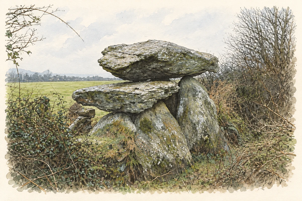
Knockeen, in the northern part of Tramore electoral division, contains a large portal tomb. The Office of Public Works dates it to between 4000 and 3000 BC. Two substantial capstones cover its rectangular chamber, whose entrance is marked by tall upright stones. The monument stands about three and a half metres high and is incorporated into the boundary wall of the church graveyard. [2]
The seaside railway terminus
The station on Turkey Road opened in 1853 as the southern terminus of the Waterford railway. The council describes an H-shaped building with curved gables and a projecting entrance porch. Passenger services ended in 1960. Fire damaged the building around 2002, leaving a conspicuous railway landmark after trains had ceased to serve the town. [3]
Conservation and a proposed new use
In its January 2026 invitation for commercial proposals, Waterford City and County Council recorded completed roofing, structural stabilisation and replacement windows and doors. Further internal work remained necessary. The invitation documents an effort to find a use for the building; it does not establish that a new business subsequently opened. [3] [4]
Geographic information
Sources & further reading
- Logainm.ie — Tramore. Place names and geographic record, licensed under CC BY 4.0.
- Knockeen Portal Dolmen · Office of Public Works, Heritage Ireland
- Tramore Railway Station expressionofinterest background,2026 · Waterford City and County Council
- Commercial opportunity at formerTramore RailwayStation,26January2026 · Waterford City and County Council
- Knockeen portal tomb in Tramore district, County Waterford, as photographed in February 1983 illustration: based on a Dolmen at Knockeen, Co. Waterford by Kieran Campbell. AI-assisted watercolour and ink adaptation; cream paper margins added, incidental clutter omitted and fine details simplified. Licence: CC BY-SA 2.0.
Name record retrieved 2026-10-25 · Source record modified 2025-01-10. How this page was prepared.