 placenames
Belderg
Béal Deirg
At Belderg, also known as Belderrig, archaeology beneath the peat has made a small coastal community a centre for research into people and landscape.
The name
These Irish name elements are associated with this record in the Logainm glossary.
An element’s translation is a clue, rather than a complete explanation of the name. Its form and meaning depend on local history and the full Irish name.
Recorded forms
- Béal Deirg · Irish · main form · validated name
- Belderg · English · main form
- Belderrig · English · main form · local name
Place & story
Fields beneath the bog
Séamus Caulfield’s report on the 1973 excavations at Beldergbeg describes prehistoric cultivation in unusually tangible detail. Plough marks were traced across an area measuring twenty-four by sixteen metres. Several adjoining plots had ridges running in different directions, while another had no ridges. Excavation of a circular building revealed wall trenches, postholes and stone-filled pits, with saddle querns among the finds. The report also distinguished a later phase of activity after peat had begun to cover the earlier landscape. [2]
Evidence beside the shore
A separate investigation at Belderg More examined worked quartz and other stone artefacts beneath peat immediately above the shore. Graeme Warren’s 2004 report records fish bone recovered from the eroding face, alongside evidence suggesting that some Mesolithic material might survive in its original setting. Royal Irish Academy funding supported test pits, geophysical survey and modelling of the buried land surface. Erosion was both revealing the site and damaging it, making investigation a response to an active threat. [3]
A permanent research base
Noel Treacy opened the Belderrig Environmental Research and Study Centre on 21 July 2000. The project joined Mayo VEC, Mayo County Council, the Céide Fields Research Centre and the local community and research foundation. At the opening, Treacy singled out Séamus Caulfield, Martin Downes and Joe Langan for their work. The centre provided a permanent base for archaeological and environmental studies, linking the discoveries under the bog with research into long-term relationships between climate, land and settlement. [4]
Geographic information
- Place type
- Population centre
- County
- Mayo
- Barony
- Tirawley
- Civil parish
- Doonfeeny
- Within
- Belderg More
- Coordinates
- 0.00000, 0.00000
- Logainm ID
- 1390520 ↗
Sources & further reading
- Logainm.ie — Belderg. Place names and geographic record, licensed under CC BY 4.0.
- 1973:059, Beldergbeg · S. Caulfield, Excavations Bulletin
- 2004:1136, Belderrig, Belderg More · Graeme Warren, University College Dublin, Excavations Bulletin
- Minister Treacy Officially Opens Research and Study Centre, 21 July 2000 · Noel Treacy opening speech and event account, hosted by Mayo Ireland
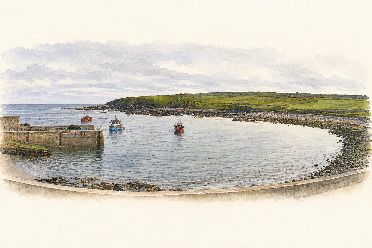
- Belderg Harbour illustration: based on a Belderg Harbour by Francoise Poncelet. AI-assisted watercolour and ink adaptation; cream paper margins added, incidental clutter omitted and fine details simplified. Licence: CC BY-SA 2.0.

Name record retrieved 2026-10-25 · Source record modified 2025-01-10. How this page was prepared.