Richhill's old market economy and Richardson family house explain much of the village's historic form, while its famous iron gates have a separate history.
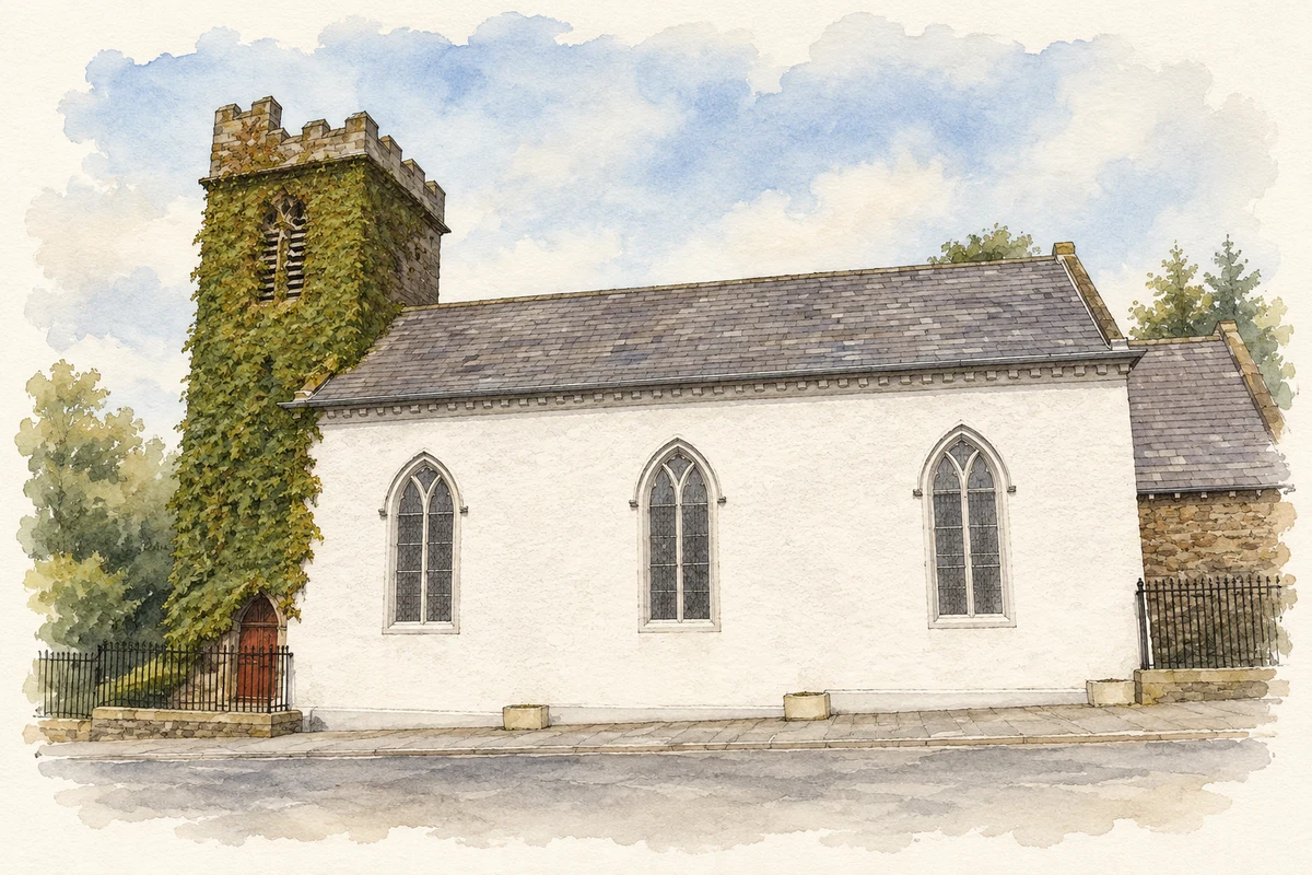
Illustration, Saint Matthew's Church, Richhill, 2011
⊕Recorded locationRich Hill54.37188° N · 6.55343° WInteractive map supplied by OpenStreetMap.
These Irish name elements are associated with this record in the Logainm glossary.
An element’s translation is a clue, rather than a complete explanation of the name. Its form and meaning depend on local history and the full Irish name.
Recorded forms
Log an Choire· Irish · main form · validated name
Rich Hill· English · main form
Place & story
The market bypassed by a new road
Samuel Lewis's 1837 gazetteer describes Richhill as a town of 189 houses on the old Armagh-to-Belfast road. Linen had been the basis of an extensive market, but the construction of a shorter route bypassing the town reduced its trade. A little linen yarn was still sold, and cattle fairs continued. The market house, built by William Richardson in 1753, belonged to that earlier commercial world. Lewis's account captures the effect of a transport change on an existing trading centre rather than a simple story of uninterrupted growth.[2]
The Richardson house above the village
Richhill House, commonly called the Castle, is thought to date from the seventeenth century. Its shaped gables, tall panelled chimneys and projecting wings distinguish it from a medieval tower house. The Richardson family held it for more than two centuries. The Department for Communities' heritage record highlights its importance as an early domestic building whose design was not primarily defensive. Its precise chronology remains debated, including the possibility that parts of an earlier house survive within it; an exact single building date would imply more certainty than the evidence allows.[3][4]
Ironwork removed to Hillsborough
The house's elaborate wrought-iron gates were moved to Hillsborough Castle in 1936. Their removal separated a celebrated piece of craftsmanship from the building for which it had formed an entrance. The Department for Communities records this loss while emphasising that the house retained its architectural significance. A local architectural account also places the property within the earlier Legacorry estate, later associated with Richardson's Hill. The village's built history therefore includes both surviving structures and important objects whose subsequent location must be distinguished from their original setting.[3][4]
Both censuses use the same 2015 settlement boundary. These exact counts cover usual residents in the settlement, rather than local government districts or historic counties. Other NISRA tables may use approximate counts.
View population figures
RICHHILL — Settlement 2015 (N11000089) — census population
These are the town figures printed in the historical census reports, separate from the surrounding rural district and modern settlement. Some historical towns had no fixed boundary; a consistent footprint across years is not assumed.
View population figures
Rich Hill — historical census town — census population
The census used a grid rectangle around the built-up area, rather than today’s settlement boundary. The 1981 figures are as enumerated, without adjustment for non-enumeration. These counts remain separate from later settlement totals.
View population figures
Rich Hill — census rectangle H930470 to H950490 — census population
The published 2001 KS01 settlement count uses an earlier geography and disclosure-control methods. It is not rebased to the 2015 settlement used for 2011 and 2021. The geographic matching file can contain a different 2001 count; the figure shown here comes from KS01.
View population figures
Richhill — KS01 Settlement (2005 geography) — census population
Saint Matthew's Church, Richhill, 2011 illustration: based on a St Matthew's Church of Ireland, Richhill by Kenneth Allen. AI-assisted watercolour and ink adaptation; cream paper margins added, incidental clutter omitted and fine details simplified. Licence: CC BY-SA 2.0.
 placenames