 placenames
Inver
Inbhear
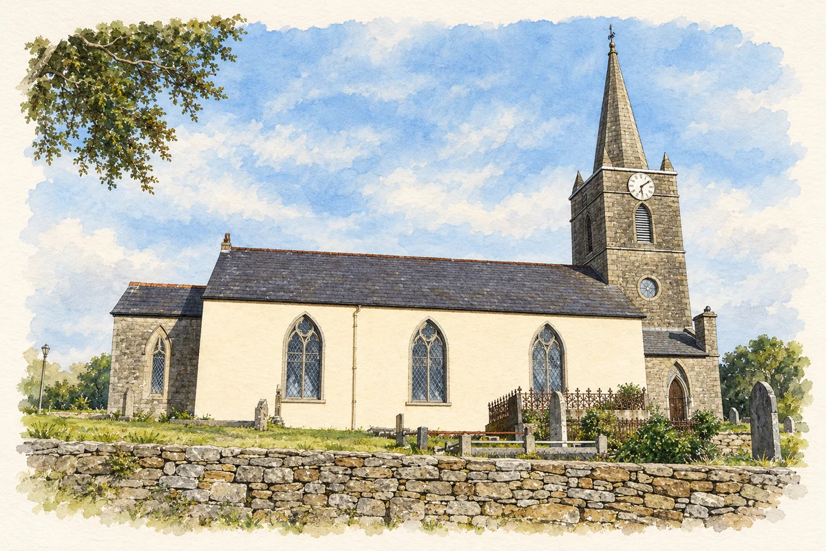
Inver’s old and replacement churches, together with a surviving railway water tower, record changes in worship and transport near the estuary.
The name
A reliable full-name meaning has not been established here. The recorded Irish and English forms are given without an unsupported translation.
Recorded forms
- Inbhear · Irish · main form · validated name
- Inver · English · main form
Place & story
The old church beside the estuary
Inver's ruined old church stands on a bend near the mouth of the Eany Water. The architectural survey dates its construction or substantial alteration to around 1610, while allowing for earlier fabric. A1622 description recorded a thatched roof; slate and a stone eaves cornice followed in the eighteenth century. A1751 memorial with the Hume coat of arms survives among the church and graveyard's later monuments. [2]
A replacement across the river
The Church of Ireland moved to its replacement at Cranny Lower in 1807. Welland and Gillespie designed alterations in 1861–62, including new seating, a pulpit and reading desk. The chancel was added later still, apparently in 1917. The national inventory connects the nineteenth-century improvements with Jemima Stewart of Drumbeg House, a grandniece of rector Alexander Montgomery. This history explains how the present church acquired features from several building campaigns. [3]
Water for steam locomotives
North of Inver, a stone water tower survives from the former railway station. Built around 1893, its metal tank supplied water for steam engines on the Donegal Town–Killybegs narrow-gauge line. Rock-faced sandstone walls, a round-headed window and the tank's remaining nozzle and pulley distinguish its practical purpose. The line opened in August 1893 and closed on 1 January 1960, leaving the tower as evidence of the district's railway infrastructure. [4]
Geographic information
Sources & further reading
- Logainm.ie — Inver. Place names and geographic record, licensed under CC BY 4.0.
- Inver old church: NIAH 40909826 · National Inventory of Architectural Heritage
- Inver Church of Ireland, Cranny Lower: NIAH 40909203 · National Inventory of Architectural Heritage
- Inver railway water tower: NIAH 40909242 · National Inventory of Architectural Heritage
- Inver Church, County Donegal illustration: based on a Inver Church by louise price. AI-assisted watercolour and ink adaptation; cream paper margins added, incidental clutter omitted and fine details simplified. Licence: CC BY-SA 2.0.
Name record retrieved 2026-10-25 · Source record modified 2025-01-10. How this page was prepared.