These Irish name elements are associated with this record in the Logainm glossary.
An element’s translation is a clue, rather than a complete explanation of the name. Its form and meaning depend on local history and the full Irish name.
Recorded forms
Port Chluain Eoghain· Irish · main form · validated name
Portglenone· English · main form
Place & story
Lighters, linen and the eel fishery
Portglenone's position on the Bann made it an important crossing between Antrim and Derry. Lewis's 1837 survey describes a town of 148 houses, arranged mainly along one long street. River lighters brought timber and slates, and a substantial eel fishery operated at the bridge. Linen weaving supported the town and surrounding district, with a monthly linen market and regular livestock fairs. These small industries and trading routines show how closely the settlement's livelihood depended on both the river and its farming hinterland.[2]
People & connections
Charles Lanyon's river bridge
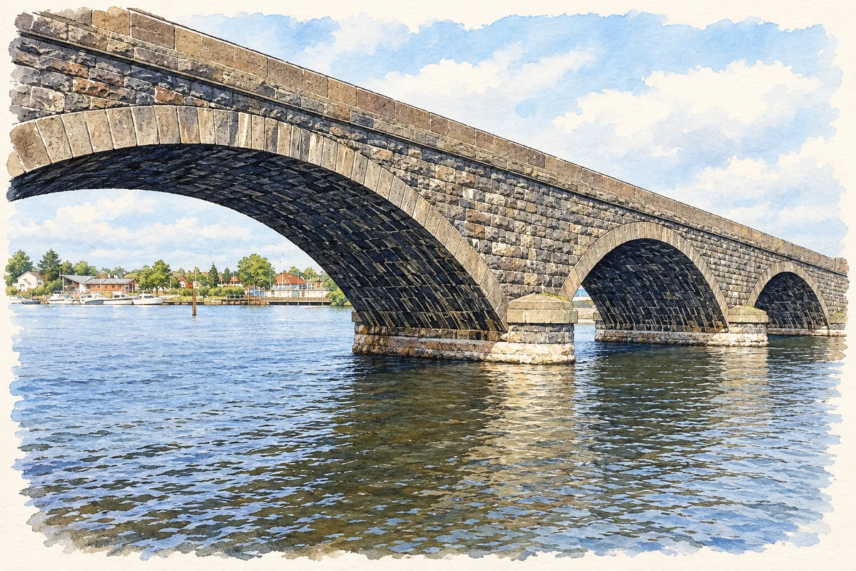
Charles Lanyon designed the present three-arched bridge in 1846–47, replacing a seven-arched predecessor dating from 1824. The local heritage trail records the addition of a swing section in 1853 as part of a Board of Works navigation scheme. Its design therefore served two kinds of movement: road traffic crossing the Bann and boats passing along it. Lanyon, also responsible for major Belfast buildings, brought his engineering and architectural practice to a crossing of long-standing regional importance.[3]
A new Cistercian foundation
Mount Melleray founded the community of Our Lady of Bethlehem at Portglenone in 1948, after the purchase of a Georgian mansion and its surrounding estate. The foundation became an abbey in July 1951. Growing numbers of monks led to the construction of an entirely new monastery in the 1960s, and the new church opened and was blessed in 1967. The community's establishment transformed a former country-house estate into a centre of monastic life, adding a new chapter to the village's religious landscape.[4]
Both censuses use the same 2015 settlement boundary. These exact counts cover usual residents in the settlement, rather than local government districts or historic counties. Other NISRA tables may use approximate counts.
View population figures
PORTGLENONE — Settlement 2015 (N11000107) — census population
These are the town figures printed in the historical census reports, separate from the surrounding rural district and modern settlement. Some historical towns had no fixed boundary; a consistent footprint across years is not assumed.
View population figures
Portglenone — historical census town — census population
The census used a grid rectangle around the built-up area, rather than today’s settlement boundary. The 1981 figures are as enumerated, without adjustment for non-enumeration. These counts remain separate from later settlement totals.
View population figures
Portglenone — census rectangle C970034 to C990050 — census population
The published 2001 KS01 settlement count uses an earlier geography and disclosure-control methods. It is not rebased to the 2015 settlement used for 2011 and 2021. The geographic matching file can contain a different 2001 count; the figure shown here comes from KS01.
View population figures
Portglenone — KS01 Settlement (2005 geography) — census population
 placenames