These Irish name elements are associated with this record in the Logainm glossary.
An element’s translation is a clue, rather than a complete explanation of the name. Its form and meaning depend on local history and the full Irish name.
Recorded forms
Droim Mór· Irish · main form · validated name
Dromore· English · main form
Place & story
The mound in the river bend
Dromore’s Anglo-Norman motte rises about twelve metres above its surrounding ditch in a bend of the Lagan. The river protects one side while earthworks guard the landward approaches. A small bailey occupies the ground to the south. Excavation in 1951 identified a timber palisade as the first summit defence, followed by the low bank still visible. Its commanding view explains the choice of this position within the valley.[2]
The cross used as town furniture
The granite high cross beside the cathedral had a long life beyond its original religious setting. It was used elsewhere in Dromore as a market cross and as the base of the town stocks. An inscription records its re-erection in 1887, when missing parts of the shaft and head were restored. Weathered decorative panels remain visible in the hard stone. The department’s account suggests a possible ninth-century date.[3]
People & connections
Jeremy Taylor’s rebuilding
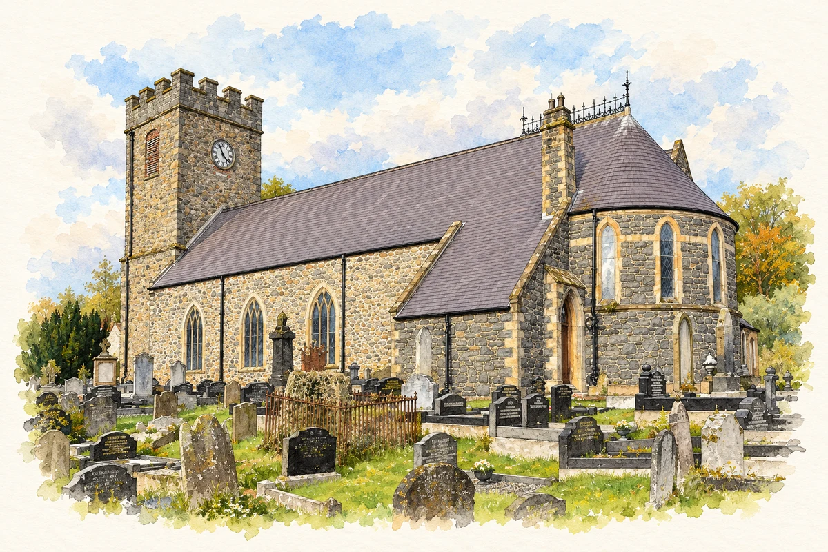
Bishop Jeremy Taylor built a new cathedral in 1661 after destruction during the 1641 rebellion. Portions of that narrow church survive within the present building. Later bishops and congregations expanded it: Thomas Percy added an aisle in 1811, while a sanctuary designed by Thomas Drew commemorated Taylor in 1870. Further work in 1899 completed the rectangular arrangement. The cathedral’s shape records a succession of local building decisions over more than two centuries.[4]
DROMORE (ARMAGH CITY, BANBRIDGE AND CRAIGAVON LGD) — Settlement 2015 (N11000135)
Settlement population, 2011–2021
6,492people · 2021
Both censuses use the same 2015 settlement boundary. These exact counts cover usual residents in the settlement, rather than local government districts or historic counties. Other NISRA tables may use approximate counts.
View population figures
DROMORE (ARMAGH CITY, BANBRIDGE AND CRAIGAVON LGD) — Settlement 2015 (N11000135) — census population
The report states that these figures use the district as constituted in 1926. This is a historical urban administrative area, separate from the modern settlement boundary and usual-resident population.
View population figures
Dromore Urban District — 1926 boundary — census population
The census used a grid rectangle around the built-up area, rather than today’s settlement boundary. The 1981 figures are as enumerated, without adjustment for non-enumeration. These counts remain separate from later settlement totals.
View population figures
Dromore — census rectangle J190520 to J220540 — census population
Cathedral Church of Christ the Redeemer, Dromore, County Down illustration: based on a Dromore (Church of Ireland) Cathedral (1) by Albert Bridge. AI-assisted watercolour and ink adaptation; cream paper margins added, incidental clutter omitted and fine details simplified. Licence: CC BY-SA 2.0.
 placenames