 placenames
Moira
Maigh Rath
Moira's main street reflects the ambitions of the Rawdon family. Archaeology in the neighbouring demesne is recovering material traces of the house and older activity beneath the park.
The name
These Irish name elements are associated with this record in the Logainm glossary.
An element’s translation is a clue, rather than a complete explanation of the name. Its form and meaning depend on local history and the full Irish name.
Recorded forms
- Maigh Rath · Irish · main form · validated name
- Moira · English · main form
Place & story
The Rawdons’ main street
The Rawdon family laid out Moira's Main Street and were responsible for its principal buildings between about 1720 and 1760. The council's conservation-area account emphasises the resulting street pattern, plot widths and near-continuous building frontage. Its designation in 1983 recognised a townscape whose character depends on groups of buildings as well as individual landmarks. The broad street remains the commercial centre of Moira, carrying an eighteenth-century plan into a much larger modern settlement. [2]
Linen work at home
Local historian David McFarland describes how Sir John Rawdon encouraged linen production in eighteenth-century Moira. Weaving supplemented the incomes of small farmers, labourers and cottiers, with raw material supplied to households and payment made for finished cloth. A monthly linen market supported this trade. Later mechanisation shifted the balance towards factory production, undermining an important source of household earnings. The village's neat planned appearance thus belongs alongside the less visible labour carried out in its homes. [3]
Finding the castle beneath the demesne
In June 2025 a community excavation in Moira Demesne uncovered substantial foundations, walls and cobbled surfaces associated with the former castle. Queen's University archaeologists worked with Lisburn Museum, schoolchildren and volunteers. Finds included bottles, pottery, coins and Neolithic flint flakes. The excavators interpreted imported pottery as evidence of the household's wider trading connections. The discoveries distinguish the lost seventeenth- or eighteenth-century building from much earlier activity on the site, revealing several periods beneath what is now public parkland. [4]
Geographic information
- Place type
- Town
- County
- Down
- Barony
- Iveagh Lower, Upper Half
- Coordinates
- 54.47534, -6.22577 (approximate)
- Logainm ID
- 1411612 ↗
Sources & further reading
- Logainm.ie — Moira. Place names and geographic record, licensed under CC BY 4.0.
- Conservation areas: Moira · Lisburn and Castlereagh City Council
- Village Life · David McFarland, History of Moira
- Artefacts uncovered in archaeology dig at Moira Demesne, 13 June 2025 · Lisburn and Castlereagh City Council
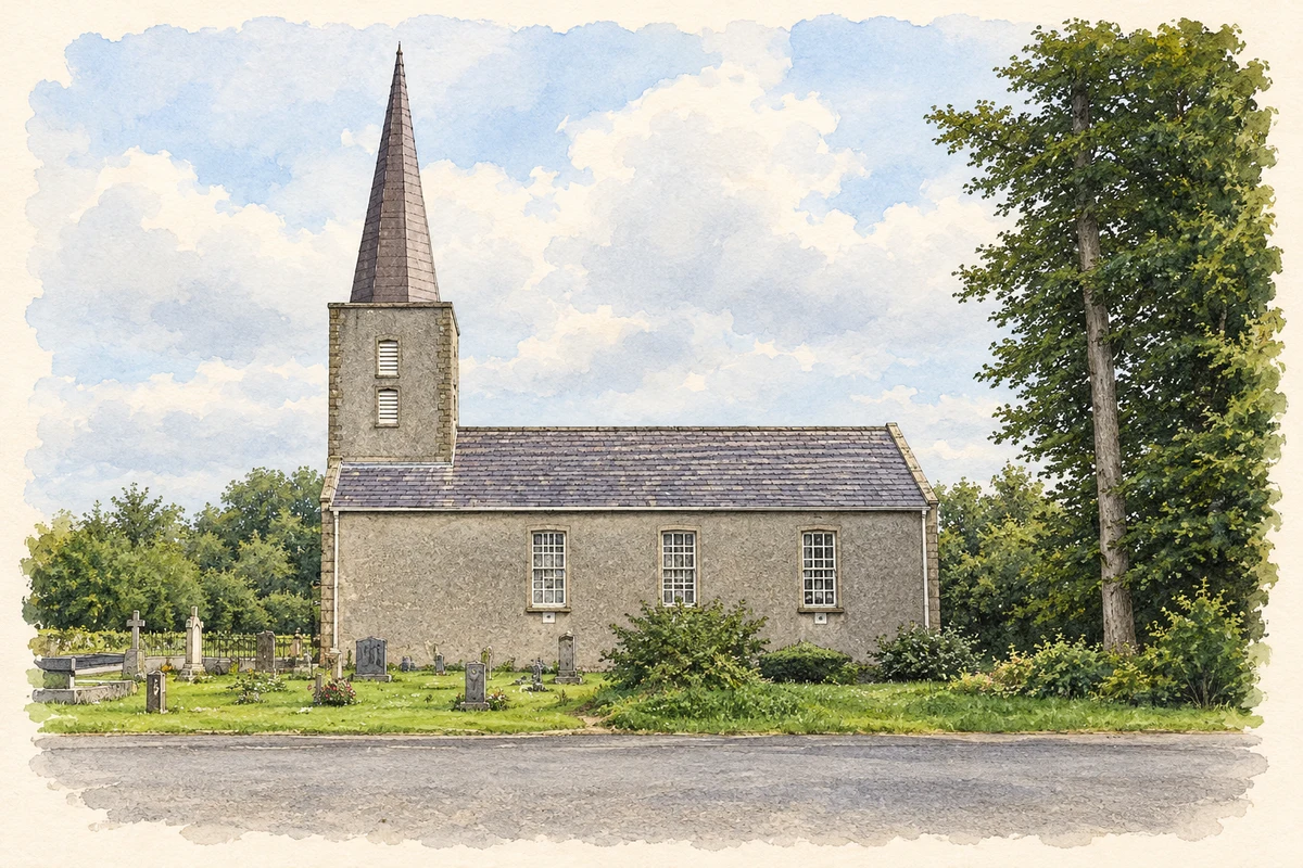
- St John's Parish Church, Moira illustration: based on a St John's Parish Church Moira Co Down by Brian Shaw. AI-assisted watercolour and ink adaptation; cream paper margins added, incidental clutter omitted and fine details simplified. Licence: CC BY-SA 2.0; adapted illustration distributed under the same licence.
Name record retrieved 2026-10-25 · Source record modified 2019-10-08. How this page was prepared.