These Irish name elements are associated with this record in the Logainm glossary.
An element’s translation is a clue, rather than a complete explanation of the name. Its form and meaning depend on local history and the full Irish name.
Recorded forms
Tamhnaigh Naomh· Irish · main form · validated name
Saintfield· English · main form
Place & story
The ambush on the Comber road
On 9 June 1798, United Irishmen occupied Saintfield after the garrison withdrew. Rebels then ambushed troops approaching under Colonel Stapylton. Down County Museum preserves a letter by Ensign Michael J. Sparkes describing musketeers behind roadside hedges and pikemen hidden in nearby ground. Fighting inflicted heavy losses on both sides, and the government force withdrew towards Comber. The museum also records the rebels' killing of the loyalist McKee family before the battle. These accounts show the local violence surrounding a short-lived rebel success, followed by defeat at Ballynahinch four days later.[2]
York Island and the memorial garden
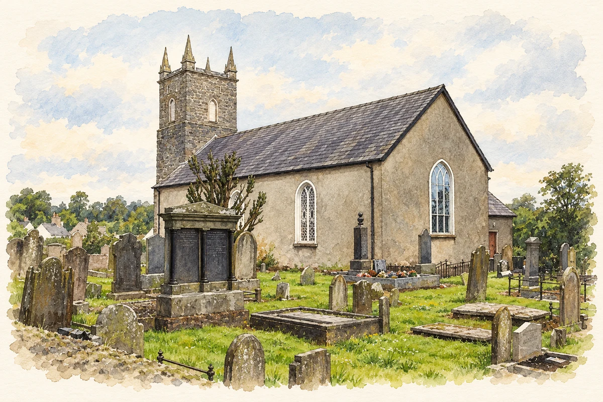
The dead of both sides were buried on an island beside First Saintfield Presbyterian Church's graveyard. Known as York Island after the York Fencibles, the ground became part of the graveyard when the river's course changed. The church and local regeneration committee later developed a memorial garden there, with paths, benches and historical panels prepared with Saintfield Heritage Society. It opened in 2010. The project deliberately commemorates people killed on both sides, retaining the burial place as part of the town's account of 1798.[3]
People & connections
John Moore and the making of Rowallane
The Reverend John Moore began shaping Rowallane's gardens around 1860 and continued until his death in 1888. Garden historian Terence Reeves-Smyth argues that this earlier landscape provided the framework for the better-known twentieth-century plant collections of Moore's nephew, Hugh Armytage-Moore. Moore's picturesque approach anticipated ideas later associated with the wild garden. The historian also notes the limitations of the surviving evidence: few records of Moore's gardening work are known. Rowallane therefore reflects both a celebrated later plantsman and the less fully documented work of his predecessor.[4]
Both censuses use the same 2015 settlement boundary. These exact counts cover usual residents in the settlement, rather than local government districts or historic counties. Other NISRA tables may use approximate counts.
View population figures
SAINTFIELD — Settlement 2015 (N11000290) — census population
These are the town figures printed in the historical census reports, separate from the surrounding rural district and modern settlement. Some historical towns had no fixed boundary; a consistent footprint across years is not assumed.
View population figures
Saintfield — historical census town — census population
The census used a grid rectangle around the built-up area, rather than today’s settlement boundary. The 1981 figures are as enumerated, without adjustment for non-enumeration. These counts remain separate from later settlement totals.
View population figures
Saintfield — census rectangle J398580 to J414600 — census population
The published 2001 KS01 settlement count uses an earlier geography and disclosure-control methods. It is not rebased to the 2015 settlement used for 2011 and 2021. The geographic matching file can contain a different 2001 count; the figure shown here comes from KS01.
View population figures
Saintfield — KS01 Settlement (2005 geography) — census population
 placenames