These Irish name elements are associated with this record in the Logainm glossary.
An element’s translation is a clue, rather than a complete explanation of the name. Its form and meaning depend on local history and the full Irish name.
Recorded forms
Dún Geimhin· Irish · main form · validated name
Baile an Mhullaigh· Irish · main form · local name
Dungiven· English · main form · validated name
Place & story
People & connections
Cooey-na-Gall's carved memorial
Dungiven's twelfth-century Augustinian priory replaced an earlier church. The O'Cahan family became closely associated with the site, apparently building a castle there by the later Middle Ages. In the chancel stands the fifteenth-century tomb of Cooey-na-Gall O'Cahan, who died in 1385. Its carved gallowglasses depict Scottish mercenary soldiers. The Department for Communities suggests that a craftsman from western Scotland may have made the tomb, a striking material connection across the North Channel.[2]
A house beneath the ground
Sir Edward Doddington remodelled the site in the seventeenth century for a substantial house and bawn. Their foundations emerged in archaeological excavations in 1982, although the house no longer stands above ground. The priory therefore holds evidence of domestic occupation as well as medieval worship and commemoration.[2]
Market days and household weaving
Samuel Lewis's 1837 description places Dungiven in a fertile valley near the meeting of the Roe, Owenreagh and Owenbeg. One long street and two shorter streets formed the town beside its stone bridge. Four former bleach greens were then idle, but weaving continued in people's houses. Tuesday markets, grain stores and monthly fairs drew trade into town; the manor court heard claims for small debts from a much wider district.[3]
Folklore & tradition
Gatherings at the river stone
Lewis also recorded Tubber-Phadrig, a fountain beside the Roe bearing St Patrick's name. Nearby, people assembled on particular days around a solitary stone in the riverbed. His brief notice preserves a local practice associated with a specific riverside place, though it does not describe the ceremonies or give the gathering dates.[3]
Both censuses use the same 2015 settlement boundary. These exact counts cover usual residents in the settlement, rather than local government districts or historic counties. Other NISRA tables may use approximate counts.
View population figures
DUNGIVEN — Settlement 2015 (N11000403) — census population
These are the town figures printed in the historical census reports, separate from the surrounding rural district and modern settlement. Some historical towns had no fixed boundary; a consistent footprint across years is not assumed.
View population figures
Dungiven — historical census town — census population
The census used a grid rectangle around the built-up area, rather than today’s settlement boundary. The 1981 figures are as enumerated, without adjustment for non-enumeration. These counts remain separate from later settlement totals.
View population figures
Dungiven — census rectangle C680080 to C700100 — census population
The published 2001 KS01 settlement count uses an earlier geography and disclosure-control methods. It is not rebased to the 2015 settlement used for 2011 and 2021. The geographic matching file can contain a different 2001 count; the figure shown here comes from KS01.
View population figures
Dungiven — KS01 Settlement (2005 geography) — census population
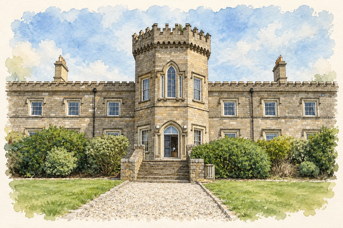
Dungiven Castle central entrance illustration: based on a Dungiven Castle - Centre by bixentro. AI-assisted watercolour and ink adaptation; cream paper margins added, incidental clutter omitted and fine details simplified. Licence: CC BY 2.0.
 placenames