These Irish name elements are associated with this record in the Logainm glossary.
An element’s translation is a clue, rather than a complete explanation of the name. Its form and meaning depend on local history and the full Irish name.
Recorded forms
Machaire Fíolta· Irish · main form · validated name
Magherafelt· English · main form
Place & story
The square and the linen trade
Lewis’s 1837 portrait places a basalt-built market house in a spacious square, with four main streets opening from its corners. Markets followed a busy weekly rhythm: provisions on Thursday, grain on other days, and linen and yarn on alternate Thursdays. The Walker firm employed more than a thousand people weaving at home and nearly a hundred preparing yarn and warps on its premises. The town’s manufacture therefore extended into domestic workplaces across the district.[2]
People & connections
Hugh Rainey’s educational legacy
Hugh Rainey endowed a free school, providing a building in 1710 and money for its support. Lewis describes an institution that clothed, boarded and educated fourteen boys for three years before placing them as apprentices with a premium. Education and entry into a trade were joined in the scheme. Other local schools taught hundreds more children, while a female work school received support from the Marchioness of Londonderry and Lady Bateson.[2]
Beneath the new library
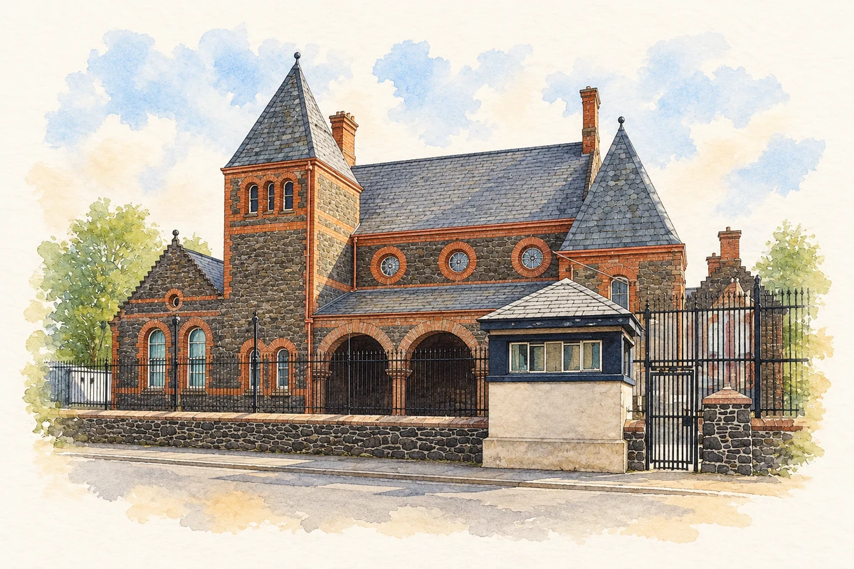
Archaeological monitoring in 2000 accompanied the construction of library and theatre facilities integrated with the old Bridewell jail. The report dates the courthouse to 1804 and the Bridewell to 1839, on the site of an earlier linen hall. Excavators found courthouse foundations and traces of a small building that may have belonged to the early Plantation settlement. Pottery and animal bone accompanied the remains. The Bridewell now houses Magherafelt Library, continuing the site’s public life in a different form.[3][4]
Both censuses use the same 2015 settlement boundary. These exact counts cover usual residents in the settlement, rather than local government districts or historic counties. Other NISRA tables may use approximate counts.
View population figures
MAGHERAFELT — Settlement 2015 (N11000478) — census population
These are the town figures printed in the historical census reports, separate from the surrounding rural district and modern settlement. Some historical towns had no fixed boundary; a consistent footprint across years is not assumed.
View population figures
Magherafelt — historical census town — census population
The census used a grid rectangle around the built-up area, rather than today’s settlement boundary. The 1981 figures are as enumerated, without adjustment for non-enumeration. These counts remain separate from later settlement totals.
View population figures
Magherafelt — census rectangle H880890 to H910920 — census population
The published 2001 KS01 settlement count uses an earlier geography and disclosure-control methods. It is not rebased to the 2015 settlement used for 2011 and 2021. The geographic matching file can contain a different 2001 count; the figure shown here comes from KS01.
View population figures
Magherafelt — KS01 Settlement (2005 geography) — census population
Magherafelt Courthouse, County Derry illustration: based on a Magherafelt Courthouse by Kenneth Allen. AI-assisted watercolour and ink adaptation; cream paper margins added, incidental clutter omitted and fine details simplified. Licence: CC BY-SA 2.0.
 placenames