These Irish name elements are associated with this record in the Logainm glossary.
An element’s translation is a clue, rather than a complete explanation of the name. Its form and meaning depend on local history and the full Irish name.
Recorded forms
Mainistir na Féile· Irish · main form · validated name
Abbeyfeale· English · main form
Place & story
A village and a monastic site
Lewis’s 1837 entry locates Abbeyfeale on the Limerick–Tralee mail-coach road and associates its earlier history with a Cistercian abbey. He records that the Catholic chapel occupied the old monastic site and incorporated a small part of its fabric.[2]
Roads that changed access
The directory places unusual emphasis on recent road building. It describes easier journeys to market and names bridges to the east and west of the village. A road from Abbeyfeale towards Glin had opened in 1836, shortly before publication. These details give transport a central place in the town’s story: access affected the sale of farm produce and the relationship between the village and its surrounding uplands.[2]
Farms, fuel and the Feale
Lewis records dairying, butter sent to Cork and Limerick, and turf carried towards Newcastle, with limestone brought back. He also describes Purt Castle beside the river as a fortified control of a crossing. The village population was only part of a substantially larger parish population.[2]
People & connections
William Casey and the land campaign
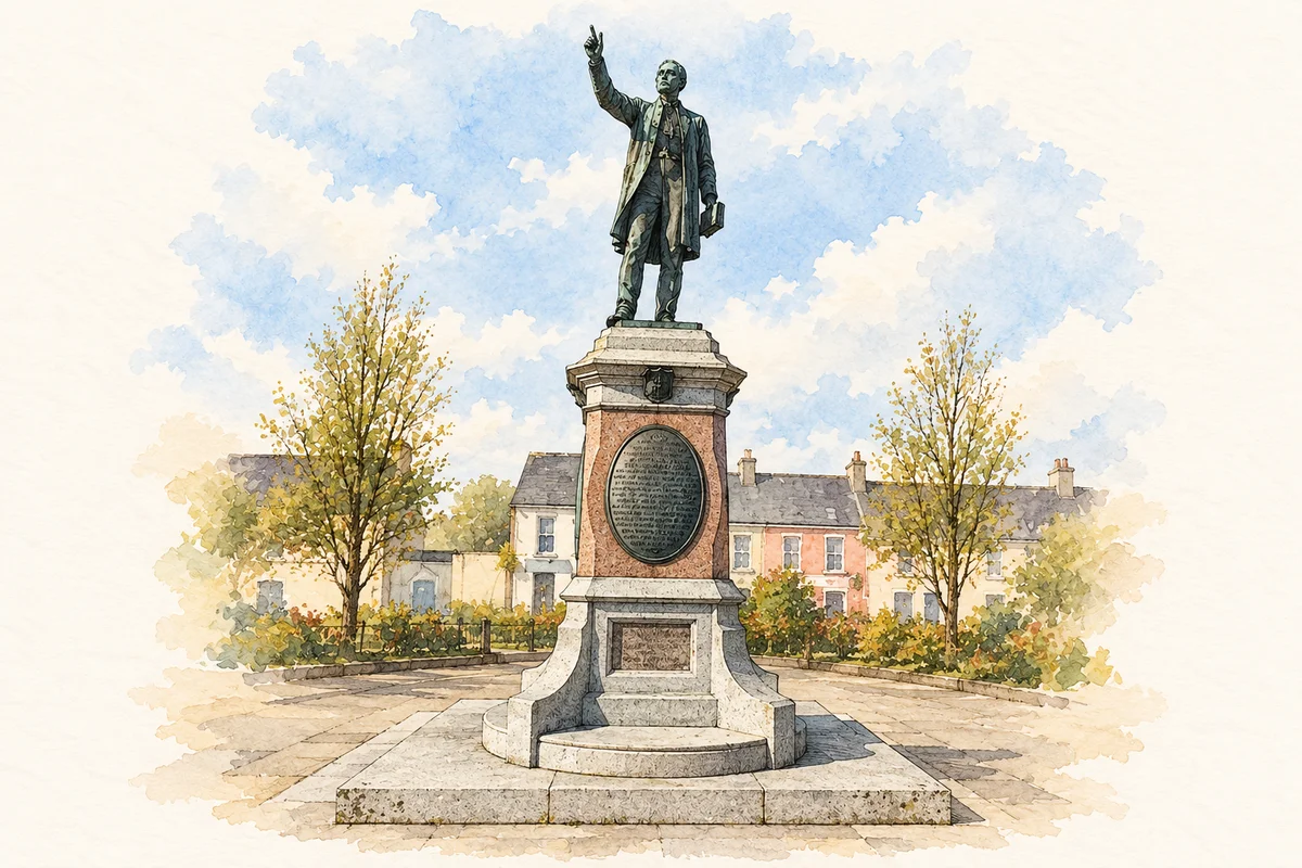
The priest William Casey was associated with Abbeyfeale from 1871 until his death in 1907. The council’s historical account connects him directly with the campaign for tenant farmers’ rights and the formation of a local Land League branch. His public role helps explain why a clerical figure occupies such a prominent position in the town’s civic memory.[3]
A public monument and a railway
Casey’s bronze statue was erected in Market Square in 1910 and was designed by the Dublin sculptor Edmund Sharp. Another major change came in 1880, when the Limerick–Tralee railway opened through Abbeyfeale. Read together with the earlier coach roads, it gives the town a sequence of transport connections extending beyond the nineteenth-century directory’s snapshot. The square, railway and surrounding farms belong to different but connected parts of its history.[3][4]
Both counts use the 2016 settlement boundary, allowing like-for-like comparison. CSO supplies the 2022 count on this older boundary for comparison only. The official 2022 Built Up Area has different boundaries.
View population figures
Abbeyfeale — Census 2016 settlement footprint — census population
Abbeyfeale, Limerick — Census town, CSO 2006 report
2002–2006: census town
1,940people · 2006
These are the historical areas published in the 2006 census report. Boundaries may differ between censuses and from modern settlements. Legal towns, environs and suburbs are shown separately; none has been combined into a modern settlement total.
View population figures
Abbeyfeale, Limerick — Census town, CSO 2006 report — census population
Abbeyfeale, Limerick — Census town, CSO 1996 report
1991–1996: census town
1,486people · 1996
These are the historical areas published in the 1996 census report. Boundaries may differ between censuses and from modern settlements. Legal towns, environs and suburbs are shown separately; none has been combined into a modern settlement total.
View population figures
Abbeyfeale, Limerick — Census town, CSO 1996 report — census population
Abbeyfeale, Limerick — Census town, CSO 1986 report
1981–1986: census town
1,483people · 1986
Figures cover the historical town area printed in the 1986 report. Boundaries may have changed between censuses. Legal town, environs and suburb totals remain separate and differ from modern settlement boundaries.
View population figures
Abbeyfeale, Limerick — Census town, CSO 1986 report — census population
These figures use different area definitions. Read the boundary note before comparing them.
Abbeyfeale, Limerick
Published census settlement populations
2,023people · 2016
Settlement boundaries changed during this period. Differences may reflect boundary changes as well as population change. Where a 2011 legal-town-and-environs count is shown, it has not been recalculated onto the 2016 settlement boundary.
Father William Casey Monument illustration: based on a reference photograph by Mucklagh. AI-assisted watercolour/ink adaptation; clutter removed, paper margins added and fine details simplified. Licence: CC BY-SA 4.0.
 placenames