These Irish name elements are associated with this record in the Logainm glossary.
An element’s translation is a clue, rather than a complete explanation of the name. Its form and meaning depend on local history and the full Irish name.
Recorded forms
Dún Dealgan· Irish · main form · validated name
Dundalk· English · main form
Place & story
A town on a frontier
Lewis places Dundalk on the Belfast mail road, south of Newry, and describes it as port, borough and market town. His 1837 historical account repeatedly returns to its exposed position near the northern limit of the Pale. Grants for walls and customs were responses to that position. The town’s defences make better sense when read with the roads and surrounding territory than when treated as isolated architectural features.[2]
Religious houses and royal claims
The directory records foundations associated with the de Verdon family and recalls Edward Bruce’s occupation of the town and claim to kingship. It later describes encounters with the O’Neills and proposals to treat Dundalk as a frontier. These episodes show a place repeatedly involved in the politics of a wider region. The compressed early chronology requires checking against specialist histories before precise dates or troop numbers are repeated as established fact.[2]
People & connections
An Arctic explorer from Seatown Place
Francis Leopold McClintock was born at 1 Seatown Place, Dundalk, on 8 July 1819. His father was the town's collector of customs, and McClintock attended the Reverend John Darley's school before joining the Royal Navy in 1831. His later career took him into very different waters: he became an expert in Arctic travel, particularly the demanding business of moving men and supplies by sledge.[3]
Evidence from the Franklin search
McClintock commanded the Fox expedition that returned in 1859 with evidence concerning the fate of Sir John Franklin's missing Arctic party. His fellow officer William Hobson found a written message in a cairn on King William Island; bodies and abandoned equipment provided further evidence. McClintock's published account brought the expedition international attention, and Dundalk's corporation presented him with an illuminated address. His legacy also includes natural-history specimens and Inuit material donated to Irish collections. The story links the local customs-house world with exploration, museums and the difficult interpretation of physical evidence.[3]
Both counts use the 2016 settlement boundary, allowing like-for-like comparison. CSO supplies the 2022 count on this older boundary for comparison only. The official 2022 Built Up Area has different boundaries.
View population figures
Dundalk — Census 2016 settlement footprint — census population
These figures use different area definitions. Read the boundary note before comparing them.
Dundalk, Louth — 2011 legal town and environs; 2016 census settlement
Published census settlement populations
39,004people · 2016
Settlement boundaries changed during this period. Differences may reflect boundary changes as well as population change. Where a 2011 legal-town-and-environs count is shown, it has not been recalculated onto the 2016 settlement boundary.
View population figures
Dundalk, Louth — 2011 legal town and environs; 2016 census settlement — census population
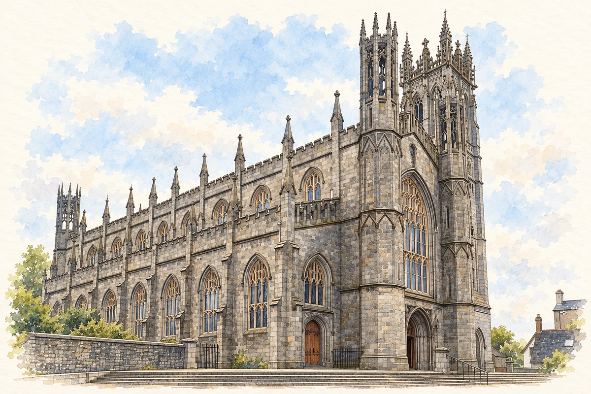
St Patrick’s Church illustration: based on a reference by Andreas F. Borchert. AI-assisted watercolour and ink adaptation; warm cream paper margins; incidental modern clutter removed and fine details simplified. Licence: CC BY-SA 4.0.
 placenames