These Irish name elements are associated with this record in the Logainm glossary.
An element’s translation is a clue, rather than a complete explanation of the name. Its form and meaning depend on local history and the full Irish name.
Recorded forms
Loch gCaol· Irish · main form · validated name
Loughguile· English · main form
Place & story
Church and school in the early village
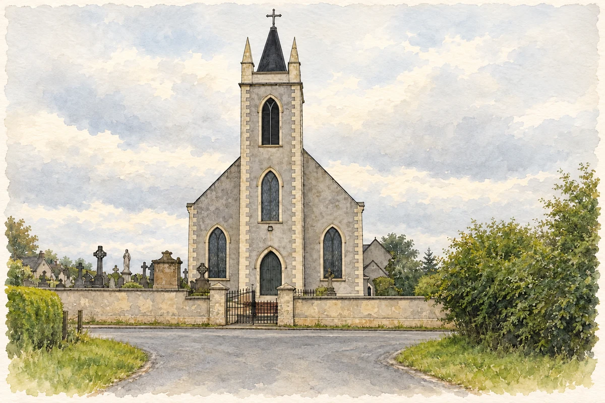
MacLean dates Saint Patrick’s church to 26 May 1839 and the neighbouring national school, with its outside staircase, to 1841.[2]
The beginnings of organised hurling
The Shamrocks club history credits James and John McAleese of Tully, assisted by Dan Dempsey, with organising hurling locally in 1904. By 1907, two parish teams, Tír na nÓg and Dalriada, entered North Antrim competitions. The present Shamrocks club emerged around 1915, with Eddie Connolly among its founders and Johnny McIntyre as its first secretary. Early players moved between borrowed fields for practice and matches.[3]
A permanent home at Father Healy Park
The club began a determined search for a permanent pitch in 1952. A small farm was purchased and exchanged for two fields, which required substantial levelling before they could serve as a ground. Father Healy Park officially opened on 22 May 1955. It commemorated Father John Healy, a former parish priest and supporter of the club who had been born close to the new park.[4]
Folklore & tradition
The story attached to the Pagan Man
MacLean records a Tully stone called the Pagan Man, with a local legend that Saint Patrick cast it down.[2]
Both censuses use the same 2015 settlement boundary. These exact counts cover usual residents in the settlement, rather than local government districts or historic counties. Other NISRA tables may use approximate counts.
View population figures
LOUGHGUILE — Settlement 2015 (N11000121) — census population
St Patrick's Catholic Church, Loughguile, County Antrim illustration: based on a St.Patricks Catholic Church , Loughguile by Willie Duffin. AI-assisted watercolour and ink adaptation; cream paper margins added, incidental clutter omitted and fine details simplified. Licence: CC BY-SA 2.0.
 placenames