 placenames
Inishcarra
Inis Cara
Inishcarra’s older church landscape stands beside a major twentieth-century transformation of the River Lee for hydroelectric power.
The name
These Irish name elements are associated with this record in the Logainm glossary.
An element’s translation is a clue, rather than a complete explanation of the name. Its form and meaning depend on local history and the full Irish name.
Recorded forms
- Inis Cara · Irish · main form · validated name
- Inishcarra · English · main form
- Inniscarra · English · main form · local name
Place & story
Saint Senan’s above the road
Saint Senan’s Church occupies a hill at Canon’s Cross. The Church of Ireland building dates from 1819 and was financed with help from the Board of First Fruits. Its west tower has limestone pinnacles and a crenellated parapet, while pointed windows and decorative timber tracery shape the nave. A chancel was added in 1893. The architectural inventory records that the church replaced an earlier Church of Ireland building nearby. [2]
Harnessing the Lee
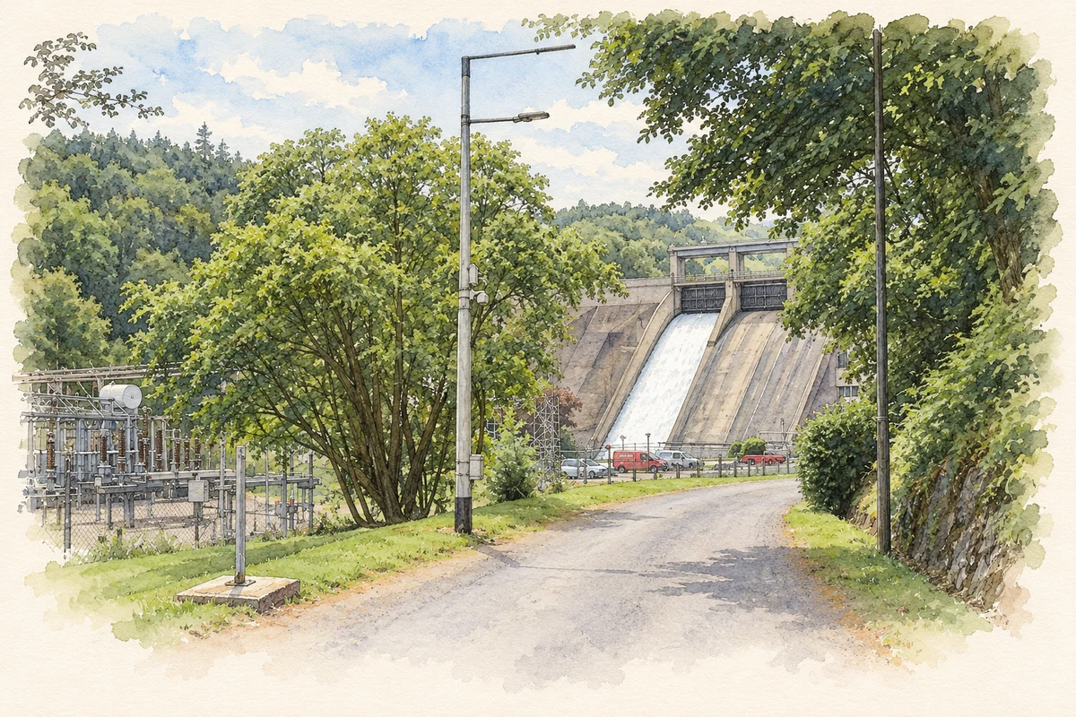
Inishcarra became one of two generating sites in the Lee hydroelectric scheme, built between 1952 and 1957. Together with Carrigadrohid upstream, the project created two reservoirs and became ESB’s fourth major hydroelectric development. Inishcarra’s two generating units have capacities of fifteen and four megawatts, using water falling through an average head of thirty metres. The combined twenty-seven-megawatt figure for the Lee scheme includes Carrigadrohid’s separate eight-megawatt unit. [3]
The consequences for salmon
The dams also changed the river’s ecology. ESB’s fisheries report for 2022 describes the collapse of the Lee salmon stock within five years of the scheme’s construction, linking the initial impact to oxygen depletion as vegetation decomposed in the new reservoirs. Hatchery stocking and fish-passage management followed. By 2022, spring operations included continuous spilling through Inishcarra’s fish lock and stopping night-time generation during April and May to assist young salmon migrating downstream. [4]
Geographic information
- Place type
- Population centre
- County
- Cork
- Barony
- Muskerry East
- Coordinates
- 51.90747, -8.65395 (approximate)
- Logainm ID
- 1411704 ↗
Sources & further reading
- Logainm.ie — Inishcarra. Place names and geographic record, licensed under CC BY 4.0.
- Saint Senan’s Church, 20907303 · National Inventory of Architectural Heritage
- Inniscarra: generation portfolio · ESB
- Fisheries Conservation Annual Report2022, River Lee Salmon, page31 · ESB Fisheries Conservation
- Inniscarra Dam on the River Lee, as photographed in 2018 illustration: based on a Dam on the River Lee by Jonathan Thacker. AI-assisted watercolour and ink adaptation; cream paper margins added, incidental clutter omitted and fine details simplified. Licence: CC BY-SA 2.0.
Name record retrieved 2026-10-25 · Source record modified 2025-01-10. How this page was prepared.