 placenames
Aghanloo
Áth Lú
Aghanloo’s nineteenth-century church and former airfield preserve contrasting periods of building, from parish worship to military training and later industrial reuse.
The name
These Irish name elements are associated with this record in the Logainm glossary.
An element’s translation is a clue, rather than a complete explanation of the name. Its form and meaning depend on local history and the full Irish name.
Recorded forms
- Áth Lú · Irish · main form · validated name
- Aghanloo · English · main form
Place & story
A church rebuilt at Drumbane
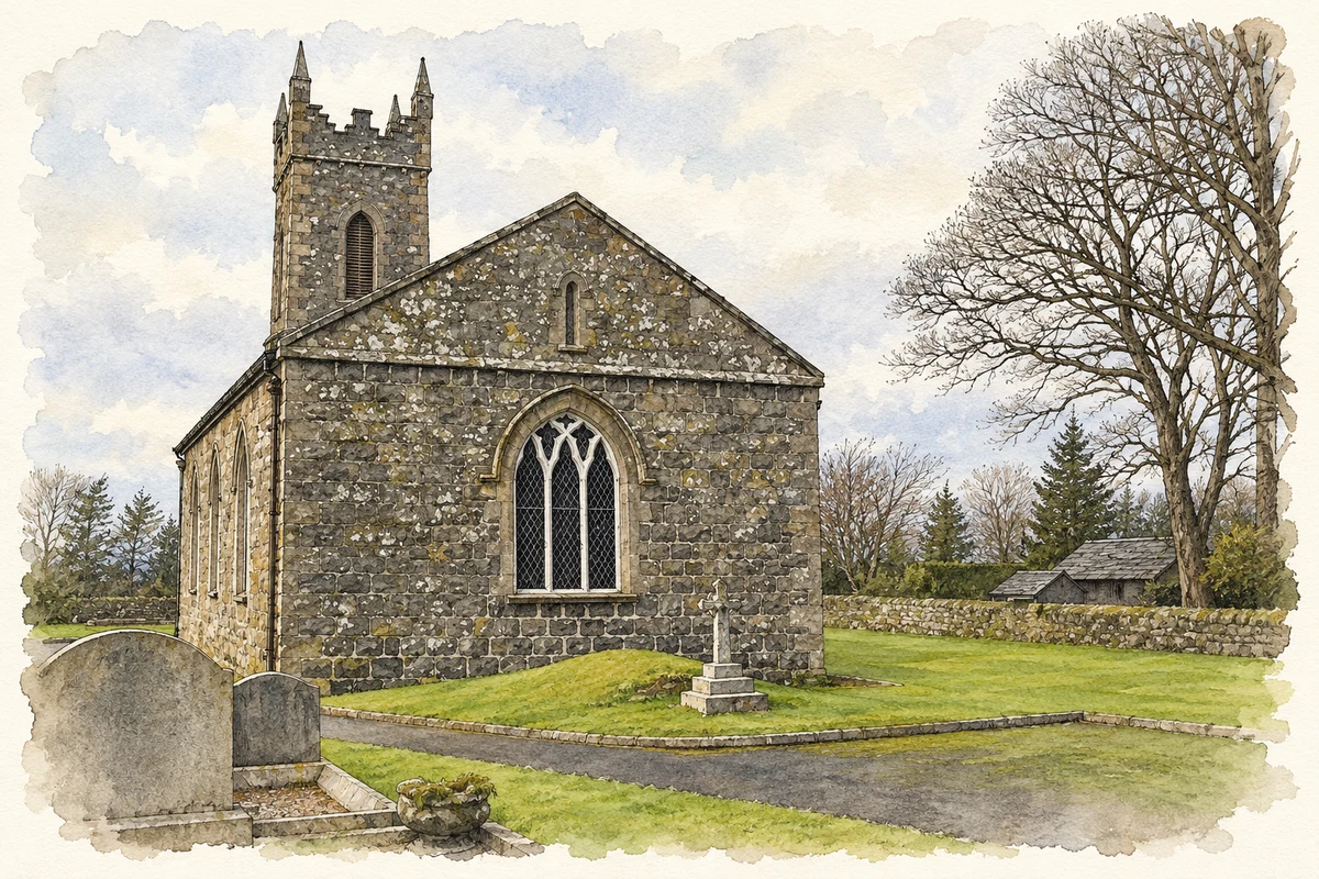
By 1806, Aghanloo’s old church at Rathfad was beyond repair, and services were held in the glebe house. A replacement was built nearby at Drumbane to designs by John Bowden for the Board of First Fruits, with work beginning in August 1823. The board supplied £900, and the parish paid a further £37 to enclose the churchyard. Coursed basalt walls, pointed windows and a three-stage tower with narrow pinnacles give Saint Luggeius’s its compact Gothic character. [2]
RAF Limavady at Aghanloo
The airfield commonly known locally as Aghanloo entered service in December 1940 as RAF Limavady. Its history includes use by both the Royal Air Force and the Fleet Air Arm. Training organisations based there included No. 7 Coastal Operational Training Unit, a torpedo training flight and the Coastal Command Anti U-Boat Devices School. The Airfields of Britain Conservation Trust records a service span extending to 1958 and identifies later industrial use, preserving the connection between the former military landscape and Aghanloo Industrial Estate. [3]
The surviving trainer dome
A gunnery-training dome built in 1942 survives within the former airfield landscape. It used audiovisual simulation to train anti-aircraft gunners, an early example of instruction through projected moving images. In May 2025, Hamilton Architects announced a tender to adapt the structure for community events on behalf of the Causeway Coast and Glens Heritage Trust. The scheme proposed retaining its weathered interior, adding 360-degree projection facilities and providing a separate modular building for supporting services, giving the wartime structure another potential public role. [4]
Geographic information
Sources & further reading
- Logainm.ie — Aghanloo. Place names and geographic record, licensed under CC BY 4.0.
- Aghanloo Church of Ireland Church: HB02/11/010A · Department for Communities, Historic Environment Division
- Limavady airfield · Airfields of Britain Conservation Trust
- Tender opportunity goes live for the historic WWII Trainer Dome, 30 May 2025 · Hamilton Architects
- St Lagha's Church of Ireland, Aghanloo, County Londonderry illustration: based on a St. Lagha's Church of Ireland, Aghanloo by Kenneth Allen. AI-assisted watercolour and ink adaptation; cream paper margins added, incidental clutter omitted and fine details simplified. Licence: CC BY-SA 2.0.
Name record retrieved 2026-10-25 · Source record modified 2011-06-27. How this page was prepared.