 placenames
Tara
Teamhair
The settlement of Tara stands beside a hill whose archaeological remains and later associations span thousands of years.
The name
A reliable full-name meaning has not been established here. The recorded Irish and English forms are given without an unsupported translation.
Recorded forms
- Teamhair · Irish · main form · validated name
- Tara · English · main form
Place & story
A landscape of different periods
The Hill of Tara beside the settlement contains monuments from widely separated periods. The Mound of the Hostages is a Neolithic passage tomb, later reused for Bronze Age burials. The long parallel earthworks called the Banqueting Hall are interpreted by archaeologists as a ceremonial approach to the summit. Their familiar names therefore preserve later associations that do not always describe the monuments’ original functions. [2]
The Lia Fáil in legend
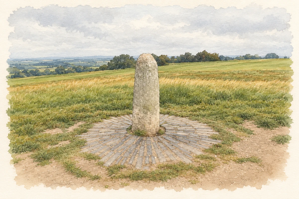
The standing stone on An Forradh is traditionally identified as the Lia Fáil, the inauguration stone of the high kings. Heritage Ireland records the legend that it would cry out when touched by the rightful king. This is a story about royal legitimacy attached to the monument, rather than an archaeological explanation of how the stone was used. [2]
Political gatherings and archaeological controversy
Daniel O’Connell held a major repeal meeting at Tara in 1843, drawing on the hill’s national symbolism. A different claim about its past brought destructive digging between 1899 and 1902, when British Israelites searched the Rath of the Synods for the Ark of the Covenant. Douglas Hyde, George Moore and W. B. Yeats protested in a letter to The Times. Professional archaeological investigations followed in the 1950s. [3]
Geographic information
Sources & further reading
- Logainm.ie — Tara. Place names and geographic record, licensed under CC BY 4.0.
- Hill of Tara: monument highlights · Office of Public Works, Heritage Ireland
- Hill of Tara: modern history · Meath County Council
- Lia Fáil, Hill of Tara, County Meath illustration: based on a Lia Fáil, Hill of Tara, County Meath by Marathon. AI-assisted watercolour and ink adaptation; cream paper margins added, incidental clutter omitted and fine details simplified. Licence: CC BY-SA 2.0.
Name record retrieved 2026-10-25 · Source record modified 2025-01-10. How this page was prepared.