 placenames
Arboe
Ard Bó
At Arboe, commonly written Ardboe, carved stone, church ruins and defensive earthworks preserve several distinct periods of activity beside Lough Neagh.
The name
These Irish name elements are associated with this record in the Logainm glossary.
An element’s translation is a clue, rather than a complete explanation of the name. Its form and meaning depend on local history and the full Irish name.
Recorded forms
- Ard Bó · Irish · main form · validated name
- Arboe · English · main form
Place & story
Twenty-two carved panels
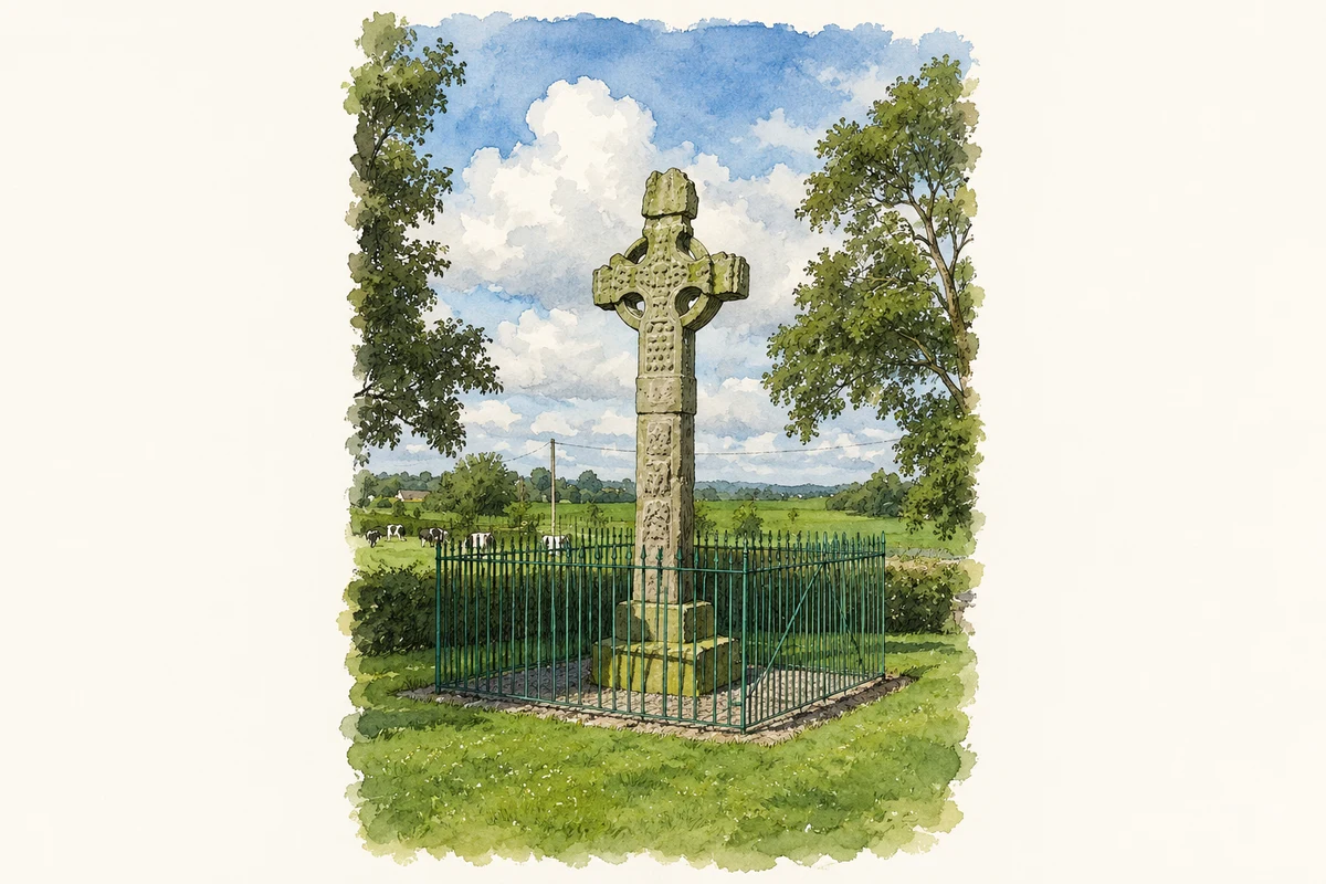
Ardboe’s sandstone high cross probably dates to the tenth century. Twenty-two panels depict subjects from the Old and New Testaments, making it an exceptionally elaborate survivor of early medieval sculpture in Ulster. A Queen’s University archaeological report also draws attention to nineteenth-century repairs: iron pins inserted to secure the cross can damage the surrounding stone as they corrode. The monument’s long survival has therefore depended on interventions that bring their own conservation problems. [2]
An ecclesiastical centre in the medieval chronicles
The medieval chronicles provide two especially clear glimpses of Ardboe. In 1103, Murchada Ua Flaithecain, its erenagh or hereditary church-land custodian, died while on pilgrimage to Armagh. The annalists praised his learning and poetry. In 1166, they recorded the burning of Ardboe by neighbouring Gaelic groups. These notices establish an active ecclesiastical community in the twelfth century, although the surviving buildings do not provide a straightforward architectural record of that early phase. [2]
Ruins and an artillery fort
The small ruin known as Ardboe Abbey stands in the field north of the graveyard. The Department for Communities considers it impossible to date from its surviving features, while suggesting an early seventeenth-century date for the ruined church inside the graveyard. At the western end are two pointed earthwork bastions. These are interpreted as remains of an artillery fort, probably established when Sir Arthur Chichester secured Lough Neagh’s western shore at the beginning of the seventeenth century. [3]
Geographic information
- Place type
- Population centre
- County
- Tyrone
- Barony
- Dungannon Upper
- Coordinates
- 54.60559, -6.56063 (approximate)
- Logainm ID
- 1411771 ↗
Sources & further reading
- Logainm.ie — Arboe. Place names and geographic record, licensed under CC BY 4.0.
- Ardboe Abbey, County Tyrone: Geophysical Survey Report 40 · Centre for Archaeological Fieldwork, Queen’s University Belfast
- Ardboe Abbey, monument TYR040:005 · Department for Communities, Historic Environment Division
- Ardboe High Cross, County Tyrone illustration: based on a Ardboe Cross by HENRY CLARK. AI-assisted watercolour and ink adaptation; cream paper margins added, incidental clutter omitted and fine details simplified. Licence: CC BY-SA 2.0.
Name record retrieved 2026-10-25 · Source record modified 2015-11-11. How this page was prepared.