 placenames
Lurgan
An Lorgain
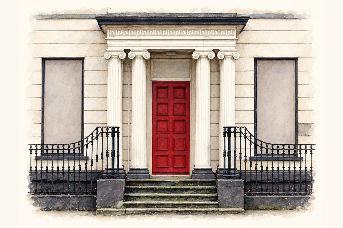
Porticoes, steps and railings preserve part of High Street’s nineteenth-century frontage.
The name
These Irish name elements are associated with this record in the Logainm glossary.
An element’s translation is a clue, rather than a complete explanation of the name. Its form and meaning depend on local history and the full Irish name.
Recorded forms
- An Lorgain · Irish · main form
- Lurgan · English · main form
Place & story
From Bengal Place to a hotel façade
Official building research traces the remains at 49–51 High Street to two houses begun in 1835 for John and Henry Cuppage and still unfinished in autumn 1837. The properties became the Orchard County Hotel in 1969. A nearby bomb badly damaged the building in 1974; further collapse and demolition followed. Lower sections of the original frontage were capped and retained, including two classical porticoes, entrance steps and decorative iron railings. [2]
Geographic information
- Place type
- Townland
- County
- Armagh
- Barony
- Oneilland East
- Civil parish
- Shankill
- Coordinates
- 54.46321, -6.33177
- Mapped area
- 0.36 km²
- Logainm ID
- 1411854 ↗
Sources & further reading
- Logainm.ie — Lurgan. Place names and geographic record, licensed under CC BY 4.0.
- Former Orchard County Hotel wall, 49–51 High Street, HB14/23/001, survey 7 February 2018 · Department for Communities, Historic Environment Division
- Boundary geometry retains its source attribution and licence in the downloadable geographic record. Map tiles © OpenStreetMap contributors.
- A surviving doorway of the former Orchard County Hotel, Lurgan illustration: based on a Old doorway, Lurgan by Albert Bridge. AI-assisted watercolour and ink adaptation; cream paper margins added, incidental clutter omitted and fine details simplified. Licence: CC BY-SA 2.0.
Name record retrieved 2026-10-25 · Source record modified 2019-06-27. How this page was prepared.