 placenames
Carrickfergus
Carraig Fhearghais
A council digitisation project preserves two different strands of the wider town’s civic records.
The name
These Irish name elements are associated with this record in the Logainm glossary.
An element’s translation is a clue, rather than a complete explanation of the name. Its form and meaning depend on local history and the full Irish name.
Recorded forms
- Carraig Fhearghais · Irish · main form
- Carrickfergus · English · main form
Place & story
Originals, transcripts and a digital copy
In January 2022, the borough council announced the digitisation of Carrickfergus town records. The museum held originals dating back to 1765, while earlier records survived through Richard Dobbs’s 1785 transcription after the originals disappeared in the early nineteenth century. His manuscript described events from 1569 to 1747 and included later information. Margaret Clarke made a typescript in 1982, and that copy was subsequently scanned. This is a record of preserving the wider town’s documentary history, rather than evidence that every event described occurred within the present townland. [2]
Geographic information
- Place type
- Townland
- County
- Antrim
- Barony
- Carrickfergus
- Civil parish
- Carrickfergus
- Coordinates
- 54.71313, -5.80650
- Mapped area
- 0.49 km²
- Logainm ID
- 1411859 ↗
Sources & further reading
- Logainm.ie — Carrickfergus. Place names and geographic record, licensed under CC BY 4.0.
- Old town records give fascinating insight into the history of Carrickfergus,24January2022 · Mid and East Antrim Borough Council
- Boundary geometry retains its source attribution and licence in the downloadable geographic record. Map tiles © OpenStreetMap contributors.
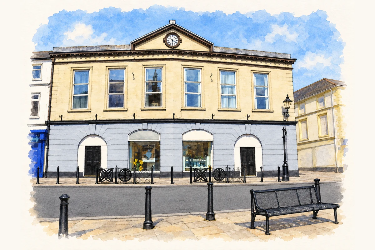
- Former Market House at Market Place, Carrickfergus, County Antrim illustration: based on a Former Market House, Carrickfergus by Kenneth Allen. AI-assisted watercolour and ink adaptation; cream paper margins added, incidental clutter omitted and fine details simplified. Licence: CC BY-SA 2.0.
Name record retrieved 2026-10-25 · Source record modified 2019-07-08. How this page was prepared.