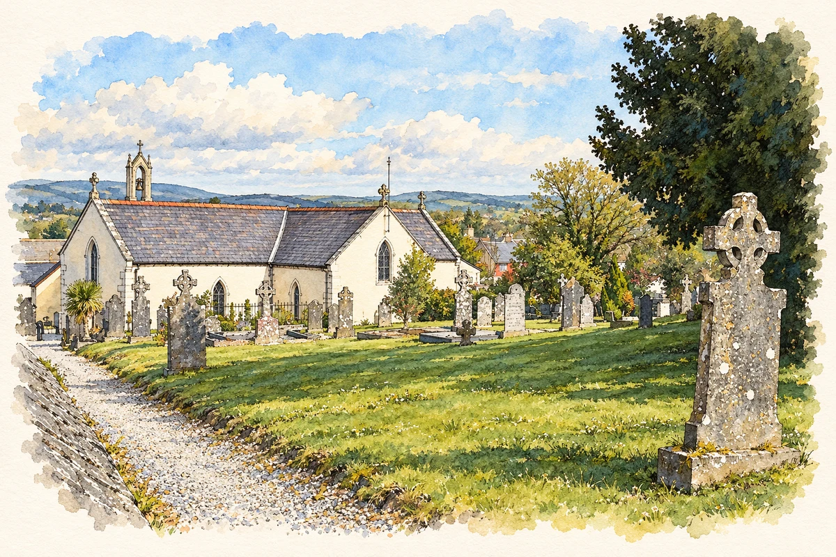
Ballon Hill preserves evidence of an extensive prehistoric cemetery, while Church Street links the hill with the village's nineteenth-century buildings.
Illustration, Saints Peter and Paul's Church, Ballon
⊕Recorded locationBallon52.74056° N · 6.77453° WInteractive map supplied by OpenStreetMap.
A reliable full-name meaning has not been established here. The recorded Irish and English forms are given without an unsupported translation.
Recorded forms
Balana· Irish · main form · validated name
Ballon· English · main form
Place & story
A cemetery on the hill
Ballon Hill rises to about 130 metres above sea level, standing prominently above the surrounding plain. Archaeological research identifies an Early Bronze Age burial complex there, possibly beginning around 2200 BC. It included a mound and at least two barrows, with other burials distributed across the hill. Pottery vessels found during tree planting and quarrying prompted excavations by landowners in the 1850s and 1860s. A later reassessment brought together the scattered records and surviving objects, identifying at least twenty-three pottery vessels. The hill therefore represents a substantial burial landscape, with several monuments and many individual discoveries.[2]
The streets below the cemetery
The village developed around Main Street and Church Street, which climbs west towards Ballon Hill. Its historic buildings include a former police barracks dated 1835 and an old national school of about 1890. Nearby Ballykealy House, designed by Thomas Cobden around 1830, introduces a more elaborate Tudor Gothic style to the district. The contrast in scale between these buildings gives Ballon several distinct nineteenth-century settings: the road through the village, the rising church street and the country-house grounds beyond.[3]
Saint Peter and Saint Paul
The Catholic church dates from about 1820. Its cross-shaped plan and granite details include a belfry and dressed surrounds to some openings. Inside, three galleries, wall monuments, a timber ceiling and a Gothic reredos preserve features recorded by the national architectural survey. Renovation around 1993 altered the exterior finish, but the older interior fittings remain an important part of the building's character. The church adds an early nineteenth-century place of worship to a settlement whose hilltop archaeology reaches back much further.[4]
Both counts use the 2016 settlement boundary, allowing like-for-like comparison. CSO supplies the 2022 count on this older boundary for comparison only. The official 2022 Built Up Area has different boundaries.
View population figures
Ballon — Census 2016 settlement footprint — census population
These are the historical areas published in the 2006 census report. Boundaries may differ between censuses and from modern settlements. Legal towns, environs and suburbs are shown separately; none has been combined into a modern settlement total.
View population figures
Ballon, Carlow — Census town, CSO 2006 report — census population
These are the historical areas published in the 1996 census report. Boundaries may differ between censuses and from modern settlements. Legal towns, environs and suburbs are shown separately; none has been combined into a modern settlement total.
View population figures
Ballon, Carlow — Census town, CSO 1996 report — census population
These figures use different area definitions. Read the boundary note before comparing them.
Ballon, Carlow
Published census settlement populations
712people · 2016
Settlement boundaries changed during this period. Differences may reflect boundary changes as well as population change. Where a 2011 legal-town-and-environs count is shown, it has not been recalculated onto the 2016 settlement boundary.
Saints Peter and Paul's Church, Ballon illustration: based on a Ballon church by Graham Horn. AI-assisted watercolour and ink adaptation; cream paper margins added, incidental clutter omitted and fine details simplified. Licence: CC BY-SA 2.0.
 placenames