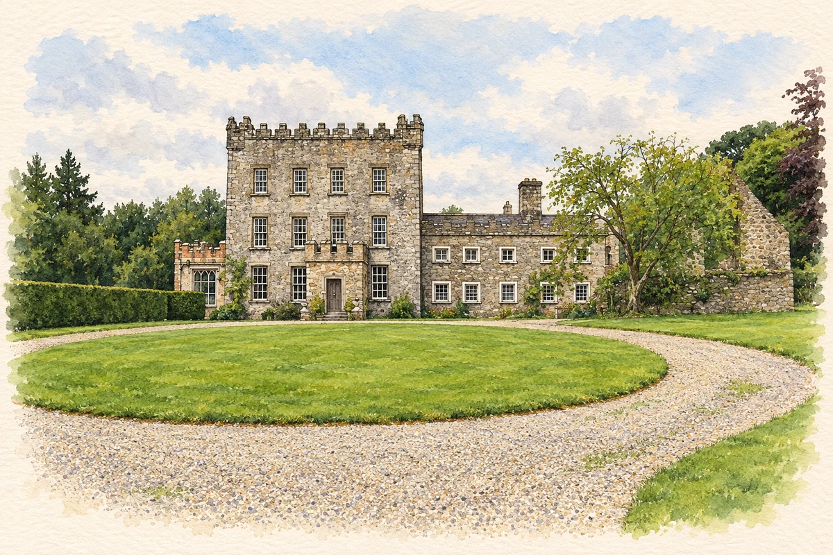
Clonegall, commonly written Clonegal, brings together an estate village beside the Derry, restored craft workers’ cottages and a castle enlarged over centuries.
Illustration, Huntington Castle, Clonegal
⊕Recorded locationClonegall52.69480° N · 6.64519° WInteractive map supplied by OpenStreetMap.
These Irish name elements are associated with this record in the Logainm glossary.
An element’s translation is a clue, rather than a complete explanation of the name. Its form and meaning depend on local history and the full Irish name.
Recorded forms
Cluain na nGall· Irish · main form · validated name
Clonegall· English · main form
Clonegal· English · main form · local name
Place & story
An estate village beside the river
Clonegal Tidy Village Association traces the village’s development to the Esmonde estate in the seventeenth century. Its history describes an unfinished ambition: financial difficulties and successive changes in the family left only one side of the proposed village built, retaining open views towards the river. An old posting inn later became a hotel. These local accounts connect the street with estate planning and the provision of services for passing travellers.[2]
The weavers’ cottages
The paired cottages known as the Durdin or Weavers Cottages preserve the memory of textile work in Clonegal. Their museum displays include household furnishings, tools and pictures, while the rear garden grows vegetables and plants used for dyeing wool. The local village association records their reopening during Heritage Week in 2000, with demonstrations of weaving, spinning, breadmaking and butter-making. Their significance lies in this combination of workers’ dwellings and the practical skills interpreted there.[2][3]
Huntington’s successive layers
Huntington Castle began as an early-seventeenth-century Esmonde seat and changed substantially with later generations. The National Inventory of Architectural Heritage identifies alterations in the early eighteenth century, Victorian period and 1920s. Panelled rooms and family collections occupy the expanded house. Its grounds include restored Italianate gardens, a yew walk and woodland specimen trees. The castle’s varied appearance reflects those successive building campaigns, rather than a single unchanged fortress.[4]
Both counts use the 2016 settlement boundary, allowing like-for-like comparison. CSO supplies the 2022 count on this older boundary for comparison only. The official 2022 Built Up Area has different boundaries.
View population figures
Clonegal — Census 2016 settlement footprint — census population
Clonegal, Carlow and Wexford — Census town, CSO 2006 report
2002–2006: census town
231people · 2006
These are the historical areas published in the 2006 census report. Boundaries may differ between censuses and from modern settlements. Legal towns, environs and suburbs are shown separately; none has been combined into a modern settlement total.
View population figures
Clonegal, Carlow and Wexford — Census town, CSO 2006 report — census population
Clonegal, Carlow and Wexford — Census town, CSO 1996 report
1991–1996: census town
200people · 1996
These are the historical areas published in the 1996 census report. Boundaries may differ between censuses and from modern settlements. Legal towns, environs and suburbs are shown separately; none has been combined into a modern settlement total.
View population figures
Clonegal, Carlow and Wexford — Census town, CSO 1996 report — census population
These figures use different area definitions. Read the boundary note before comparing them.
Clonegal, Carlow and Wexford
Published census settlement populations
278people · 2016
Settlement boundaries changed during this period. Differences may reflect boundary changes as well as population change. Where a 2011 legal-town-and-environs count is shown, it has not been recalculated onto the 2016 settlement boundary.
 placenames