 placenames
1901 census
No verified place match is available for this year. This does not indicate a population of zero.
Dún Mór
The Galway census separates rural Dunmore from a town spread across several townlands.
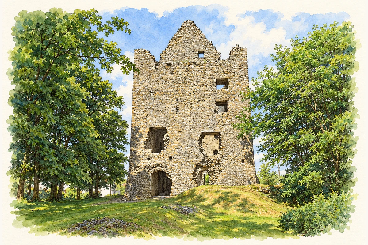
These Irish name elements are associated with this record in the Logainm glossary.
An element’s translation is a clue, rather than a complete explanation of the name. Its form and meaning depend on local history and the full Irish name.
Dunmore’s rural return had twenty-five inhabitants in 1911, thirteen male and twelve female. Five of its seven houses were occupied and two were empty. The comparison columns give thirteen inhabitants in 1891 and twenty-eight in 1901. The table places the townland in Dunmore parish and barony, within Dunmore South electoral division and Dunmore dispensary district, under Tuam Poor Law Union. Its recorded area was 142 acres, two roods and ten perches. [2]
Dunmore town contained 577 inhabitants in 1911. Its largest separately listed portion had 445 people and stood on Dunmore and Abbeyland South townlands. Other portions lay on Abbeyland North and Gaterstreet, spanning two electoral divisions and two baronies. Those settlement figures therefore cannot be assigned entirely to Dunmore townland. [2]
Census figures refer to the matched historical census area for each year. Boundaries and spellings can change over time.
No verified place match is available for this year. This does not indicate a population of zero.
Most frequent surnames in this year’s matched records
Explore the 1911 records ↗Most frequent surnames in this year’s matched records
Name record retrieved 2026-10-25 · Source record modified 2025-01-10. How this page was prepared.