Townland

Loughgall

Loch gCál

A house and its smaller adjoining block preserve the village’s medical history.
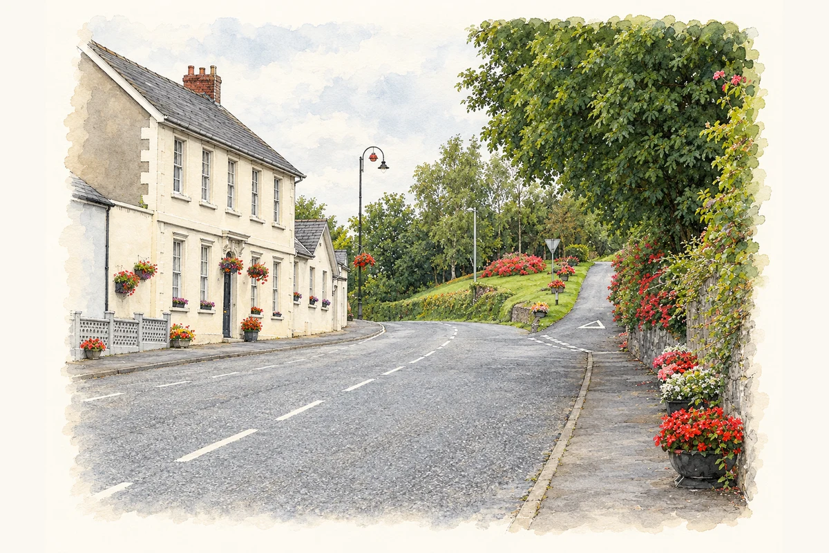
Watercolour and fine ink view of a village road curving past a pale two-storey house, hanging flower baskets and a tree-lined rising side lane.
Illustration, Main Street in Loughgall, County Armagh, as photographed in July 2009
Recorded locationLoughgall54.41059° N · 6.59778° WInteractive map supplied by OpenStreetMap.
Recorded place location · Logainm.ie

The name

These Irish name elements are associated with this record in the Logainm glossary.

An element’s translation is a clue, rather than a complete explanation of the name. Its form and meaning depend on local history and the full Irish name.

Recorded forms

  • Loch gCál · Irish · main form
  • Loughgall · English · main form

Place & story

Treatment in a rented dwelling

Official building research identifies Dispensary House at 88 Main Street as a mid-nineteenth-century remodelling or rebuilding of an earlier property. A dispensary already operated on the site in the 1830s, when the Ordnance Survey memoir described an ordinary stone dwelling rented for £12 a year for that purpose. The 1908 map still marked a dispensary here. The surviving group includes the two-storey house, a lower dispensary block to its north and octagonal stone posts on the pavement. [2]

Geographic information

Place type
Townland
County
Armagh
Civil parish
Loughgall
Coordinates
54.41059, -6.59778
Mapped area
0.54 km²
Logainm ID
1412016 ↗

People & family history

Census figures refer to the matched historical census area for each year. Boundaries and spellings can change over time.

1901 census

11People recorded
5Households recorded

Most frequent surnames in this year’s matched records

  • Muldrew 5
  • McRea 2
  • Cook 1
  • Kelly 1
  • McCusker 1
Explore the 1901 records ↗

1911 census

18People recorded
5Households recorded

Most frequent surnames in this year’s matched records

  • Spencer 6
  • McCusker 4
  • McVey 3
  • McCrea 2
  • Dawson 1
Explore the 1911 records ↗

1926 census

This year is outside the available dataset’s coverage. This does not indicate a population of zero.

Sources & further reading

  1. Logainm.ie — Loughgall. Place names and geographic record, licensed under CC BY 4.0.
  2. Dispensary House, 88 Main Street, HB15/02/011, survey 31 December 2004 · Department for Communities, Historic Environment Division
  3. Boundary geometry retains its source attribution and licence in the downloadable geographic record. Map tiles © OpenStreetMap contributors.
  4. Main Street in Loughgall, County Armagh illustration: based on a Main Street, Loughgall by Dean Molyneaux. AI-assisted watercolour and ink adaptation; cream paper margins added, incidental clutter omitted and fine details simplified. Licence: CC BY-SA 2.0.

Name record retrieved 2026-10-25 · Source record modified 2019-06-27. How this page was prepared.