 placenames
Shankill
Seanchill
Shankill’s modern village grew beside the main Dublin–Bray road. Tillystown, a Carnegie library and the former railway’s industrial connections reveal different parts of that development.
The name
These Irish name elements are associated with this record in the Logainm glossary.
An element’s translation is a clue, rather than a complete explanation of the name. Its form and meaning depend on local history and the full Irish name.
Recorded forms
- Seanchill · Irish · main form · validated name
- Shankill · English · main form
Place & story
Tillystown and the modern village
A Rathmichael Historical Society walk recorded in 1981 traced the modern village’s beginnings to Tillystown, also known as the Lower Road. Its account describes tenants evicted by Sir Charles Domvile in the 1860s after refusing increased rents, then given land beside the main road by Mr Tilly of Chantilly. The resulting settlement developed east of the older Shankill village on the slopes of Carrickgollogan. The account distinguishes the nineteenth-century roadside community from the earlier settlement bearing the same name. [2]
The Carnegie library
Shankill’s Carnegie Free Library opened in 1912 after construction began in 1910. Its small cruciform building has paired gables above the entrance, a terracotta-tiled roof and a timber cupola topped by a copper spire. Granite at the base and corners contrasts with the roughcast walls, while a rounded stone-and-brick opening frames the entrance. Renovation in 1978 forms part of the building’s later history. Its carefully composed materials make this modest public building a distinctive feature of Library Road. [3]
Railway and lead ore
The Harcourt Street railway reached Shankill in 1854. The Rathmichael Historical Society recorded a siding at the former station used for lead ore coming from Glendalough on its way to the Ballycorus smelting works. Its local walk also linked the development of Stonebridge Road with the railway’s arrival. These connections show how Shankill’s transport history extended beyond passenger journeys to the movement of raw materials for a neighbouring industry. [2]
Geographic information
- Place type
- Population centre
- County
- Dublin
- Barony
- Rathdown
- Civil parish
- Rathmichael
- Within
- Shankill
- Coordinates
- 53.22494, -6.14310 (approximate)
- Logainm ID
- 1412161 ↗
Sources & further reading
- Logainm.ie — Shankill. Place names and geographic record, licensed under CC BY 4.0.
- A walk around Shankill village, 19 July 1981: Rathmichael Record 1980–81, pages 25–27 · Rathmichael Historical Society; M. K. Turner, editor
- Shankill Carnegie Free Library: 60260117 · National Inventory of Architectural Heritage
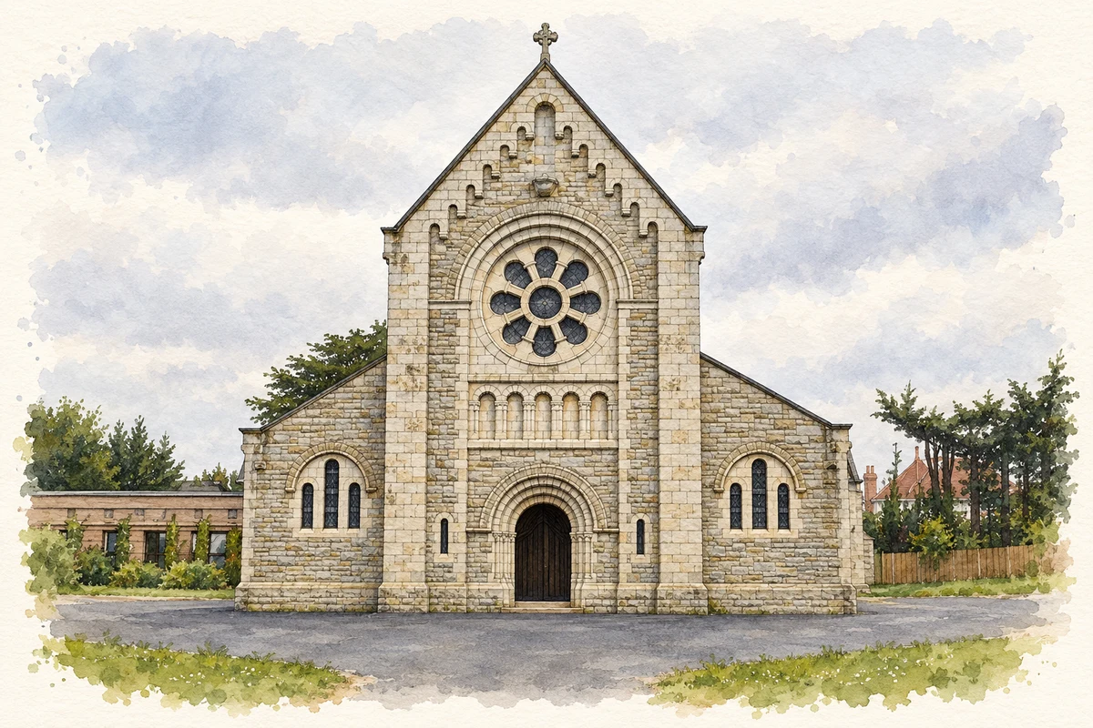
- St Anne's Church, Shankill, County Dublin illustration: based on a Shankill Church by Raymond Okonski. AI-assisted watercolour and ink adaptation; cream paper margins added, incidental clutter omitted and fine details simplified. Licence: CC BY-SA 2.0.
Name record retrieved 2026-10-25 · Source record modified 2011-11-10. How this page was prepared.