 placenames
Dowra
An Damhshraith
An old riverside house, a substantial bridge and a twentieth-century courthouse mark successive stages in Dowra’s development.
The name
These Irish name elements are associated with this record in the Logainm glossary.
An element’s translation is a clue, rather than a complete explanation of the name. Its form and meaning depend on local history and the full Irish name.
Recorded forms
- An Damhshraith · Irish · main form · validated name
- Dowra · English · main form
Place & story
Before the bridge
A stone house on Main Street preserves evidence of an earlier Dowra. The National Inventory dates it to about 1770 and notes its appearance on the 1835 Ordnance Survey map. At that time the street passed in front of the building towards stepping stones across the Shannon. Its unusually steep slate roof, stone window dressings and surviving sash windows distinguish a house that predates the later redirection of the street towards the bridge. [2]
A substantial Shannon crossing
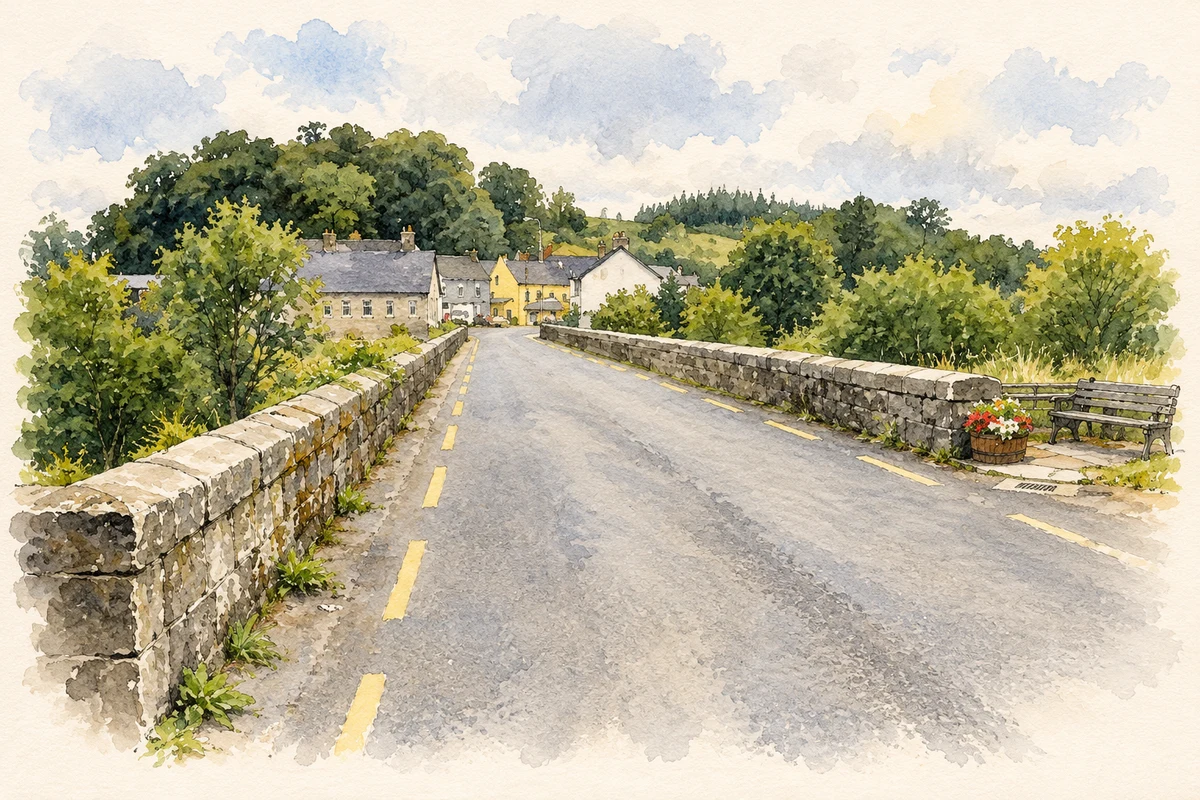
Dowra’s mid-nineteenth-century bridge carries three main stone arches across the river, with a smaller dry arch at its western end. V-shaped cutwaters, dressed arch stones and large sandstone coping stones give the structure a carefully finished appearance. The National Inventory treats it as a good example of a larger Board of Works bridge. It remains a defining feature of the village where the Shannon separates Cavan from Leitrim. [3]
A courthouse after Partition
Dowra Courthouse was built around 1930 to serve the Cavan side of a district affected by Partition. It also accommodated a Garda station. Its six-bay, two-storey frontage is arranged around a recessed central section, with round-headed windows and doorways. The 2012 National Inventory survey recorded timber courtroom benches, including the raised bench for the judge and clerk, among the surviving fittings. The building represents a later phase of courthouse construction than the nineteenth-century examples common elsewhere in Ireland. [4]
From courtroom to creative space
Restoration completed in 2014 gave the former courthouse a new purpose as a Community Creative Arts Space. Work included conserving the roof, doors and windows, adding a glazed rear corridor and improving access with a lift. Under Cavan County Council’s stewardship, the building was intended to support local arts and small creative businesses. The project brought a disused public building back into village life after the court and Gardaí had left. [5]
Geographic information
Sources & further reading
- Logainm.ie — Dowra. Place names and geographic record, licensed under CC BY 4.0.
- Main Street house, NIAH 40400503 · National Inventory of Architectural Heritage
- Dowra Bridge, NIAH 40400506 · National Inventory of Architectural Heritage
- Dowra Court House, NIAH 40400504 · National Inventory of Architectural Heritage
- Restored former Dowra Courthouse transforms village, 19 November 2014 · Leitrim Observer, Editorial Team
- Road over Dowra Bridge illustration: based on a Dowra Bridge, Dowra by Kenneth Allen. AI-assisted watercolour and ink adaptation; cream paper margins added, incidental clutter omitted and fine details simplified. Licence: CC BY-SA 2.0.
Name record retrieved 2026-10-25 · Source record modified 2025-01-10. How this page was prepared.