 placenames
Cloghane
An Clochán
A carved head, successive churches and a revived festival connect the village’s buildings with its religious and seasonal traditions.
The name
These Irish name elements are associated with this record in the Logainm glossary.
An element’s translation is a clue, rather than a complete explanation of the name. Its form and meaning depend on local history and the full Irish name.
Recorded forms
- An Clochán · Irish · main form · validated name
- Cloghane · English · main form
Place & story
The medieval church
Cloghane’s ruined medieval church retains its eastern gable and parts of the chancel walls, including a round-headed window and a piscina. Tessa Garton’s survey records the church of Clothan in the papal taxation of 1302–07. It remained in repair in 1615 but was ruined by the middle of the eighteenth century. A nineteenth-century tower belongs to a later phase of worship at the site. [2]
The head called Crom Dubh
A carved stone head formerly set into the church wall was regarded locally as an image of Crom Dubh. Scholars disagreed over its age: some proposed a pre-Christian origin, while others understood it as medieval architectural sculpture. Garton favours a twelfth-century date on stylistic grounds. The head was stolen in 1993 and subsequently replaced by a replica, leaving a distinction between the local identification and the archaeological interpretation. [2]
Saint Brendan’s Catholic church
Saint Brendan’s Catholic church was built around 1900 in Romanesque Revival style. Its cruciform plan combines a nave and transepts with a western chancel and an eastern entrance bellcote. Sandstone walls contrast with limestone dressings around the round-headed openings. Inside, marble columns support paired arches into the transepts. The architectural inventory records later alterations to the sanctuary and sacristy within the earlier overall composition. [3]
Féile Lúghnasa
Cloghane and Brandon revived Féile Lúghnasa in 1995. The modern festival takes place around the last weekend in July, combining music, drama and children’s activities with sheep shearing, a blessing of boats at Brandon Pier and a pilgrimage to Mount Brandon’s summit. The programme joins neighbouring communities in a seasonal gathering whose religious and secular events take place across the wider parish landscape. [4]
Geographic information
- Place type
- Population centre
- County
- Kerry
- Barony
- Corkaguiny
- Civil parish
- Cloghane
- Within
- Cloghane
- Coordinates
- 52.23966, -10.18156 (approximate)
- Logainm ID
- 1412428 ↗
Sources & further reading
- Logainm.ie — Cloghane. Place names and geographic record, licensed under CC BY 4.0.
- Cloghane: Corpus of Romanesque Sculpture in Britain and Ireland · Tessa Garton; Corpus of Romanesque Sculpture in Britain and Ireland
- Saint Brendan’s Catholic Church, NIAH 21400401 · National Inventory of Architectural Heritage
- Féile Lúghnasa · Dingle Peninsula Tourism Alliance
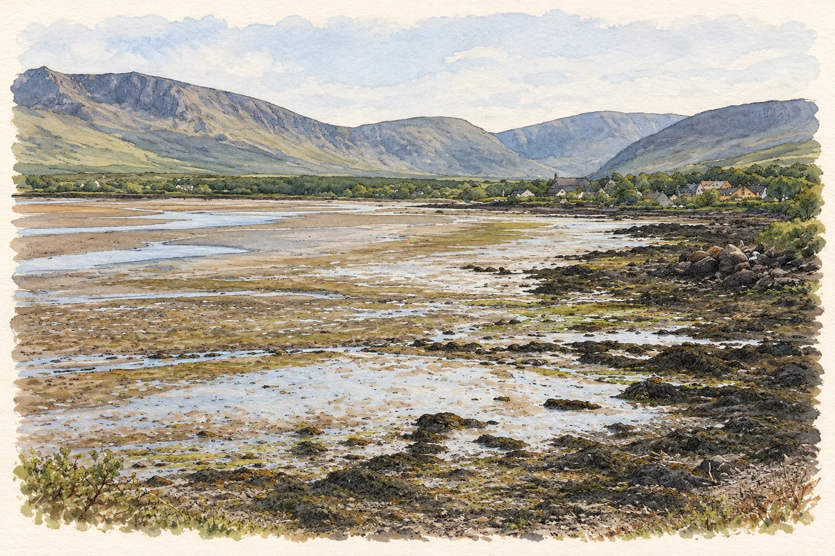
- Owenmore Estuary, Cloghane illustration: based on a The Owenmore Estuary at Cloghane by Adrian Platt. AI-assisted watercolour and ink adaptation; cream paper margins added, incidental clutter omitted and fine details simplified. Licence: CC BY-SA 2.0.
Name record retrieved 2026-10-25 · Source record modified 2011-11-10. How this page was prepared.