 placenames
Kilgobnet
Cill Ghobnait
Kilgobnet’s Saint Brigid’s Day tradition joins house visits, music and skilled straw work with support for the local school.
The name
These Irish name elements are associated with this record in the Logainm glossary.
An element’s translation is a clue, rather than a complete explanation of the name. Its form and meaning depend on local history and the full Irish name.
Recorded forms
- Cill Ghobnait · Irish · main form · validated name
- Kilgobnet · English · main form
Place & story
The Biddy visits
Around Saint Brigid's Day, Kilgobnet's Biddy group visits houses in white clothes and straw hats, bringing music, singing and dancing. The group carries a Brídóg, a doll representing the saint. In his 2021 account, participant Mike Coffey described a senior group raising money for the school and a junior group collecting for charity. The custom combines a seasonal visit to neighbours with practical support for community causes. [2]
Mike Coffey’s straw work
Coffey explained that his hats require oaten straw: barley is too short and brittle. Each stem must be cleaned before it can be worked, making preparation a slow part of the craft. He also demonstrated hat and Saint Brigid's cross making at the local school. His account shows how the costume depends on particular materials and patient handwork, and how children learn the skills that accompany the music and dancing. [2]
Successive school buildings
The school's own history dates the former three-room Kilgobnet school building to 1934. Pupil numbers increased after nearby Gortnascarry school closed, and a prefabricated classroom was added. A new school building opened nearby in 1988. These dates concern successive premises rather than the beginning of education in the district: the same account names principals serving before 1934. The building changes record the consolidation and later renewal of local primary education. [3]
Geographic information
- Place type
- Population centre
- County
- Kerry
- Barony
- Dunkerron North
- Civil parish
- Knockane
- Within
- Kilgobnet
- Coordinates
- 52.05851, -9.72064 (approximate)
- Logainm ID
- 1412534 ↗
Sources & further reading
- Logainm.ie — Kilgobnet. Place names and geographic record, licensed under CC BY 4.0.
- Listen: have you ever heard of the Biddie? Mike Coffey interview, 30 January 2021 · Mike Coffey interviewed by Anne O’Donoghue, Irish Farmers Journal
- History of Kilgobnet National School · Kilgobnet National School
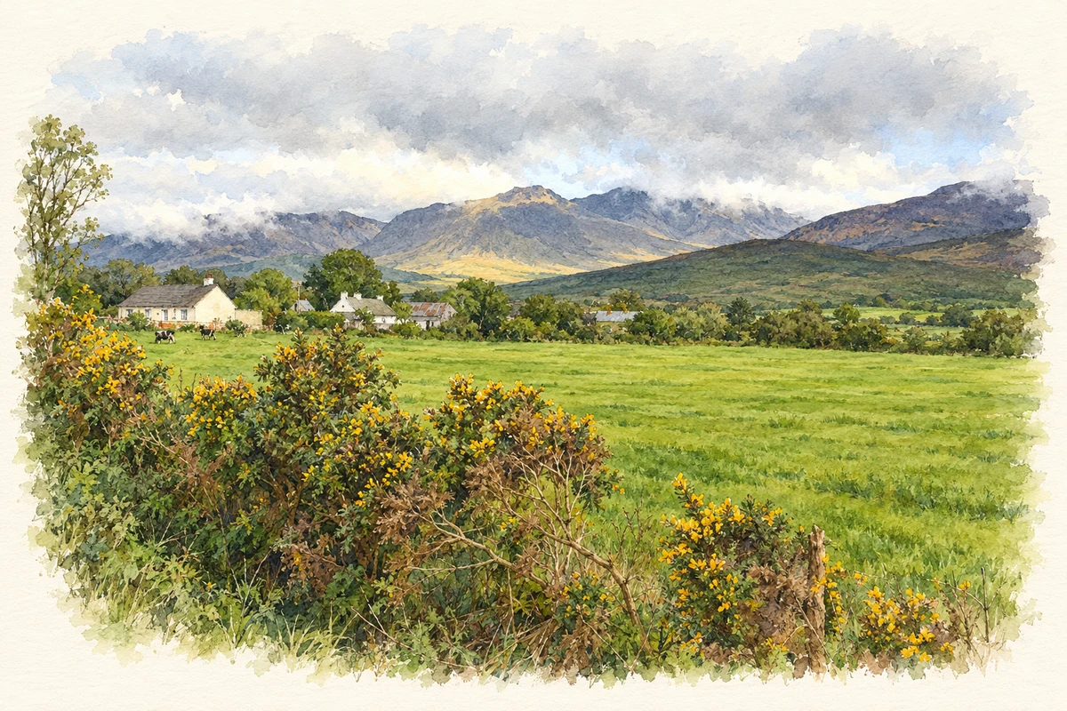
- Pasture and Carrauntoohil near Kilgobnet, County Kerry illustration: based on a Pasture with a view to Carrauntoohil by Espresso Addict. AI-assisted watercolour and ink adaptation; cream paper margins added, incidental clutter omitted and fine details simplified. Licence: CC BY-SA 2.0.

Name record retrieved 2026-10-25 · Source record modified 2025-01-10. How this page was prepared.