 placenames
Adrigole
Eadargóil
Adrigole’s football history and memories of the Civil War give this Beara community a strong local identity. Along the coast road towards Glengarriff, exposed sandstone reveals a much older history beneath the surrounding mountains.
The name
A reliable full-name meaning has not been established here. The recorded Irish and English forms are given without an unsupported translation.
Recorded forms
- Eadargóil · Irish · main form · validated name
- Adrigole · English · main form
Place & story
Football honours on Beara
Adrigole GAA was founded in 1927 and became part of Beara’s divisional competitions. The club’s roll of honour records its county intermediate football title on 19 August 1979, when it defeated Kildorrery by 2–9 to 1–6 at Páirc Uí Chaoimh. A further county breakthrough came in November 2006 with victory over Grenagh in the junior A final. These successes sit alongside a long sequence of Beara divisional titles and show the club’s connections with both its peninsula neighbours and the wider Cork competitions. [2] [3]
Remembering Maggie Dunne
Margaret, known as Maggie, Dunne was a local Cumann na mBan member killed at Drumlave, Adrigole, on 8 April 1923 during an encounter involving National Army troops and anti-Treaty IRA forces. University College Cork’s fatality register documents contemporary reports and notes uncertainty surrounding some details. Her sister Kate’s pension record also recalls the death and identifies Maggie as the local Cumann na mBan secretary. A centenary commemoration in 2023 included Mass at Saint Fachtna’s, prayers at her grave and a gathering at the place where she was shot. [4] [5] [6]
Sandstone along the coast road
On the R572 towards Glengarriff, road cuttings expose purple, green and grey sandstone and siltstone of the Upper Devonian Caha and Gun Point formations. Geological Survey Ireland identifies the Glengarriff–Adrigole road section as a county geological site, particularly for its extensive exposures of Old Red Sandstone. Some cuttings were created during road improvements in 1997–2001. The survey recommends viewing only where safely away from this busy road, including established roadside viewpoints, rather than treating the rock faces as an unrestricted walking route. [7]
Geographic information
Sources & further reading
- Logainm.ie — Adrigole. Place names and geographic record, licensed under CC BY 4.0.
- Adrigole GAA: club history · Adrigole GAA
- Adrigole GAA: roll of honour · Adrigole GAA
- Cork fatality register 1923–36: Margaret Maggie Dunne · University College Cork, The Irish Revolution project
- Release 13 highlights: Kate O’Sullivan née Dunne, MSP34REF29831 · Military Service Pensions Archive, 5 December 2022
- Maggie Dunne commemoration at Droumlave, Adrigole, April 2023 · Anne Marie Cronin Photography, 13 April 2023
- Glengarriff to Adrigole R572 Road: geological site CK050 · Hennessy and colleagues, Geological Survey Ireland, 2023
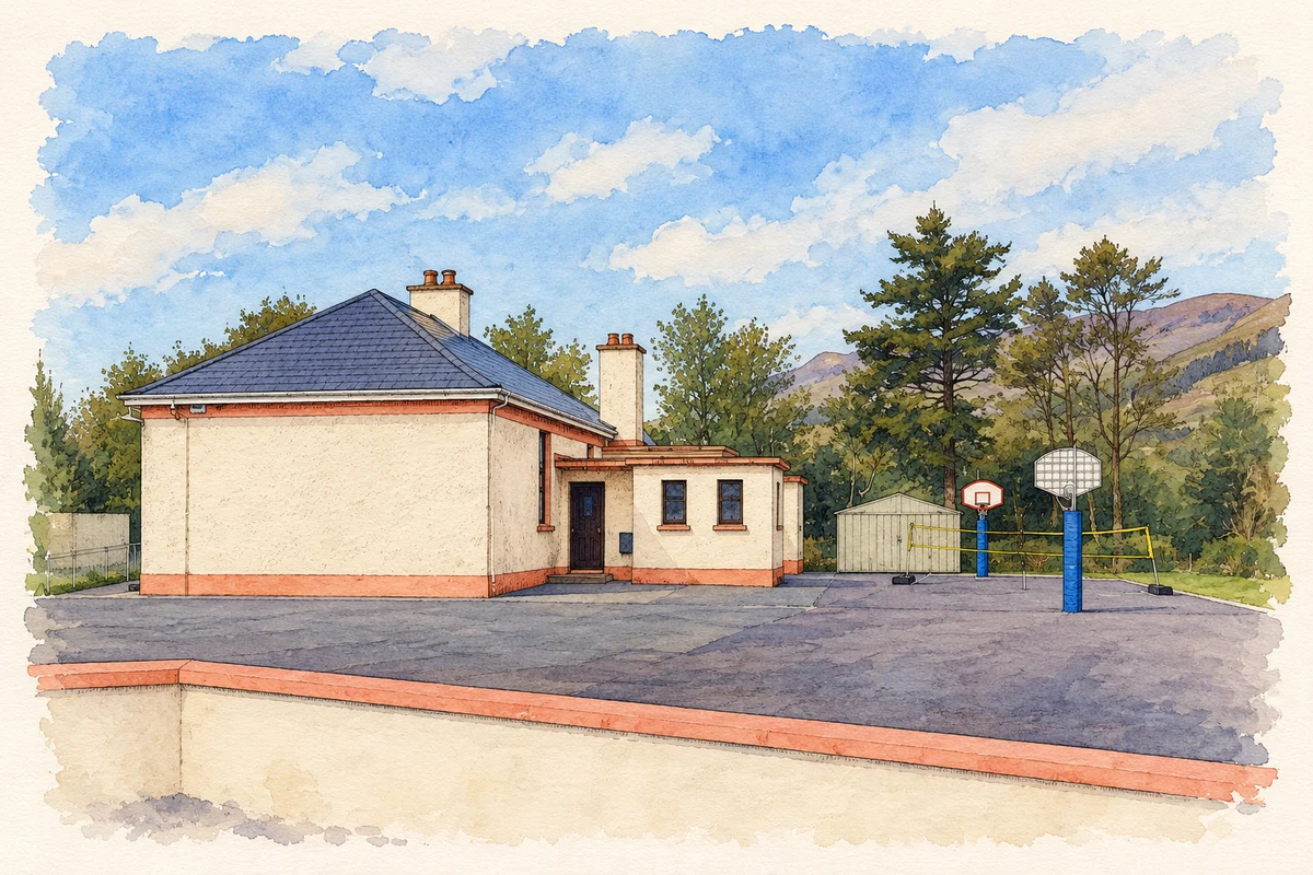
- Adrigole National School, County Cork illustration: based on a Ardrigole school by Gordon Hatton. AI-assisted watercolour and ink adaptation; cream paper margins added, incidental clutter omitted and fine details simplified. Licence: CC BY-SA 2.0.
Name record retrieved 2026-10-25 · Source record modified 2025-01-10. How this page was prepared.