 placenames
Aghadown
Achadh Dúin
Aghadown’s surviving houses and church sites reflect changes in a West Cork community extending towards the Ilen estuary. Local efforts to record memories continue that history through photographs, household objects and first-hand recollections.
The name
These Irish name elements are associated with this record in the Logainm glossary.
An element’s translation is a clue, rather than a complete explanation of the name. Its form and meaning depend on local history and the full Irish name.
Recorded forms
- Achadh Dúin · Irish · main form · validated name
- Aghadown · English · main form
Place & story
Two houses with one name
Records distinguish an original Aghadown House from the smaller building that survives under the same name. The University of Galway’s Landed Estates database traces the older house to the Banfield family in the eighteenth century and records it as unoccupied during Griffith’s Valuation. The National Inventory describes the surviving house as a building of around 1800, remodelled around 1900, and suggests it may once have served as a steward’s house. Its later porch, regular frontage and surviving sash windows record this change from a more vernacular form. [2] [3]
The earlier church beside the Ilen
The older Saint Matthew’s church stands in the wider Aghadown parish beside the River Ilen. Writing in 1924, Chancellor Webster quoted its consecration deed, which placed the building in the ancient churchyard and dated its consecration to 20 September 1814. He also recorded Bishop Dive Downes finding the preceding church in ruins in 1699. The riverside site therefore preserves a sequence of religious use, rather than representing a wholly new church location established in the nineteenth century. [4]
Recording parish life
Aughadown Irish Countrywomen’s Association prepared a second volume of From Ilen to Roaring Water Bay for publication in 2026. The group’s announcement describes first-hand memories of school, farming, fishing and everyday life across the parish, alongside photographs, poems and historical research. Stories shared at its 2025 Heritage Week pop-up museum in Skibbereen helped inspire the project. Accounts of the Lisheen shop, Minihane’s Bar and the local dairy preserve the smaller places and activities through which parish history was lived. [5]
Geographic information
- Place type
- Population centre
- County
- Cork
- Barony
- Carbery West (E.D.)
- Civil parish
- Aghadown
- Within
- Aghadown
- Coordinates
- 51.55022, -9.41300 (approximate)
- Logainm ID
- 1412697 ↗
Sources & further reading
- Logainm.ie — Aghadown. Place names and geographic record, licensed under CC BY 4.0.
- Aghadown House: property 2665 · University of Galway, Landed Estates database
- Aghadown House: record 20914116 · National Inventory of Architectural Heritage
- The Diocese of Ross, chapter V: Aghadown, page 29 · Reverend Chancellor Webster, Journal of the Cork Historical and Archaeological Society, 1924
- Historic Aughadown stories brought to life in new local history book · Aughadown ICA announcement, Cork County Public Participation Network, October 2026
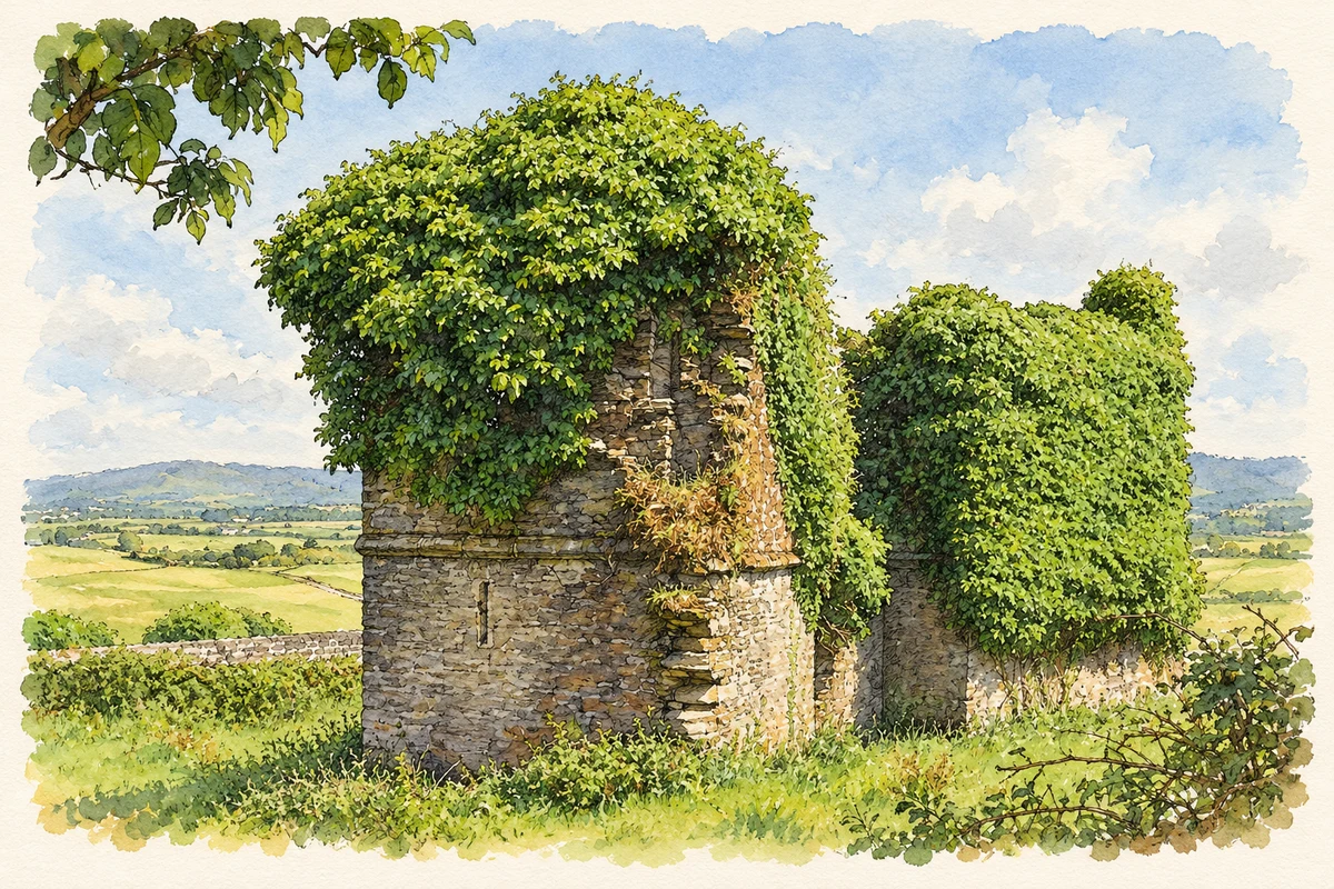
- Surviving ruins of Aghadown fortified house, County Cork illustration: based on a Castles of Munster: Aghadown, Cork by Mike Searle. AI-assisted watercolour and ink adaptation; cream paper margins added, incidental clutter omitted and fine details simplified. Licence: CC BY-SA 2.0.
Name record retrieved 2026-10-25 · Source record modified 2025-01-10. How this page was prepared.