 placenames
Commeen
An Coimín
An Coimín’s place in the Glenfin Gaeltacht is documented through linguistic research and a visitor’s account of language immersion.
The name
These Irish name elements are associated with this record in the Logainm glossary.
An element’s translation is a clue, rather than a complete explanation of the name. Its form and meaning depend on local history and the full Irish name.
Recorded forms
- An Coimín · Irish · main form · validated name
- Commeen · English · main form
Place & story
A dialect recorded
The Irish of Commeen and Tangaveane became the subject of Arthur John Hughes’s doctoral research at Queen’s University Belfast, awarded in 1986. His study assembled texts and examined pronunciation, grammar and vocabulary. It records a particular local form of Irish, rather than treating Donegal speech as uniform. The university’s archive preserves the thesis as a substantial record of the language of these inland communities. [2]
The school as a summer classroom
When Audrey Nickel attended Irish courses in Glenfin in 2013, classes met at Scoil Náisiúnta an Choimín. Her account dates the new school building to 2011 and describes its ordinary role as an Irish-medium primary school. During the summer it accommodated adult learners at three levels, from beginners to fluent speakers. Conversation, rather than translation exercises alone, shaped the daily teaching. [3]
Learning beyond the lesson
Nickel’s account describes a programme extending beyond the classroom: local speakers discussed life in Glenfin, while walks, music and evening activities encouraged learners to keep using Irish. Staying with a host family brought the language into meals and everyday conversation. The school thus served as a meeting point between the local Irish-speaking community and visitors who had come to practise the language in daily life. [3]
Geographic information
- Place type
- Population centre
- County
- Donegal
- Barony
- Raphoe South
- Civil parish
- Kilteevoge
- Within
- Cloghan
- Within
- Commeen
- Coordinates
- 54.82077, -7.96888 (approximate)
- Logainm ID
- 1412964 ↗
Sources & further reading
- Logainm.ie — Commeen. Place names and geographic record, licensed under CC BY 4.0.
- The Gaelic of Tangaveane and Commeen, County Donegal: texts, phonology, aspects of grammar and a vocabulary, PhD1986 · Arthur John Hughes; Queen’s University Belfast
- Donegal Diaries2: A Fortnight in Glenfin, 17 September2013 · Audrey Nickel; Bitesize Irish
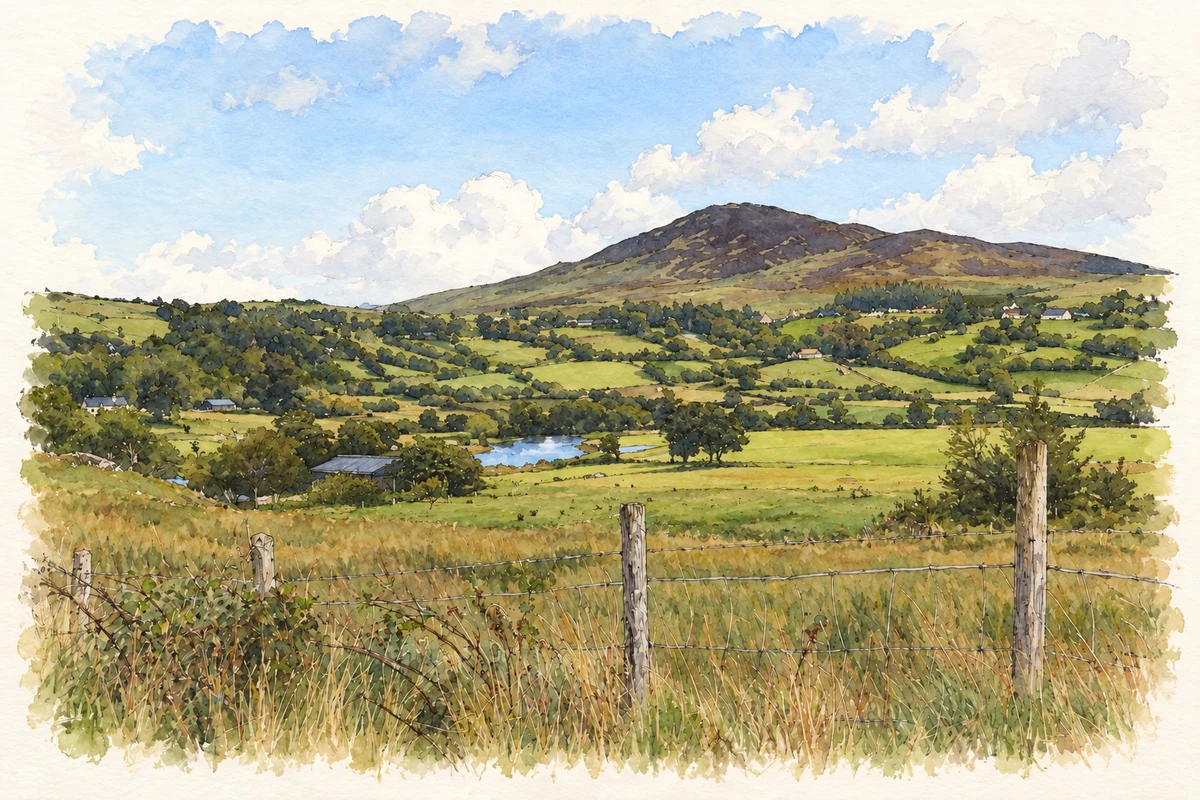
- Reelan River near Commeen illustration: based on a Reelan River by Ian Paterson. AI-assisted watercolour and ink adaptation; cream paper margins added, incidental clutter omitted and fine details simplified. Licence: CC BY-SA 2.0.
Name record retrieved 2026-10-25 · Source record modified 2018-11-29. How this page was prepared.