 placenames
Waterside
Taobh na hAbhann
Waterside on the west bank of the Bann preserves a coordinated Victorian streetscape shaped by the Clothworkers’ Company and a new river crossing.
The name
These Irish name elements are associated with this record in the Logainm glossary.
An element’s translation is a clue, rather than a complete explanation of the name. Its form and meaning depend on local history and the full Irish name.
Recorded forms
- Taobh na hAbhann · Irish · main form · validated name
- Waterside · English · main form
Place & story
Rebuilding the approach to Coleraine
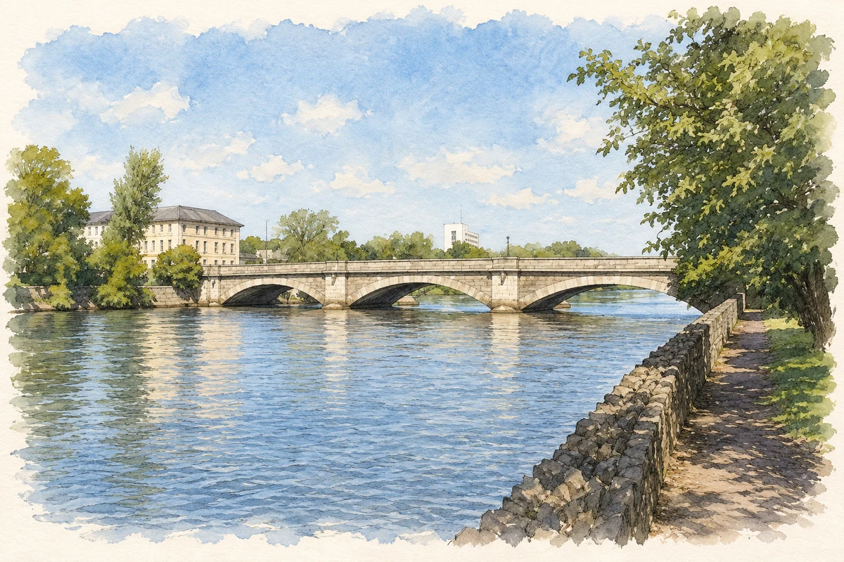
Waterside's terraces were rebuilt between about 1845 and 1854 after the Clothworkers' Company regained possession of property previously leased to often-absent landlords. The council museum's heritage trail credits Samuel Angell with overseeing the new design. Street levels were raised in connection with the new Bann bridge. The resulting approach brought building renewal and transport engineering together, giving the western side of the crossing a more coordinated architectural appearance. [2]
The Clothworkers’ Building
The Clothworkers' Building was among the first parts of this redevelopment, built around 1845 to Samuel Angell's design by John Lynn. Lynn also built the new bridge. The building subsequently accommodated the Clothworkers' Arms Hotel, also known as Davock's Hotel, where important local social occasions were held. Its prominence at the river crossing connects the company's investment in the streetscape with the hospitality and public life of nineteenth-century Coleraine. [2]
A congregation’s journey across the Bann
The National Library's local-history photograph record traces the Terrace Row Presbyterian congregation to Waterside in 1796. Its members included people who had moved into Coleraine from rural Dunboe, Ballywatt and Crossgar. The congregation relocated to Terrace Row on the opposite side of the river in 1834. The account preserves an earlier phase of Waterside's history, before the Victorian rebuilding, when migration from the countryside helped create new religious institutions in the growing town. [3]
Geographic information
Sources & further reading
- Logainm.ie — Waterside. Place names and geographic record, licensed under CC BY 4.0.
- Coleraine Heritage Trail, March 2026, pp.10–11 · Causeway Coast and Glens Museum Services
- Terrace Row Presbyterian Church: photograph record, 25 September 1993 · Stephen Lowry and Jennifer Cunningham, Coleraine Historical Society; National Library of Ireland
- Waterside population centre, canonical record 1413346 · Placenames Database of Ireland
- Bann Bridge and Waterside, Coleraine, County Derry illustration: based on a Bridge over the Bann in Coleraine by Des Colhoun. AI-assisted watercolour and ink adaptation; cream paper margins added, incidental clutter omitted and fine details simplified. Licence: CC BY-SA 2.0.
Name record retrieved 2026-10-25 · Source record modified 2011-12-06. How this page was prepared.