 placenames
Aghalane
Achadh Leathan
Early Creighton family property and a restored cross-border road link connect Aghalane with contrasting periods of Fermanagh’s history.
The name
These Irish name elements are associated with this record in the Logainm glossary.
An element’s translation is a clue, rather than a complete explanation of the name. Its form and meaning depend on local history and the full Irish name.
Recorded forms
- Achadh Leathan · Irish · main form · validated name
- Aghalane · English · main form
Place & story
The Aghalane estate
The Public Record Office of Northern Ireland’s account of the Erne papers traces the Creighton family’s Aghalane interests to a purchase from Thomas Moneypenny in 1613. An Aghalane castle followed around 1615. The family acquired Crom only later, in 1655, so Aghalane belongs to an earlier phase of its Fermanagh history. In the eighteenth century John Creighton moved from the castle to a new house at Killynick. His death in 1738 without a son led to the sale of an estate whose proceeds were divided among six daughters. [2]
Reopening the border crossing
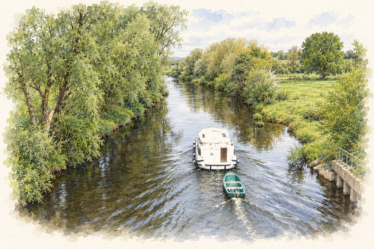
The Senator George Mitchell Peace Bridge at Aghalane opened on 1 April 1999, restoring a major route between Belturbet and Enniskillen. The joint project crossed the Woodford River and included four kilometres of improved roads on both sides of the border. Ministers Noel Dempsey and Lord Dubs formally opened the works. Contemporary reporting described the social as well as transport effects of the old crossing’s loss: nearby farming communities had been separated, and the main route between Dublin, Fermanagh and south Donegal had been interrupted. [3]
Peace for All
The sculpture Peace for All, by Derek A. Fitzsimons, stands on the Cavan side of the crossing. After restoration and reinstatement, it was rededicated on 26 May 2023 during a visit by Micheál Martin, who joined Cavan council representatives in planting a peace tree. The ceremony marked twenty-five years since the Good Friday Agreement and acknowledged Senator Mitchell’s role in the negotiations. The monument makes remembrance and reconciliation part of the bridge’s physical setting. [4]
Geographic information
- Place type
- Population centre
- County
- Fermanagh
- Barony
- Knockninny
- Civil parish
- Kinawley
- Within
- Aghalane
- Coordinates
- 54.11880, -7.46469 (approximate)
- Logainm ID
- 1413348 ↗
Sources & further reading
- Logainm.ie — Aghalane. Place names and geographic record, licensed under CC BY 4.0.
- Earl of Erne Papers, PRONI D1939: administrative history · Public Record Office of Northern Ireland / Irish Archives Resource
- Cross-Border bridge is opened, 2 April 1999 · Frank Kilfeather, The Irish Times
- Tánaiste hails Peace role of Senator Mitchell during Cavan visit, 26 May 2023 · Cavan County Council
- Woodford River at Aghalane illustration: based on a On the border; the Woodford River by Jonathan Billinger. AI-assisted watercolour and ink adaptation; cream paper margins added, incidental clutter omitted and fine details simplified. Licence: CC BY-SA 2.0.
Name record retrieved 2026-10-25 · Source record modified 2012-01-04. How this page was prepared.