 placenames
Tamlaght
Tamhlacht
Tamlaght’s church records named architects, patrons and glassmakers across several phases of nineteenth-century building.
The name
A reliable full-name meaning has not been established here. The recorded Irish and English forms are given without an unsupported translation.
Recorded forms
- Tamhlacht · Irish · main form · validated name
- Tamlaght · English · main form
Place & story
The church built in the 1850s
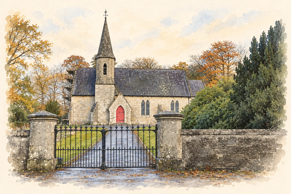
Saint Tighernach’s, the Derryvullen South parish church at Tamlaght, was designed by Joseph Welland. The Earl of Belmore laid its foundation stone on 17 August 1852, and it was consecrated in 1854. Anthony Denny provided the site and later a bell. A westward extension followed in 1866–67 under Welland and Gillespie, with William Campbell as contractor. These records distinguish the initial building campaign from its subsequent enlargement. [2]
A series of memorial windows
The church’s glass includes work by several nineteenth- and early twentieth-century firms. Ward and Hughes supplied windows in 1882, including a group of five eastern lancets with the Good Shepherd at the centre. Curtis, Ward and Hughes added a window in 1904, designed by George Measures Parlby. Mayer and Company supplied another in 1913, depicting Faith and Charity. The sequence makes the interior a record of successive commissions rather than a single decorative scheme. [2]
A settlement shaped around the church
Tamlaght developed beside the Enniskillen–Belfast road, with Saint Tighernach’s forming a focus south of the route. The district council’s countryside assessment describes housing in two clusters on either side of the road, within a landscape of drumlins. Steep slopes and a tributary of Upper Lough Erne constrain its setting. The relationship between the church, road and residential groups explains the village’s dispersed form, rather than suggesting a compact town laid out around a square. [3]
Geographic information
- Place type
- Population centre
- County
- Fermanagh
- Barony
- Tirkennedy
- Civil parish
- Derryvullan and Islands
- Within
- Tamlaght
- Coordinates
- 54.32593, -7.58497 (approximate)
- Logainm ID
- 1413438 ↗
Sources & further reading
- Logainm.ie — Tamlaght. Place names and geographic record, licensed under CC BY 4.0.
- Tamlaght, Church of St Tighernach, work record56293 · Irish Architectural Archive, Dictionary of Irish Architects
- Countryside Assessment: Tamlaght broad evaluation framework · Fermanagh and Omagh District Council
- St Tighernach's Church, Tamlaght, County Fermanagh illustration: based on a St Tighernach's Church, Tamlaght, County Fermanagh (5 November 2012) by Kenneth Allen. AI-assisted watercolour and ink adaptation; cream paper margins added, incidental clutter omitted and fine details simplified. Licence: CC BY-SA 2.0.
Name record retrieved 2026-10-25 · Source record modified 2014-01-16. How this page was prepared.