Ballynacarrigy's history can be read through its corn-and-butter markets, changing postal marks and a nineteenth-century newspaper account of neighbours bringing home turf.
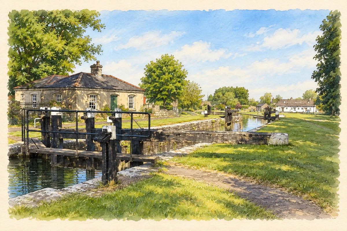
Illustration, Royal Canal Lock 35, Ballynacarrigy
⊕Recorded locationBallynacarrigy53.58452° N · 7.53359° WInteractive map supplied by OpenStreetMap.
These Irish name elements are associated with this record in the Logainm glossary.
An element’s translation is a clue, rather than a complete explanation of the name. Its form and meaning depend on local history and the full Irish name.
Recorded forms
Baile na Carraige· Irish · main form · validated name
Ballynacarrigy· English · main form
Ballynacargy· English · main form · local name
Place & story
Corn, butter and a second weekly market
In 1837 Samuel Lewis counted about sixty slate-roofed houses and 308 inhabitants at Ballynacarrigy. Wednesday's market sold corn and butter, while a Saturday market supplied provisions. Fairs were held in May and October, and petty sessions met every Wednesday. Lord Sunderlin had built a large schoolhouse open to children of all denominations, with the teacher's salary paid by Mrs Malone. Near the Royal Canal, the village combined agricultural trade, schooling and administration within a compact settlement owned by the Malone family.[2]
Two spellings on the postmarks
Specialist postal research records the opening of Ballynacargy's post office in 1808. Early handstamps measured the distance from Dublin because mileage affected postal charges. Surviving examples used different spellings and distances: Balnacarig with forty-eight miles, and Ballinacargy with forty-five. Later, the office received the numbered diamond cancellation 51. These small objects preserve the village's changing official spelling alongside the practical workings of the postal network. They also show how a place's communication history can survive on the envelopes that passed through it.[3]
A hundred neighbours bringing home turf
The first edition of the Westmeath Examiner, dated 28 September 1882, reported a gathering of roughly one hundred people from Ballynacargy and Sonna to bring home turf for parish priest Fr J. Cantwell. Horses and carts were available, but the road out of the bog was badly neglected. Instead of the five loads they had formerly managed, participants could bring only two each. After two days the work remained unfinished and another gathering was planned. The report preserves both a communal labour effort and a contemporary complaint about local roads.[4]
The canal on the club crest
Ballynacargy GAA was founded in 1923 and has used Moynihan Park in Ballysallagh since 1963. The club's crest, designed in the early 2000s, combines the entrance to its grounds with the canal bridge on Wood Road and Kilbixy church. Its own explanation identifies the canal and harbour as important to the village's growth. The chosen symbols connect sport with the transport and religious landmarks through which the community represents its longer history.[5]
Both counts use the 2016 settlement boundary, allowing like-for-like comparison. CSO supplies the 2022 count on this older boundary for comparison only. The official 2022 Built Up Area has different boundaries.
View population figures
Ballynacargy — Census 2016 settlement footprint — census population
Ballynacargy, Westmeath — Census town, CSO 2006 report
2002–2006: census town
292people · 2006
These are the historical areas published in the 2006 census report. Boundaries may differ between censuses and from modern settlements. Legal towns, environs and suburbs are shown separately; none has been combined into a modern settlement total.
View population figures
Ballynacargy, Westmeath — Census town, CSO 2006 report — census population
Ballynacargy, Westmeath — Census town, CSO 1996 report
1991–1996: census town
263people · 1996
These are the historical areas published in the 1996 census report. Boundaries may differ between censuses and from modern settlements. Legal towns, environs and suburbs are shown separately; none has been combined into a modern settlement total.
View population figures
Ballynacargy, Westmeath — Census town, CSO 1996 report — census population
Ballynacargy, Westmeath — Census town, CSO 1986 report
1981–1986: census town
240people · 1986
Figures cover the historical town area printed in the 1986 report. Boundaries may have changed between censuses. Legal town, environs and suburb totals remain separate and differ from modern settlement boundaries.
View population figures
Ballynacargy, Westmeath — Census town, CSO 1986 report — census population
These figures use different area definitions. Read the boundary note before comparing them.
Ballynacargy, Westmeath
Published census settlement populations
277people · 2016
Settlement boundaries changed during this period. Differences may reflect boundary changes as well as population change. Where a 2011 legal-town-and-environs count is shown, it has not been recalculated onto the 2016 settlement boundary.
 placenames