 placenames
Stroove
An tSrúibh
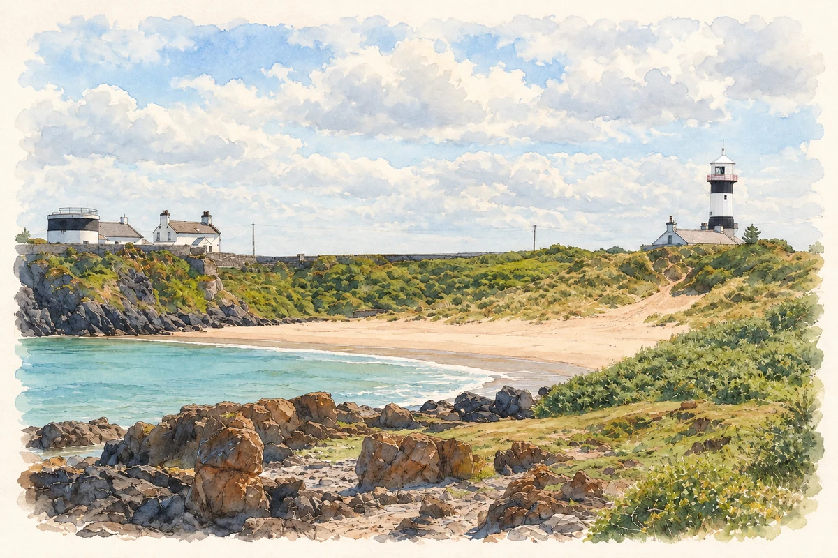
Stroove’s paired lighthouse towers and coastal springs connect the working entrance to Lough Foyle with locally recorded sacred traditions.
The name
A reliable full-name meaning has not been established here. The recorded Irish and English forms are given without an unsupported translation.
Recorded forms
- An tSrúibh · Irish · main form · validated name
- Stroove · English · main form
- Shrove · English · main form · local name
Place & story
Two lights to clear the sandbank
The two lighthouses at Dunagree Point were designed to guide ships entering Lough Foyle clear of the Tuns Bank. Following requests from Derry's maritime authorities in 1832, George Halpin investigated the site and designed the towers. Their fixed white lights first shone on 1 December 1837. Standing about 140 metres apart, the pair served as leading lights: their alignment helped mariners judge a safe course through the approach. [2]
A changing station
The original towers were equal in height, which made them difficult to distinguish from sea. The western tower was raised with a cast-iron extension around 1871. Later changes included a fog signal, electric lighting and the discontinuance of the paired leading lights in 1961. The station was automated on 31 August 1979, when the keepers withdrew. The surviving towers preserve several stages in the adjustment of coastal navigation technology to local hazards. [2]
The spring and Colmcille
Visit Inishowen records a spring near a cross-inscribed pillar stone at Stroove as dedicated to Saint Colmcille. Local tradition says he stopped for water there on his journey to Iona. The same account describes a wishing well near the natural arch at Port-a-dorais, where drinking the water was said to bring a wish's fulfilment. These are recorded beliefs attached to particular coastal features; they do not establish an independently dated visit by the saint. [3]
Geographic information
- Place type
- Population centre
- County
- Donegal
- Barony
- Inishowen East
- Civil parish
- Moville Lower
- Within
- Greencastle
- Within
- Stroove
- Coordinates
- 55.22050, -6.94712 (approximate)
- Logainm ID
- 1414076 ↗
Sources & further reading
- Logainm.ie — Stroove. Place names and geographic record, licensed under CC BY 4.0.
- Inishowen Lighthouse: station history · Commissioners of Irish Lights
- Shroove: coastal features and local traditions · Visit Inishowen
- White Bay and Inishowen lighthouses at Stroove, County Donegal illustration: based on a White Bay at Stroove by Patrick Mackie. AI-assisted watercolour and ink adaptation; cream paper margins added, incidental clutter omitted and fine details simplified. Licence: CC BY-SA 2.0. Additional reference: Stroove Lighthouse complex (1) by Michael Dibb, CC BY-SA 2.0.
Name record retrieved 2026-10-25 · Source record modified 2025-01-10. How this page was prepared.