 placenames
Aclare
Áth an Chláir
Aclare’s nineteenth-century bridge, former barracks and post office preserve the fabric of a small rural centre.
The name
These Irish name elements are associated with this record in the Logainm glossary.
An element’s translation is a clue, rather than a complete explanation of the name. Its form and meaning depend on local history and the full Irish name.
Recorded forms
- Áth an Chláir · Irish · main form · validated name
- Aclare · English · main form
Place & story
The bridge over the Lough Talt River
Aclare’s limestone bridge crosses the Lough Talt River at the western end of the village. The National Inventory of Architectural Heritage dates it broadly to around 1850 and records five spans, of which two western arches have been infilled. Pointed cutwaters divide the remaining arches, with carefully dressed stone forming their edges and the piers. The bridge’s altered form records changes to the riverbank as well as the original investment in a substantial road crossing. [2]
The former constabulary barracks
The former barracks at Carns dates from around 1830. Its two-storey form resembles a substantial village house, with a slate roof and sash windows. A central entrance porch was added around 1950. The National Inventory of Architectural Heritage identifies the building as a characteristic rural constabulary barracks, retaining much earlier fabric despite later changes. Its presence records Aclare’s role as a centre for policing a surrounding rural district, alongside its commercial and domestic buildings. [3]
A post office within a house
A four-bay house at Lislea once served as Aclare’s post office. Built around 1850, it retains timber sash windows and rendered chimneystacks beneath its slate roof. The heritage survey notes physical evidence of a post box formerly installed in one window. That small alteration is a particularly direct trace of the building’s public function. It shows how postal services could be accommodated within an otherwise domestic village frontage. [4]
Geographic information
- Place type
- Population centre
- County
- Sligo
- Barony
- Leyny
- Civil parish
- Kilmacteige
- Coordinates
- 54.03576, -8.90059 (approximate)
- Logainm ID
- 1414428 ↗
Sources & further reading
- Logainm.ie — Aclare. Place names and geographic record, licensed under CC BY 4.0.
- Aclare bridge, Kilmacteige, 32315001 · National Inventory of Architectural Heritage
- Aclare Constabulary Barrack, Carns, 32315002 · National Inventory of Architectural Heritage
- Aclare Post Office, Lislea, 32315003 · National Inventory of Architectural Heritage
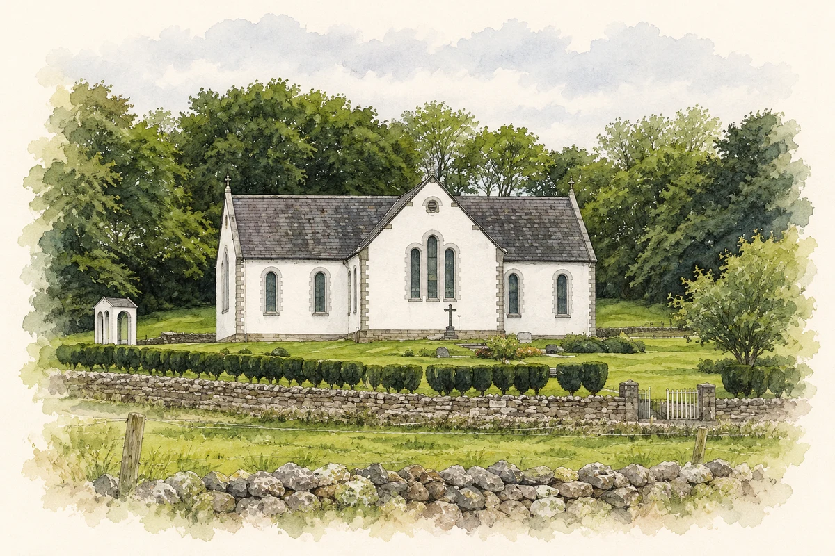
- Our Lady of the Rosary Church, Kilmactigue, near Aclare, County Sligo illustration: based on a Our LadyofRosary Church, Kilmactigue, Aclare (30May2004) by KayB. AI-assisted watercolour and ink adaptation; cream paper margins added, incidental clutter omitted and fine details simplified. Licence: CC BY-SA 2.0.
Name record retrieved 2026-10-25 · Source record modified 2025-01-10. How this page was prepared.