 placenames
Cregganbaun
An Creagán Bán
Cregganbaun’s school building and the remembered move of ten families to Westmeath preserve different parts of its twentieth-century history.
The name
These Irish name elements are associated with this record in the Logainm glossary.
An element’s translation is a clue, rather than a complete explanation of the name. Its form and meaning depend on local history and the full Irish name.
Recorded forms
- An Creagán Bán · Irish · main form · validated name
- Cregganbaun · English · main form
Place & story
The dated schoolhouse
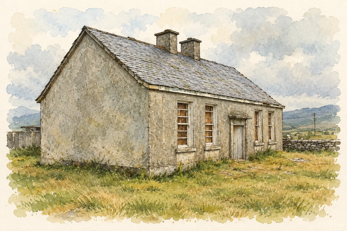
Cregganbaun National School bears a 1945 date stone above its central entrance. The architectural inventory describes a symmetrical single-storey building with paired windows and chimney stacks. It suggests that the structure may incorporate an earlier school, already present in 1901 and marked on the Ordnance Survey map surveyed in 1913. The inventory found substantial original fabric surviving despite the building’s disuse. [2]
Ten families leave for Kiltoom
In 1955 ten families from Cregganbaun moved together to Kiltoom in County Westmeath through a Land Commission migration scheme. Mary O’Malley’s report of a 2024 lecture records the experience of John Burke, who made the move as a child, and the research presented by John and Mary Burke. Their account connects the move with access to better farmland, while recalling the loss felt by neighbours and the school community left behind. [3]
Keeping the connection
The families maintained connections across the country through visits and reunions. O’Malley records a fortieth-anniversary gathering in Westmeath in 1995 and a return visit to Mayo in 2015. At the 2024 lecture, everyday objects carried east by the families were displayed, including a cooking pot, oil lamp and a family crucifix. Such possessions linked accounts of land settlement with the households that experienced it. [3]
Geographic information
Sources & further reading
- Logainm.ie — Cregganbaun. Place names and geographic record, licensed under CC BY 4.0.
- Cregganbaun National School — NIAH 31309603 · National Inventory of Architectural Heritage
- From Cregganbaun to Kiltoom — lecture in Mullingar, February 2024 · Mary O’Malley / Louisburgh Killeen Heritage
- Old Cregganbaun School, County Mayo illustration: based on a Cregganbaun School by Steve Edge. AI-assisted watercolour and ink adaptation; cream paper margins added, incidental clutter omitted and fine details simplified. Licence: CC BY-SA 2.0.
Name record retrieved 2026-10-25 · Source record modified 2025-01-10. How this page was prepared.