 placenames
Killateeaun
Coill an tSiáin
Killateeaun’s records cross an old county boundary, while its recent history brings together a small lakeside school and craft distilling.
The name
These Irish name elements are associated with this record in the Logainm glossary.
An element’s translation is a clue, rather than a complete explanation of the name. Its form and meaning depend on local history and the full Irish name.
Recorded forms
- Coill an tSiáin · Irish · main form · validated name
- Killateeaun · English · main form
Place & story
Once on the Galway side
Killateeaun belonged to County Galway before the boundary changes of 1898 placed this part of the western Lough Mask shore in Mayo. The 1911 census report records the transfer of the Ballinchalla and Owenbrin electoral divisions, while the McGing local-history archive specifically identifies Killateeaun among the places affected. This change helps explain why records for a community now identified with Mayo can appear in earlier Galway sources. [2] [3]
The school and declining numbers
In a 2008 interview with The Mayo News, Killateeaun school principal Tomás Heneghan described the pressures facing a small rural school. Enrolment had fallen from forty-eight when he began teaching there in 1985 to an expected twenty-five that September. He connected the decline with young families settling elsewhere and the lasting effects of earlier emigration. His account presents a particular moment in the school’s history, when keeping local education available mattered increasingly as other services disappeared. [4]
A building returned to production
A restored building at Killateeaun became home to Drioglann Loch Measc, the Lough Mask Distillery. In a 2018 interview, Eoin Holmes described adapting the empty premises and beginning production that year. Handmade copper pot stills were combined with equipment reused from breweries, distilleries and dairy farms. The project brought gin, vodka and whiskey production into the local economy, giving an existing building another industrial use beside the lake. [5]
Geographic information
- Place type
- Population centre
- County
- Mayo
- Barony
- Ross
- Civil parish
- Ballinrobe
- Coordinates
- 53.60821, -9.43545 (approximate)
- Logainm ID
- 1414564 ↗
Sources & further reading
- Logainm.ie — Killateeaun. Place names and geographic record, licensed under CC BY 4.0.
- Census of Ireland1911, County Mayo, boundary note · Census of Ireland, Central Statistics Office archive
- Mayo Galway Border Shift1898 · McGing Family Genealogy, local boundary research and Mayo librarian correspondence
- Back to School Special: Keeping their doors open,26August2008 · Anton McNulty, The Mayo News, reproduced by Ireland Live
- Loch Measc gin proving to be a sensation,4October2018 · Tom Gillespie, Connaught Telegraph
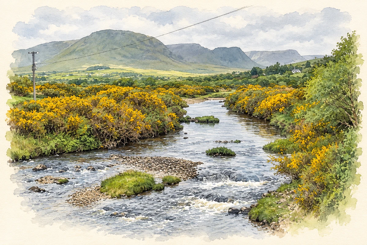
- The Owenbrin River at Killateeaun, as photographed in 2011 illustration: based on a Owenbrin River by Oliver Dixon. AI-assisted watercolour and ink adaptation; cream paper margins added, incidental clutter omitted and fine details simplified. Licence: CC BY-SA 2.0.
Name record retrieved 2026-10-25 · Source record modified 2016-12-19. How this page was prepared.