 placenames
Ballyduff
An Baile Dubh
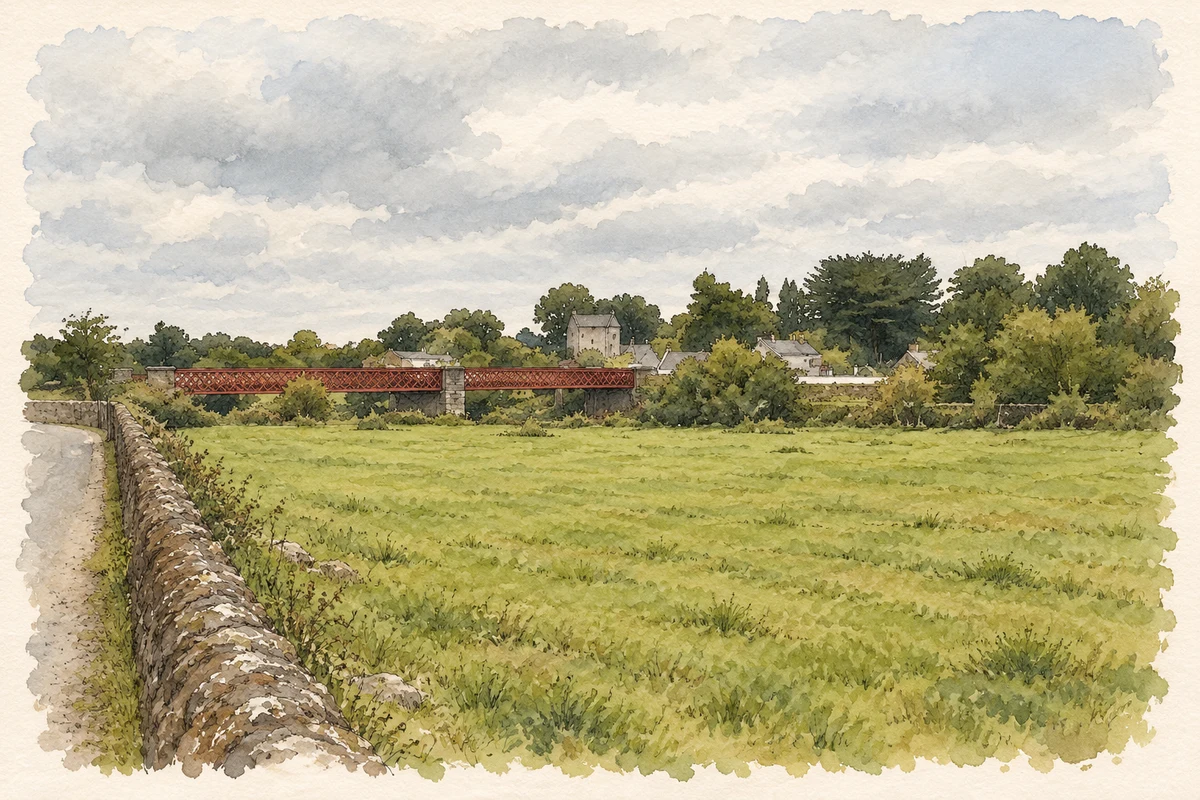
The bridge and the buildings on either side record the engineering, policing and parish life of nineteenth-century Ballyduff.
The name
These Irish name elements are associated with this record in the Logainm glossary.
An element’s translation is a clue, rather than a complete explanation of the name. Its form and meaning depend on local history and the full Irish name.
Recorded forms
- An Baile Dubh · Irish · main form
- Ballyduff · English · main form
Place & story
The Blackwater crossing
Ballyduff’s two-span iron bridge dates from 1887. Waterford County Engineer W. E. L’Estrange Duffin designed it, and E. C. and J. Keay built it. Iron girders carry the roadway between limestone piers and abutments; the lattice parapets give the crossing its distinctive outline. A triangular cutwater faces upstream, while curved stone walls lead towards the bridge. The National Inventory identifies it as an important survival of iron bridge construction and the county’s developing nineteenth-century road network. [2]
A fortified barracks
The former constabulary barracks was built in 1869 on elevated ground near the southern approach to the bridge. Designed by the Jacobs Brothers for the Board of Works, it combined a three-storey stone building with corner turrets and defensive gun loops. The National Inventory links its construction with the period’s agrarian unrest. Its Scottish Baronial appearance gave a conspicuous architectural form to a practical police building. Conversion to a Garda station in 1926 continued its association with policing after independence. [3]
Saint Michael’s Church
Saint Michael’s was built around 1850 under the Reverend P. Slattery on land donated by George A. Wood. Its cruciform plan brings transepts off the nave, with a chancel and sacristy beyond. The entrance front uses carefully dressed sandstone and stepped buttresses beneath a stone bellcote. Inside, timber galleries, an exposed timber roof and carved marble furnishings contribute to the recorded character. The church and its surrounding graveyard form another substantial nineteenth-century element in the village beside the Blackwater. [4]
Geographic information
- Place type
- Population centre
- County
- Waterford
- Barony
- Coshmore and Coshbride
- Civil parish
- Lismore and Mocollop
- Within
- Ballyduff
- Coordinates
- 52.14835, -8.04891
- Logainm ID
- 1414594 ↗
Sources & further reading
- Logainm.ie — Ballyduff. Place names and geographic record, licensed under CC BY 4.0.
- Ballyduff Bridge, 22808002 · National Inventory of Architectural Heritage
- Ballyduff Garda Síochána Station, 22808001 · National Inventory of Architectural Heritage
- Saint Michael’s Catholic Church, 22808003 · National Inventory of Architectural Heritage
- Ballyduff Bridge over the River Blackwater, County Waterford illustration: based on a Bridge over the Blackwater at Ballyduff by Paul O'Farrell. AI-assisted watercolour and ink adaptation; cream paper margins added, incidental clutter omitted and fine details simplified. Licence: CC BY-SA 2.0.
Name record retrieved 2026-10-25 · Source record modified 2026-08-12. How this page was prepared.