These Irish name elements are associated with this record in the Logainm glossary.
An element’s translation is a clue, rather than a complete explanation of the name. Its form and meaning depend on local history and the full Irish name.
Recorded forms
Áth na Fuinseoige· Irish · main form · validated name
Ashford· English · main form
Place & story
A stop on the coach road
Lewis describes Ashford in 1837 as a village and post-town on the southern side of the Vartry, spelling the river Vartrey. A posting-house and hotel served travellers on the Dublin mail-coach road, while four annual fairs connected the settlement with its agricultural surroundings. The river and road therefore belong together in the village's early nineteenth-century story: one shaped its setting, the other carried business and visitors.[2]
People & connections
The Walpoles at Mount Usher
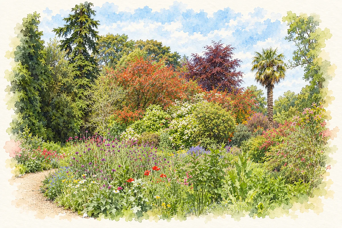
Edward Walpole took over the lease of Mount Usher, formerly a mill, in 1868, according to the Irish Garden Plant Society. Four generations of the family developed the garden before its sale in 1980. Planting and care continued across successive generations, transforming a working site beside the Vartry.[3][4]
Robinson's influence
William Robinson’s ideas influenced the Walpoles’ planting at Mount Usher. Trees, shrubs and mixed borders were arranged in sympathy with the existing landscape and the Vartry, creating the informal character for which the garden became known.[4]
A garden with successive custodians
Madeline Jay purchased Mount Usher in 1980, and Avoca became its tenant in 2007. The operator’s tree trail describes a twenty-two-acre garden through which the river runs. Its later owners and gardeners continued the work of caring for a landscape begun under the Walpoles.[4]
Both counts use the 2016 settlement boundary, allowing like-for-like comparison. CSO supplies the 2022 count on this older boundary for comparison only. The official 2022 Built Up Area has different boundaries.
View population figures
Ashford — Census 2016 settlement footprint — census population
These are the historical areas published in the 2006 census report. Boundaries may differ between censuses and from modern settlements. Legal towns, environs and suburbs are shown separately; none has been combined into a modern settlement total.
View population figures
Ashford, Wicklow — Census town, CSO 2006 report — census population
These are the historical areas published in the 1996 census report. Boundaries may differ between censuses and from modern settlements. Legal towns, environs and suburbs are shown separately; none has been combined into a modern settlement total.
View population figures
Ashford, Wicklow — Census town, CSO 1996 report — census population
Figures cover the historical town area printed in the 1986 report. Boundaries may have changed between censuses. Legal town, environs and suburb totals remain separate and differ from modern settlement boundaries.
View population figures
Ashford, Wicklow — Census town, CSO 1986 report — census population
These figures use different area definitions. Read the boundary note before comparing them.
Ashford, Wicklow
Published census settlement populations
1,425people · 2016
Settlement boundaries changed during this period. Differences may reflect boundary changes as well as population change. Where a 2011 legal-town-and-environs count is shown, it has not been recalculated onto the 2016 settlement boundary.
Mount Usher Gardens illustration: based on a reference photograph by Michael Dibb. AI watercolour/ink adaptation; clutter removed, margins added and fine details simplified. Licence: CC BY-SA 2.0.
 placenames