These Irish name elements are associated with this record in the Logainm glossary.
An element’s translation is a clue, rather than a complete explanation of the name. Its form and meaning depend on local history and the full Irish name.
Recorded forms
Ceathrú Aodha Dhuibh· Irish · main form · validated name
Carryduff· English · main form
Place & story
A congregation takes shape
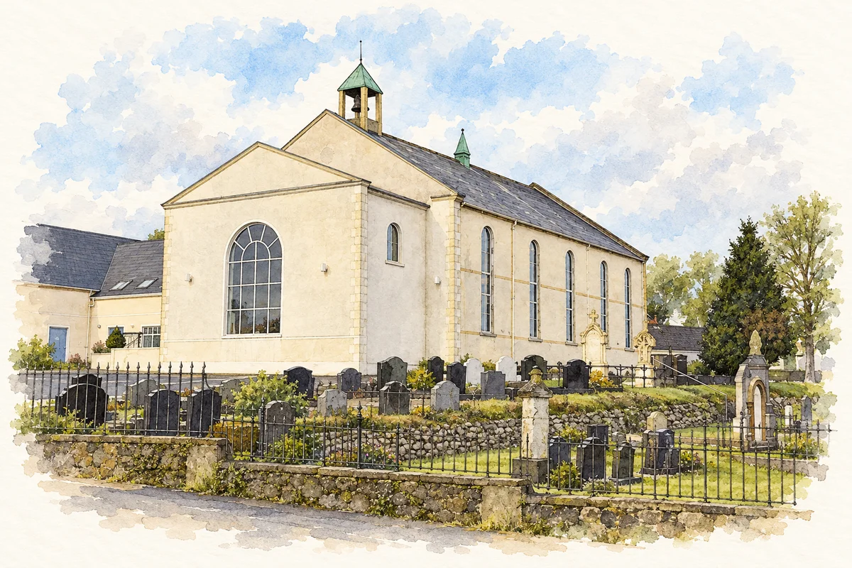
Carryduff Presbyterian Church traces its beginnings to meetings held in an old school at Killynure in 1838. The congregation acquired land in Carryduff, and the new church opened on 1 November 1841.[2]
People & connections
Hugh Brown and the Church Road meetinghouse
The congregation’s first minister was the Reverend Hugh Brown. Photographer Albert Bridge’s record of the Church Road building identifies its church and graveyard and dates the meetinghouse to 1841. The older congregation and its burial ground supply a visible nineteenth-century landmark within the later town.[4]
A settlement at road junctions
The council’s countryside assessment describes Carryduff as an elevated satellite town of Belfast. Roads from its central junction lead towards Saintfield, Comber, Ballynahinch and Belfast, threading through established housing and newer residential schemes.[3]
From a barn to St Ignatius
The Church of Ireland community began meeting in Thomas Sloan’s barn in 1952, according to the parish history. A permanent, dual-purpose hall followed in 1954. Donald A. Shanks designed a church linked to that hall, and Sloan Brothers built it at a cost of £32,000, including the Bishop Jeremy Taylor Chapel and alterations to the hall. St Ignatius was consecrated on 2 October 1965. The Dean Good Memorial Hall complex opened in 1991, adding another stage to the parish’s development as Carryduff grew.[5]
Both censuses use the same 2015 settlement boundary. These exact counts cover usual residents in the settlement, rather than local government districts or historic counties. Other NISRA tables may use approximate counts.
View population figures
CARRYDUFF — Settlement 2015 (N11000159) — census population
Carryduff Presbyterian Church illustration: based on a reference by Albert Bridge. AI watercolour and ink adaptation; clutter removed, margins added and fine details simplified. Licence: CC BY-SA 2.0.
 placenames