These Irish name elements are associated with this record in the Logainm glossary.
An element’s translation is a clue, rather than a complete explanation of the name. Its form and meaning depend on local history and the full Irish name.
Recorded forms
Caisleán Uidhilín· Irish · main form · validated name
Castlewellan· English · main form
Place & story
A castle and a pleasure garden
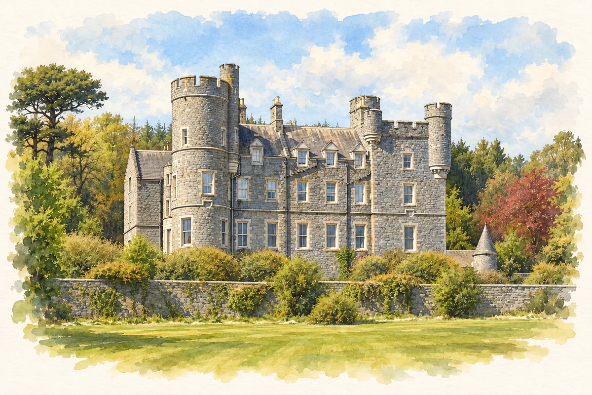
William Richard Annesley, the fourth earl, commissioned architect William Burn to design Castlewellan Castle, built in the 1850s. The walled garden expanded into twelve acres of pleasure grounds, incorporating the kitchen garden and orchard. Terraces, granite steps and extensive glasshouses supported the new planting. By 1871 the collection included magnolias and rhododendrons, and the garden admitted the public on Mondays and Thursdays. Architecture and horticulture developed together across the demesne.[2]
People & connections
Hugh Annesley and Thomas Ryan
Hugh Annesley inherited in 1874 and made plant collecting a central pursuit. His head gardener, Thomas Ryan from Limerick, took that post in 1881. Skilled in propagation and acclimatisation, Ryan cared for more than three thousand kinds of rare plants by 1903. Hugh's book of that year, Beautiful and Rare Trees and Plants, included seventy of his own photographs. Some of the trees he photographed survive, connecting the living collection with a remarkably personal visual record.[2]
A public arboretum restored
Gerald Annesley sold the demesne to the Ministry of Agriculture in 1967, and the forest park opened two years later. Its arboretum subsequently expanded beyond the original garden into a much larger planted landscape. The walled garden reopened in March 2026 after restoration of drainage, paths, fountains, glasshouses and herbaceous borders. Rhododendron Wood, reached through Lady's Gate, preserves the character of a Victorian wild garden, with a viewpoint towards Slieve Donard framed by Scots pines.[3]
Both censuses use the same 2015 settlement boundary. These exact counts cover usual residents in the settlement, rather than local government districts or historic counties. Other NISRA tables may use approximate counts.
View population figures
CASTLEWELLAN — Settlement 2015 (N11000268) — census population
These are the town figures printed in the historical census reports, separate from the surrounding rural district and modern settlement. Some historical towns had no fixed boundary; a consistent footprint across years is not assumed.
View population figures
Castlewellan — historical census town — census population
Castlewellan — census rectangle J320350 to J350370
Earlier census population, 1991
2,230people · 1991
The census used a grid rectangle around the built-up area, rather than today’s settlement boundary. The 1981 figures are as enumerated, without adjustment for non-enumeration. These counts remain separate from later settlement totals.
View population figures
Castlewellan — census rectangle J320350 to J350370 — census population
The published 2001 KS01 settlement count uses an earlier geography and disclosure-control methods. It is not rebased to the 2015 settlement used for 2011 and 2021. The geographic matching file can contain a different 2001 count; the figure shown here comes from KS01.
View population figures
Castlewellan — KS01 Settlement (2005 geography) — census population
Castlewellan Castle, County Down illustration: based on a Castlewellan Castle by Eric Jones. AI-assisted watercolour and ink adaptation; cream paper margins added, incidental clutter omitted and fine details simplified. Licence: CC BY-SA 2.0.
 placenames