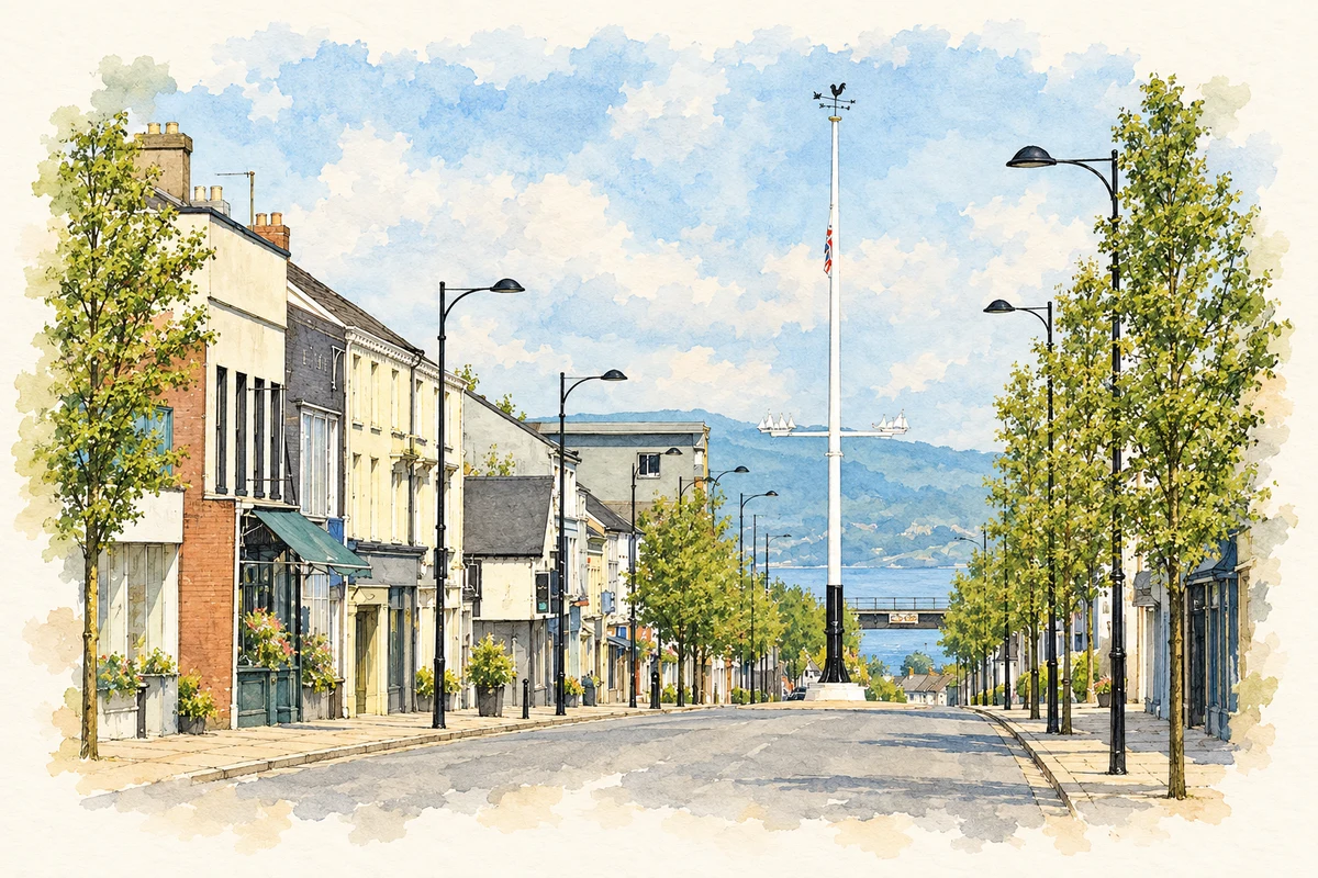
Holywood’s ruined priory and street-corner maypole preserve different strands of a town shaped by religious institutions, Scottish settlement and artistic work.
Illustration, Holywood Maypole and High Street, County Down
⊕Recorded locationHolywood54.63067° N · 5.83178° WInteractive map supplied by OpenStreetMap.
These Irish name elements are associated with this record in the Logainm glossary.
An element’s translation is a clue, rather than a complete explanation of the name. Its form and meaning depend on local history and the full Irish name.
Recorded forms
Ard Mhic Nasca· Irish · main form · validated name
Holywood· English · main form
Place & story
A church through several communities
Holywood’s Old Priory occupies a site associated with an early medieval religious community. Its surviving fabric includes work from an Augustinian foundation of about 1190, later adapted for the Franciscans around 1490. Following the dissolution, fire damaged the religious buildings in 1572. The council’s Christian heritage trail records restoration under James Hamilton and the installation of Presbyterian minister Robert Cunningham in 1615.[2]
The building later served the established Church of Ireland until the congregation moved to a new site in 1844. Its tower dates from 1809. Those changes left medieval church walls and a much later tower together in the churchyard, where generations of local families were buried.[2]
Folklore & tradition
May Day at the crossroads
The maypole stands at the junction of High Street and Shore Street and remains a focus for annual May Day dancing. The council’s heritage interpretation also connects Holywood’s nineteenth-century growth with the coastal railway and the houses built by Belfast industrial families. The street-corner celebration continues within that later townscape.[3]
People & connections
Rosamond Praeger’s public art
Sculptor and illustrator Sophia Rosamond Praeger came from Holywood. She trained in Belfast and at the Slade, exhibited internationally and became president of the Royal Ulster Academy. Her small figure Johnny the Jig, a child playing an accordion, stands near the maypole. A local heritage study records that she left her studio for the benefit of Holywood’s children, extending a connection expressed through both her artwork and community activity.[4][5]
Both censuses use the same 2015 settlement boundary. These exact counts cover usual residents in the settlement, rather than local government districts or historic counties. Other NISRA tables may use approximate counts.
View population figures
HOLYWOOD — Settlement 2015 (N11000570) — census population
The report states that these figures use the district as constituted in 1926. This is a historical urban administrative area, separate from the modern settlement boundary and usual-resident population.
View population figures
Holywood Urban District — 1926 boundary — census population
The census used a grid rectangle around the built-up area, rather than today’s settlement boundary. The 1981 figures are as enumerated, without adjustment for non-enumeration. These counts remain separate from later settlement totals.
View population figures
Holywood — census rectangle J390772 to J416798 — census population
Holywood Maypole and High Street, County Down illustration: based on a The Maypole, Holywood (June 2018) by Albert Bridge. AI-assisted watercolour and ink adaptation; cream paper margins added, incidental clutter omitted and fine details simplified. Licence: CC BY-SA 2.0.
 placenames