These Irish name elements are associated with this record in the Logainm glossary.
An element’s translation is a clue, rather than a complete explanation of the name. Its form and meaning depend on local history and the full Irish name.
Recorded forms
Cill Chaoil· Irish · main form · validated name
Kilkeel· English · main form
Place & story
Saint Colman’s above the streets
The ruins of Saint Colman’s old church stand within a raised churchyard near Bridge Street. Kilkeel’s heritage trail records the medieval dedication as Saint Colman del Morne and identifies a defaced cross beside a granite socket stone. The site preserves a religious centre older than the harbour town below it.[2]
A nineteenth-century port
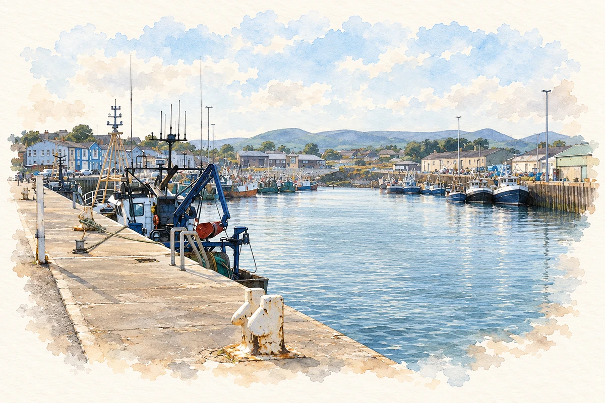
Work on Kilkeel harbour began in the 1850s. The council’s tourism account records a pier completed in 1868 and further improvements in 1872. Schooners linked the port with Liverpool, Scotland, Cornwall and Kinsale, carrying potatoes, grain and granite and bringing in coal. The expanding waterfront required stores, workshops and services as well as sheltered moorings.[3]
People & connections
William Paynter’s Cornish boats
In 1875 William Paynter arrived from St Ives in Cornwall and established a boatbuilding yard at Kilkeel. Newry and Mourne Museum’s history records the Cornish-style luggers, known as nickies, which were well suited to herring fishing. Cooperages supplied barrels for the associated curing trade. Photographs of McKee’s curing station and cooperage preserve the shore-based labour behind the fishing fleet. Harbour expansion continued with the Old Dock in 1886 and a larger inner basin in 1916.[4]
Folklore & tradition
The stone remembered as a wart well
The local heritage trail records a healing custom attached to the granite socket stone in the old churchyard: it was traditionally used as a wart well. This is an attested local belief associated with a particular surviving object. The source does not establish when the practice began or identify an individual collector.[2]
Both censuses use the same 2015 settlement boundary. These exact counts cover usual residents in the settlement, rather than local government districts or historic counties. Other NISRA tables may use approximate counts.
View population figures
KILKEEL — Settlement 2015 (N11000527) — census population
The census used a grid rectangle around the built-up area, rather than today’s settlement boundary. The 1981 figures are as enumerated, without adjustment for non-enumeration. These counts remain separate from later settlement totals.
View population figures
Kilkeel — census rectangle J290130 to J320160 — census population
The published 2001 KS01 settlement count uses an earlier geography and disclosure-control methods. It is not rebased to the 2015 settlement used for 2011 and 2021. The geographic matching file can contain a different 2001 count; the figure shown here comes from KS01.
View population figures
Kilkeel — KS01 Settlement (2005 geography) — census population
Inner fishing harbour, Kilkeel, County Down illustration: based on a The Inner Harbour at Kilkeel by Eric Jones. AI-assisted watercolour and ink adaptation; cream paper margins added, incidental clutter omitted and fine details simplified. Licence: CC BY-SA 2.0.
 placenames